


LOUISVILLE, Ky. (WDRB) -- Proposed district maps for Indiana are causing some Democrats to voice concerns that the Republican-backed plan is an instance of gerrymandering.
District lines are determined every ten years based on census data.
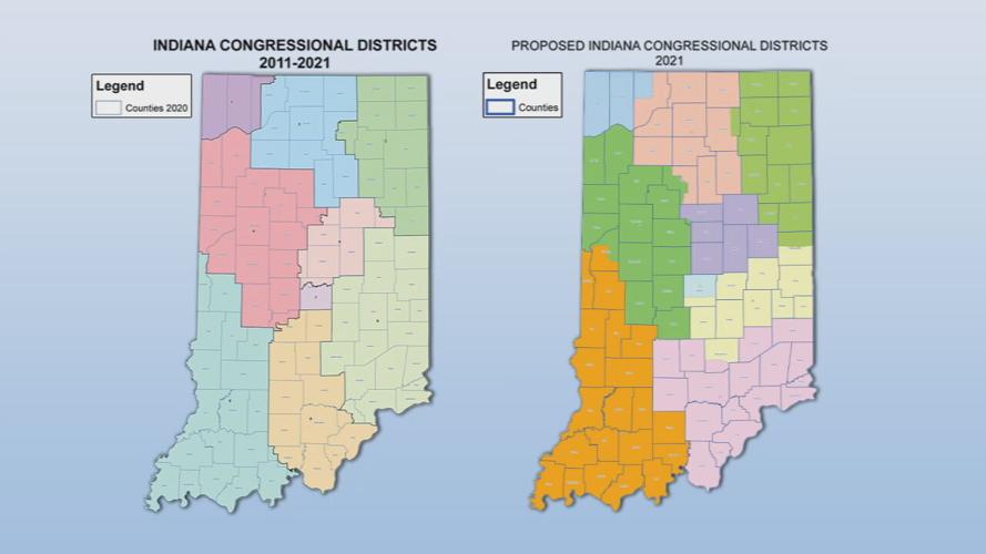
Under the new proposed Indiana Congressional Districts map, Crawford and Orange counties will no longer be under the same representation as Harrison, Floyd and Clark.
Under the new proposed Indiana State House of Representatives Districts map, Washington County will be split among three districts. Floyd County will remain split in two, however the area will now also include New Albany.
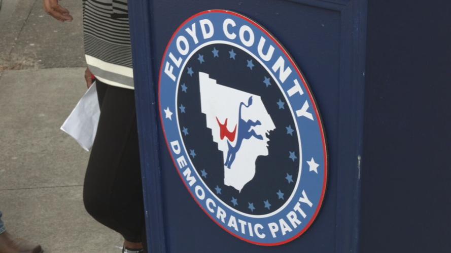
In a press conference outside the Floyd County Democratic Headquarters, some democratic leaders said the new maps were gerrymandering by the Republicans.
Gerrymanding is the process of redrawing legislative lines to unfairly favor one party over another.
"When one political party controls all levels of government, Indiana loses, Hoosiers lose, and we all lose," said Indiana Democratic Party Chairman Mike Schmuhl. "I think the last decade provided a hard-learned example on why fair and balanced legislative maps really matter for all Hoosiers across this state."
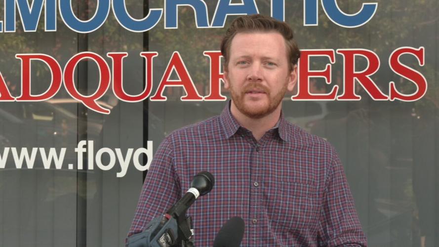
"Republicans are quite happy that Indiana's legislative and congressional maps are 95% more biased than the rest of the country," said Democratic New Albany City Councilman Jason Applegate.
"I think this is a talking point the opposition party uses every ten years, when this rolls around in Indiana," said Indiana Republican Party Chairman Kyle Hupfer. "We are a Republican state. There is no way to draw maps that would give Democrats a majority of seats in the state."

Hupfer says representatives did try to keep cities, townships and counties together, but it wasn't always possible.
"It's impossible as cities grow larger to necessarily keep all that together. You have to look at geography, there's a lot of different factors," said Hupfer.
Democratic leaders say the new maps could make it harder for minority voters to spark change, but Republican leaders say anyone can make a difference if they want to, regardless of party lines.
"You're splitting up the urban center, you're diluting the small amount of diversity that we do have in Indiana, and you're not having any representation for our urban areas," said Applegate.
"Go out and impact elections. Go knock on doors for the candidate you want, and go work hard for the people you think will best represent you elected," said Hupfer.
The new maps already passed in the House. Hupfer says the maps could get final approval in less than two weeks if passed by the Senate and approved by Gov. Eric Holcomb.
Copyright 2021 WDRB Media. All Rights Reserved.


