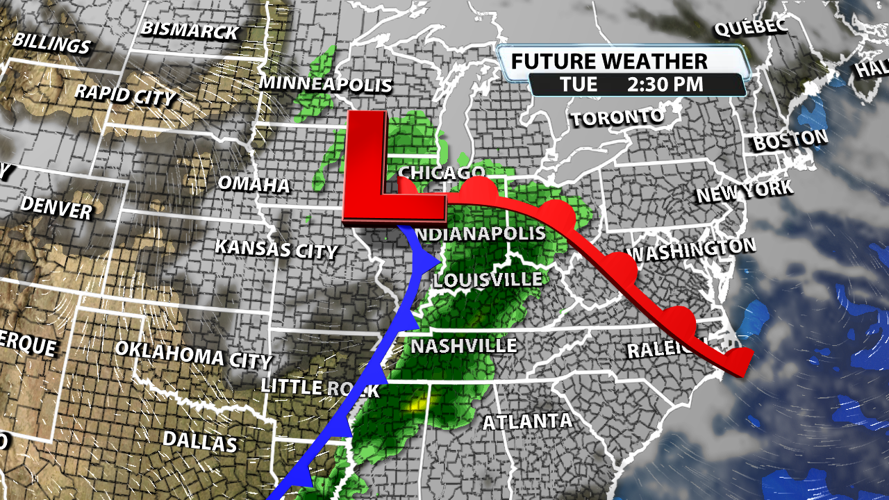


The dreary rainy days are going to become the norm for a bit around here. We already picked up on roughly an inch of rain across much of Kentuckiana on Tuesday, but there will be plenty more to stack up those rainfall totals in the days to come!

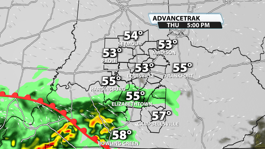
We'll likely stay dry tonight and for much of the day Thursday. Showers could return Thursday afternoon or early Thursday evening. Moderate rain will be likely much of Thursday night.

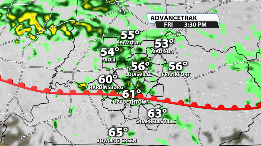
A warm front will lift north on Friday. This will provide us with a similar rain chance to what we got Tuesday: off-and-on showers and storms with heavy rain possible at times.

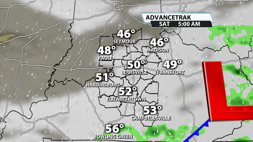
The system moves east of our region early on Saturday. We won't rule out some light showers around sunrise, but rain is unlikely to stick around after that. This should bring an end to our rain chances for the weekend.

The beginning of the next work week will very likely be dry, but a new system arrives late Monday into Tuesday. This means another round of showers and storms that could produce some heavy rain. Once all is said and done with the next couple of big systems, we could be talking another area-wide 1" - 2" of rainfall.

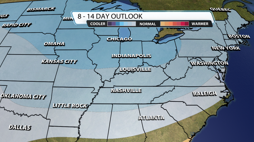
After these next two big rain events, our eyes turn to the chance for some Arctic air returning to the region. Right now, the Climate Prediction Center has placed most of Kentuckiana in a 40-50% chance for below average temperatures in the 8-14 day forecast. But there is good news! If we get a big push of cold air, it probably won't last long with the abnormally cold temperatures only hanging around for a day or two. Temperatures should return to normal quickly, just like what we experienced early last week.
