


We've had some ups and downs in these temperature trends recently, with temperatures sitting just a bit below the norm recently. But all of that will be changing soon for Kentuckiana residents.

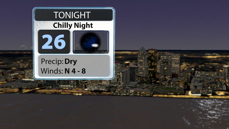
Tonight will be another chilly one with widespread low to middle 20s. Some frost will be possible Sunday morning, so give yourself a little extra time to scrape or defrost the windshield before heading out in the morning.

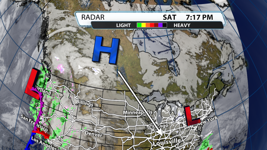
High pressure from Canada will dive into the Ohio River Valley on Sunday, so temperatures will stay cool with a northerly breeze until they shift Monday morning.

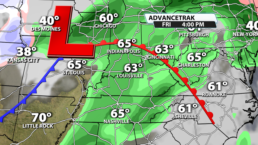
This wind shift will help bump up our temperatures drastically next week. Morning lows will still start in the upper 20s for many of us on Monday, but they will end up in the 50s by the end of the work week. Highs will top out in the 60s.

But a drastic increase in temperatures this time of year tends to come with a system that brings rain, and this is likely the case this week as well. Rain chances go up quite a bit on Thursday and Friday.
