


LOUISVILLE, Ky. (WDRB) -- Snow began falling steadily overnight in Kentuckiana, prompting numerous schools and businesses to close.
[CLICK HERE FOR SCHOOL AND BUSINESS CLOSINGS]
[CLICK HERE FOR DAY CARES AND OTHER BUSINESSES]
The storm let up early Monday morning, but snow is expected to return Monday afternoon and continue throughout the day and into the evening, with significant accumulations expected. A Winter Storm Warning remains in effect for all of our area until 1 PM Tuesday as rounds of snow move through.
Driving conditions in Kentucky and southern Indiana were hazardous early Monday, but conditions had improved by late morning.
However, road conditions are expected to worsen, and continue deteriorating before the Monday evening commute, when driving will become much more dangerous. Heavier snow will be falling, creating low visibility and very slick road conditions.
IMAGES | Snowfall blankets Kentuckiana on February 15, 2021
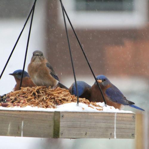
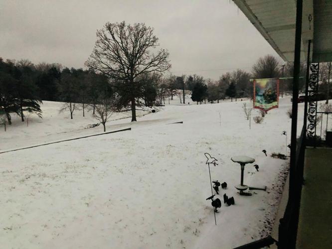
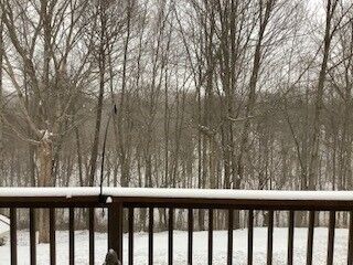
Bluebirds on a feeder coated in snow in Goshen, Ky., on Feb. 15, 2021.
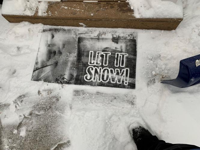
Mother Nature listened to this request printed on a door mat outside a Kentuckiana home.
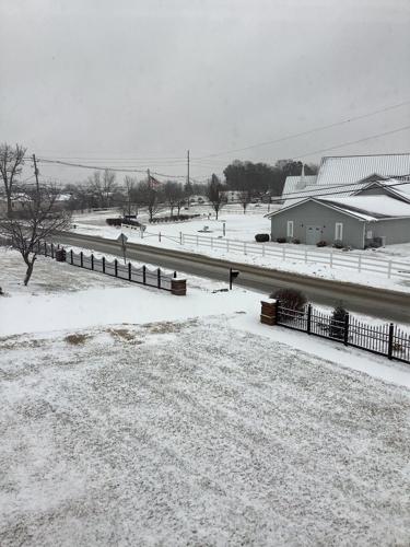
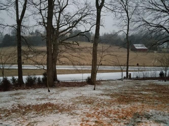
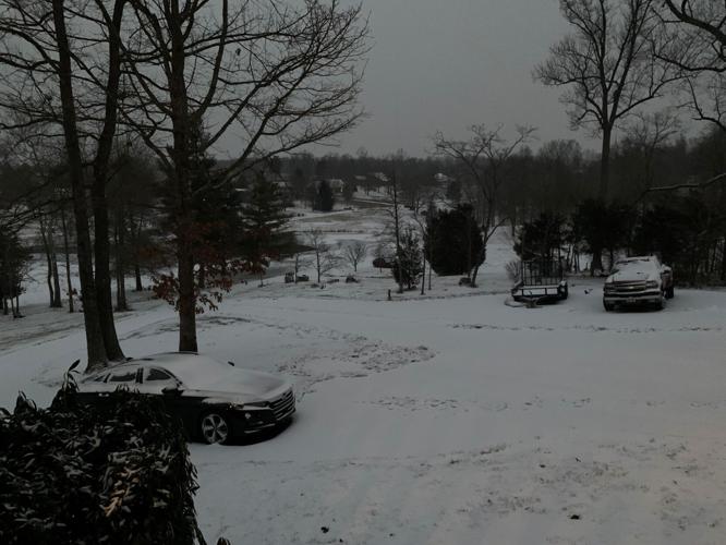
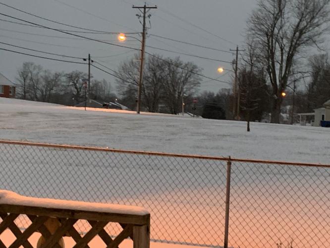
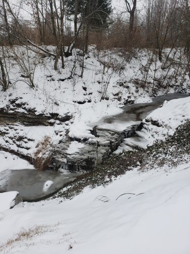
A snowy landscape in Fern Creek, Ky., off Billtown Road on Feb. 15, 2021.
A snowy landscape in Madison, Ind., on Feb. 15, 2021.
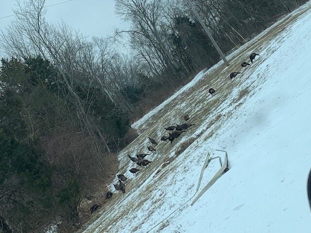
Turkeys in the snow at the Oldham-Trimble County line on Feb. 15, 2021.
Snow in Greensburg, Indiana, on Feb. 15, 2021.
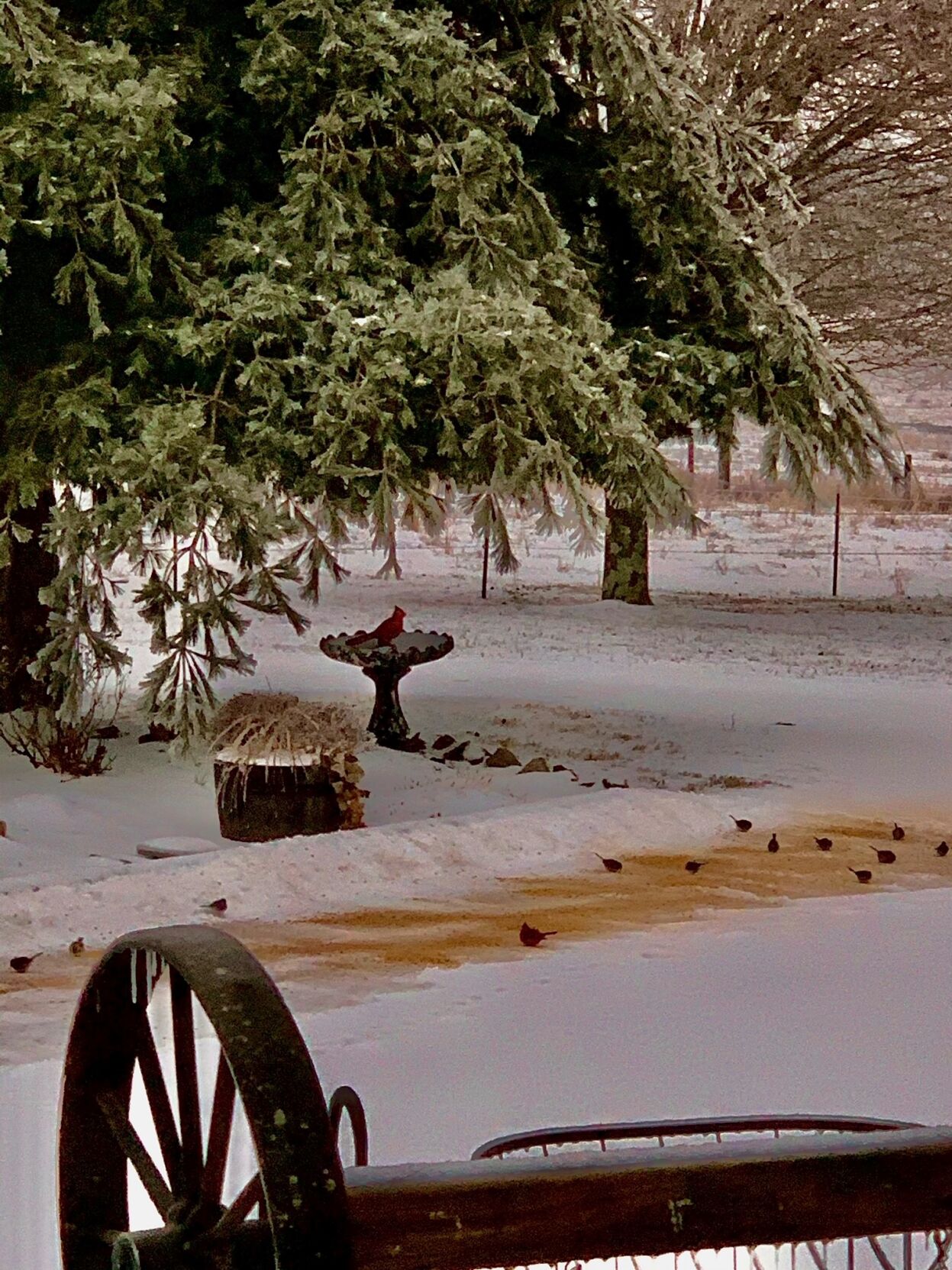
A red Cardinal on a snow-covered bird feeder on the Thompson Farm in Hodgenville, Ky., on Feb. 15, 2021.
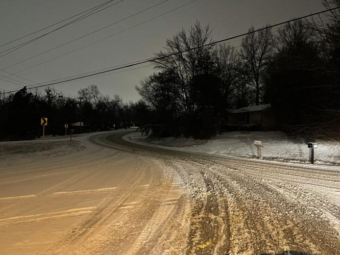
A snow-covered street in Taylorsville, Ky., on Feb. 15, 2021, after a winter storm moved through the area overnight.
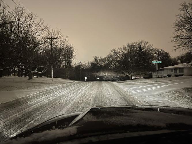
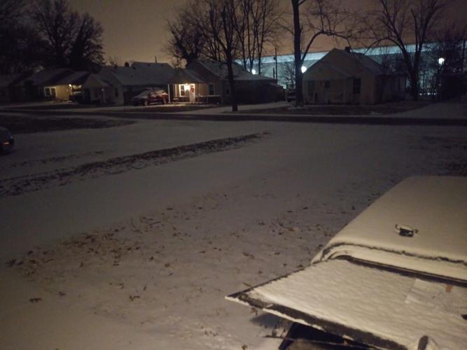
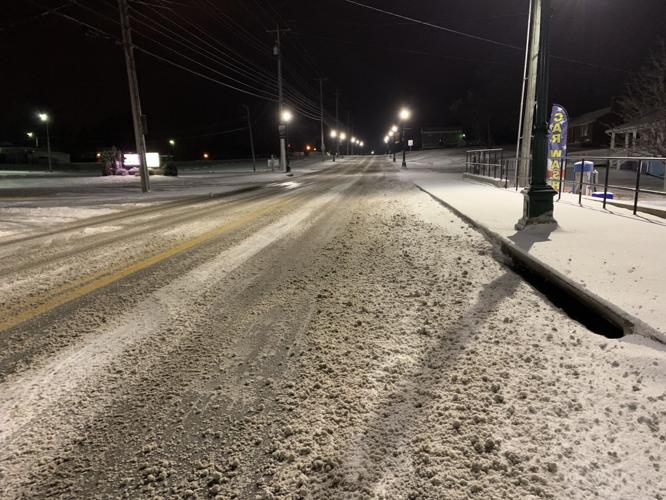
Snow covered streets at the top of Brooks Hill Road in Louisville, Ky., on Feb. 15, 2021.
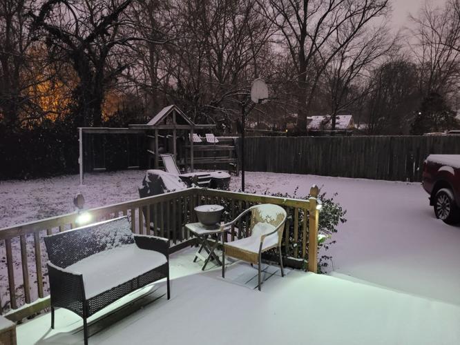
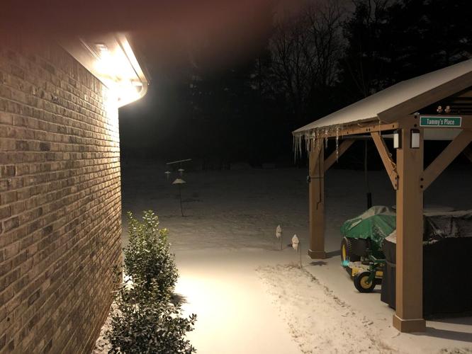
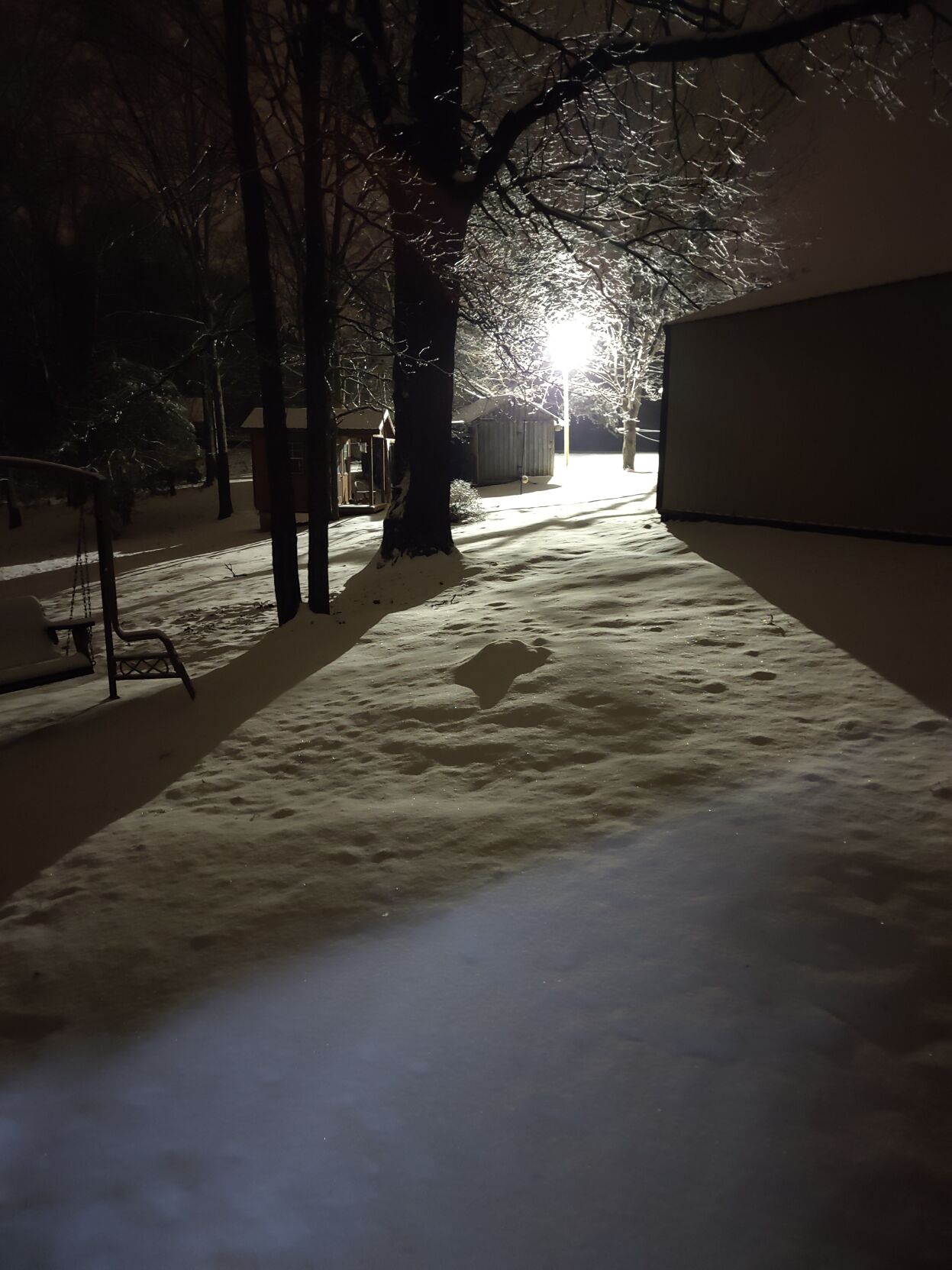
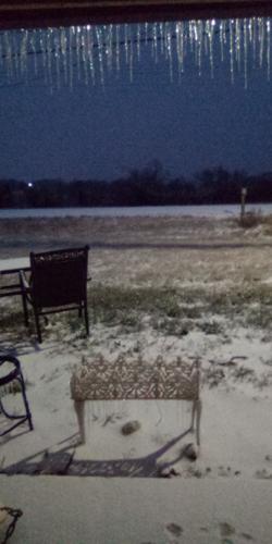
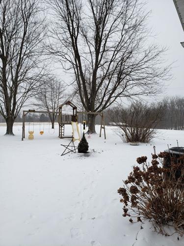
A snowy backyard scene in Lyndon, Ky., in the early morning hours of Feb. 15, 2021.
Snow covered street near Hikes Lane and Fegenbush Lane in Louisville, Ky., on Feb. 15, 2021.
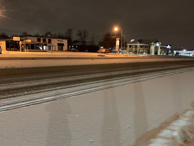
Snow on Produce Road near Federal Express in Louisville, Ky., on Feb. 15, 2021.

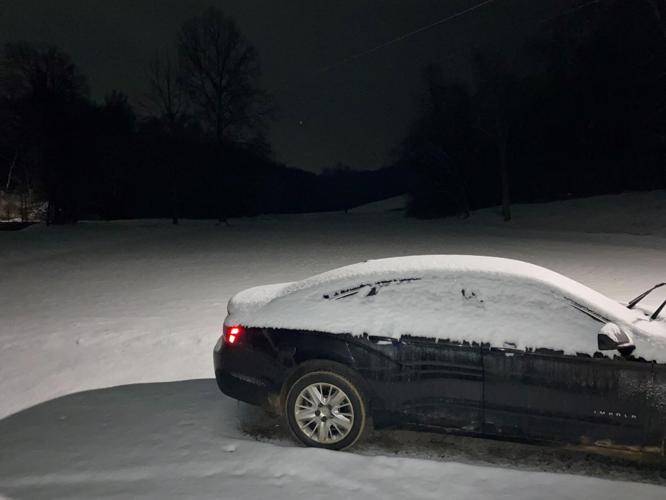
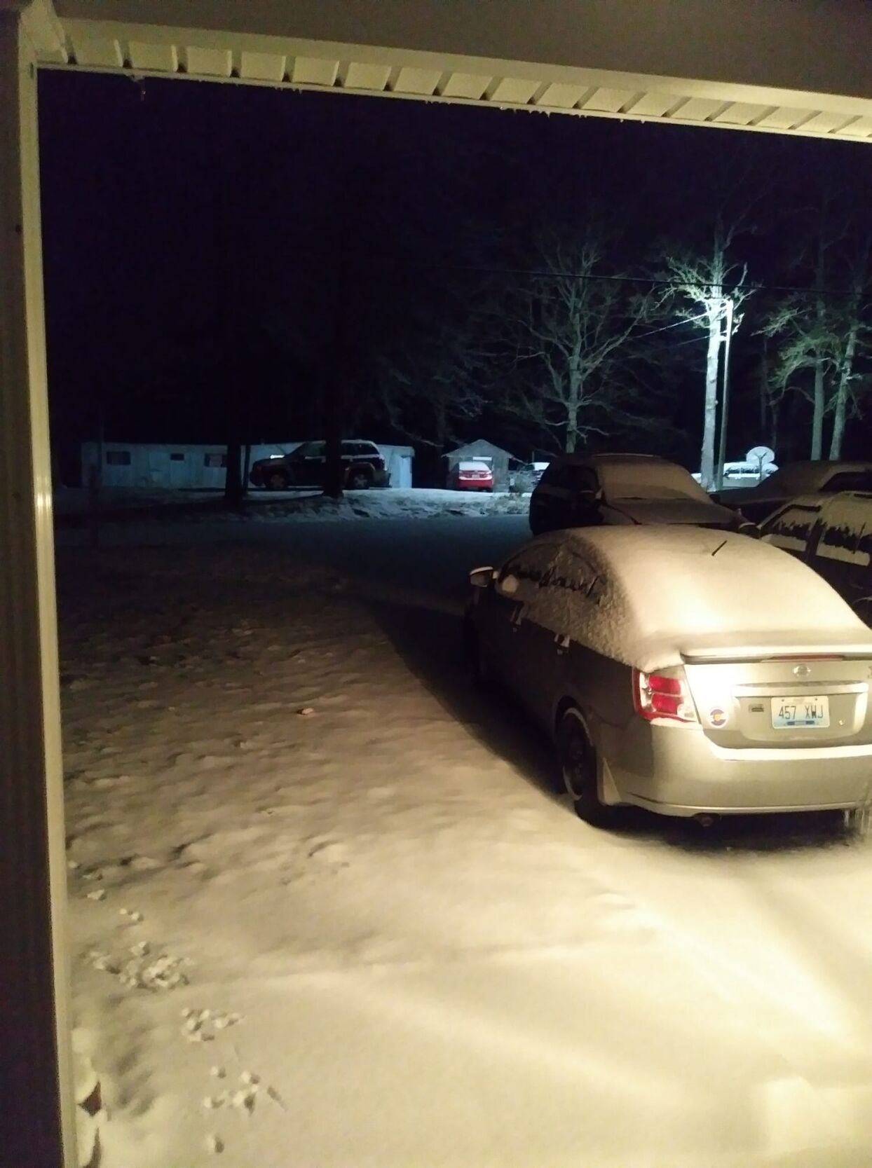
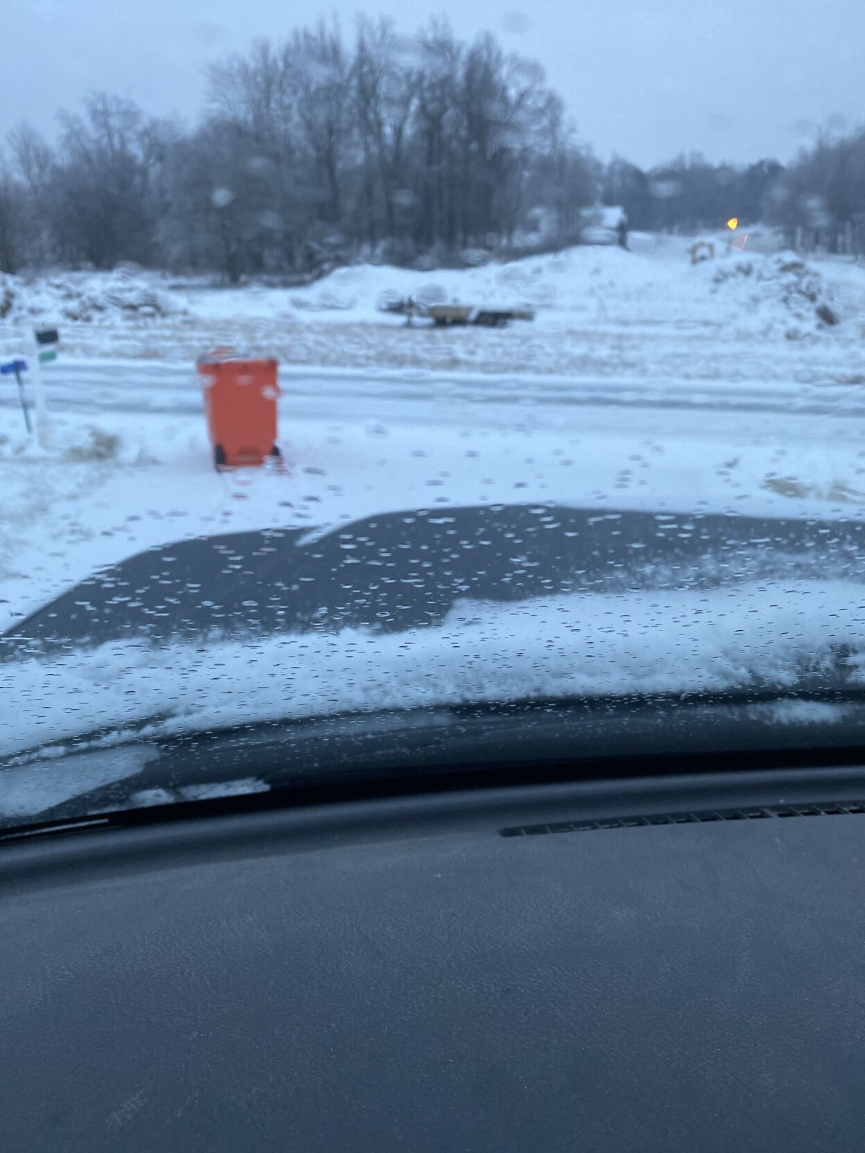
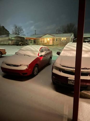
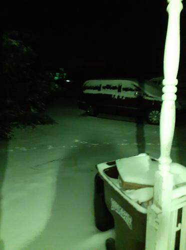
Snow covers a car in Clermont, Kentucky, in the early morning hours of Feb. 15, 2021, after a winter storm moved through the area overnight.
Snow outside a home in East Louisville near Barbour Manor overpass in the early morning hours of Feb. 15, 2021.
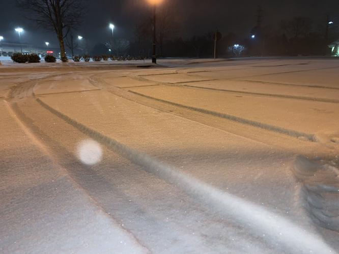
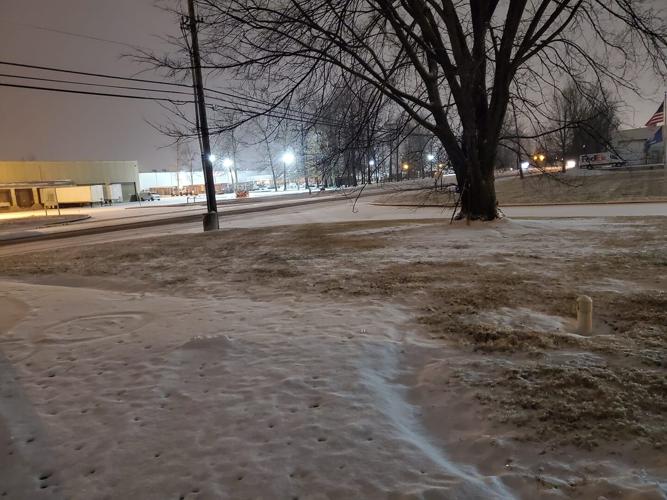
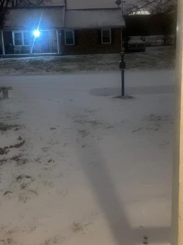
A parking lot covered with snow in Middletown in the early morning hours of Feb. 15, 2021.
Snow in Jeffersonville, Ind., on Feb. 15, 2021.
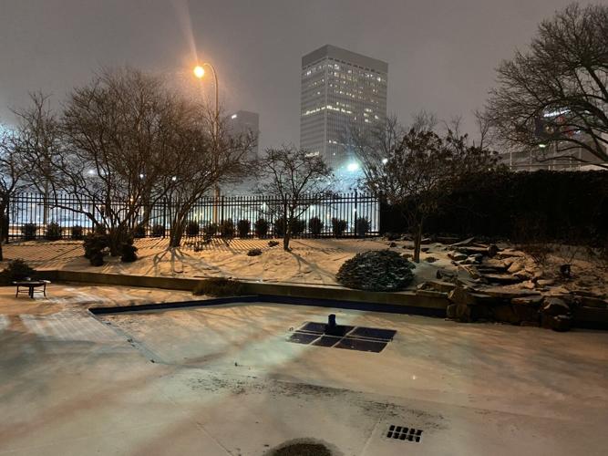
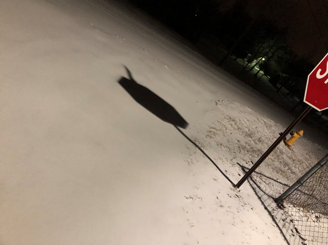
Snow in the WDRB Courtyard in downtown Louisville, Ky., on Feb. 15, 2021.
Snow covered street at Concord Hill Road near Fegenbush Lane on Feb. 15, 2021.
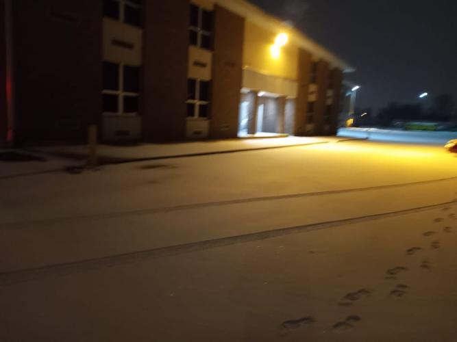
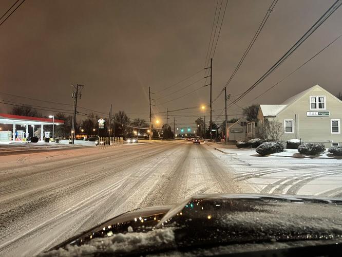
The main roads in Middletown were passable early Monday after steady snowfall overnight, but driving conditions were expected to deteriorate as more snow and sleet moves in Monday afternoon and evening.
Snow in Canaan, Indiana, on Feb. 15, 2021.
Snow in Greensburg, Ky., on Feb. 15, 2021.
Snow in a yard in New Albany on Feb. 15, 2021.
Snow outside a home in Pleasure Ridge Park on Feb. 15, 2021.
Snow in Vine Grove, Ky., on Feb. 15, 2021.
Snow on car in Clermont, Ky., on Feb. 15, 2021.
Snow on car in Vine Grove, Ky., on Feb. 15, 2021.
Snow on Hikes Lane and Fegenbush on Feb. 15, 2021.
Snow in Radcliff, Ky., in the early morning hours of Feb 15, 2021.
Snow outside a home in Clarksville, Indiana, on Feb. 15, 2021.
Snow and Ice in Breckinridge County, Ky., on Feb. 15, 2021.
Snow and freezing rain in Glendale, Ky., on Feb. 15, 2021.
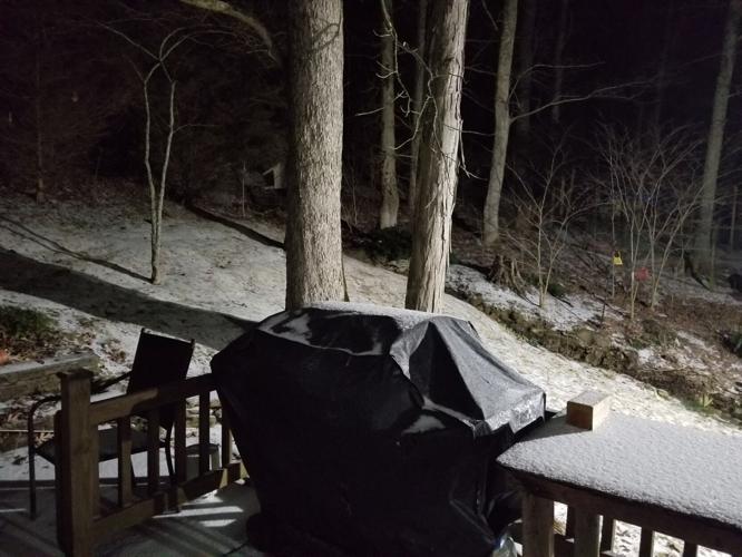
A snowy scene outside a home in Brooks, Ky., on Feb. 15, 2021.
Snow outside a home in Culverton, Ky., on Feb. 15, 2021.
Snow in Hardinsburg, Ky., on Feb. 15, 2021.
Snow in Highview, Ky., on Feb. 15, 2021.
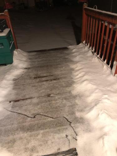
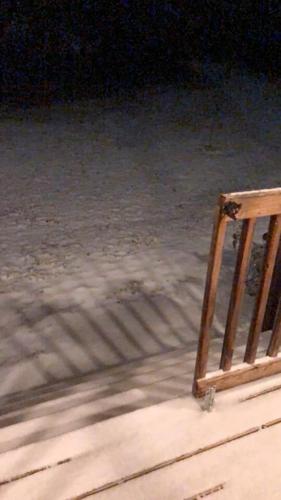
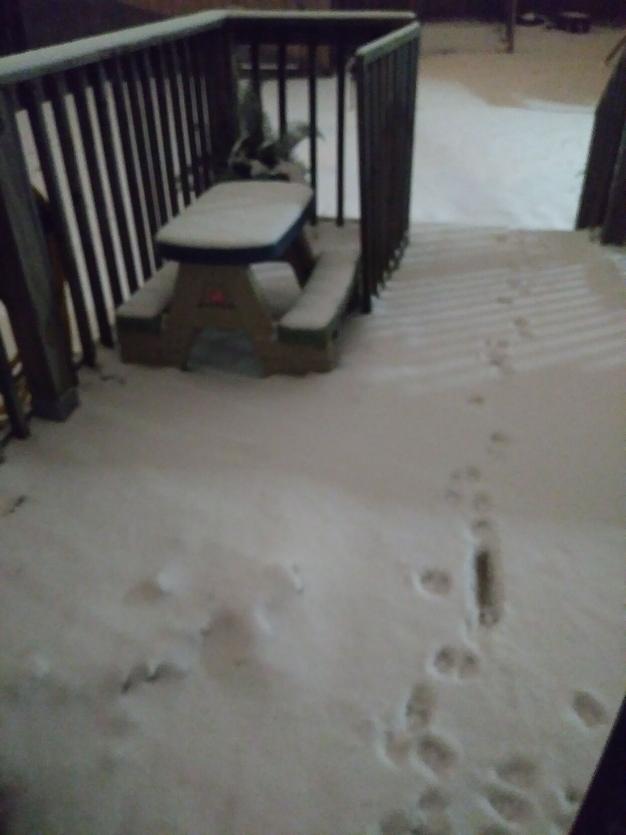
Snow on steps in Hodgenville, Ky., on Feb. 15, 2021.
Snow in Lanesville, Indiana, on Feb. 15, 2021.
Snow in Pleasureville, Ky., on Feb. 15, 2021.
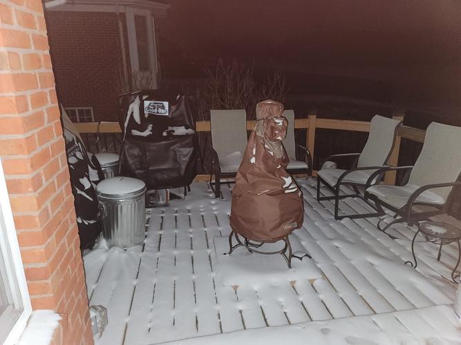
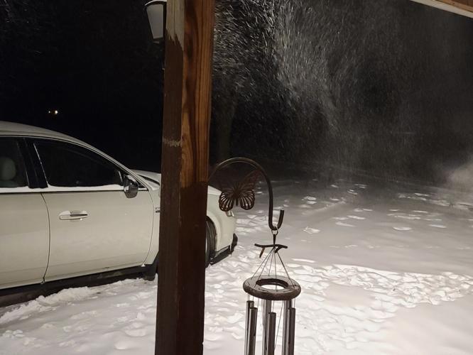
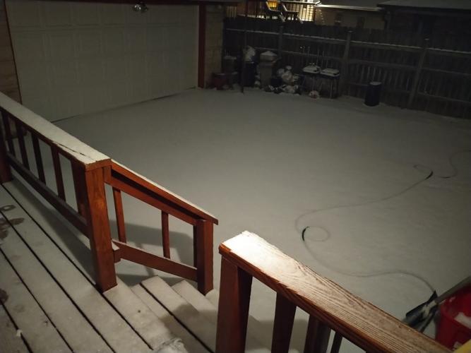
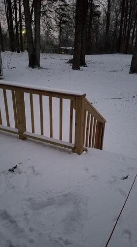
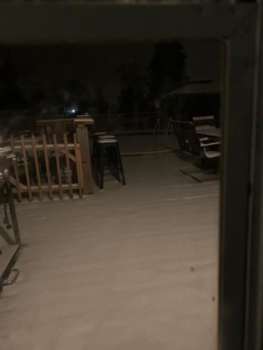
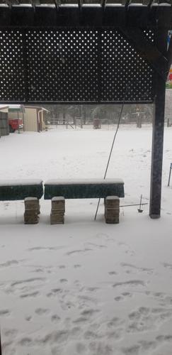
Snow on a deck outside a home in Sellersburg, Ind., on Feb. 15, 2021.
A snow-covered street in Simpsonville, Ky., on Feb. 15, 2021.
Snow outside a home in Taylorsville, Ky., on Feb. 15, 2021.
Snow outside a home near Churchill Downs in Louisville, Ky., on Feb. 15, 2021.
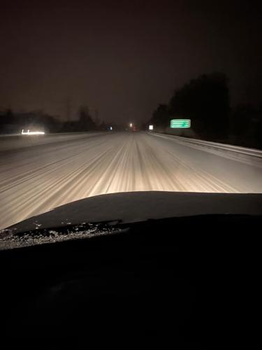
Snow covers Interstate 64E in Louisville, Ky., on Feb. 15, 2021.
Snow outside a home in Floyds Knobs, Ind., on Feb. 15, 2021.
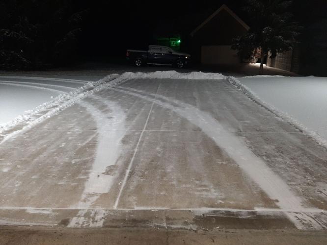
Snow-covered driveway in Elizabethtown, Ky., on Feb. 15, 2021.
Snow in Henryville, Ind., on Feb. 15, 2021.
A snow-covered landscape outside a home in Milton, Ky., on Feb. 15, 2021.
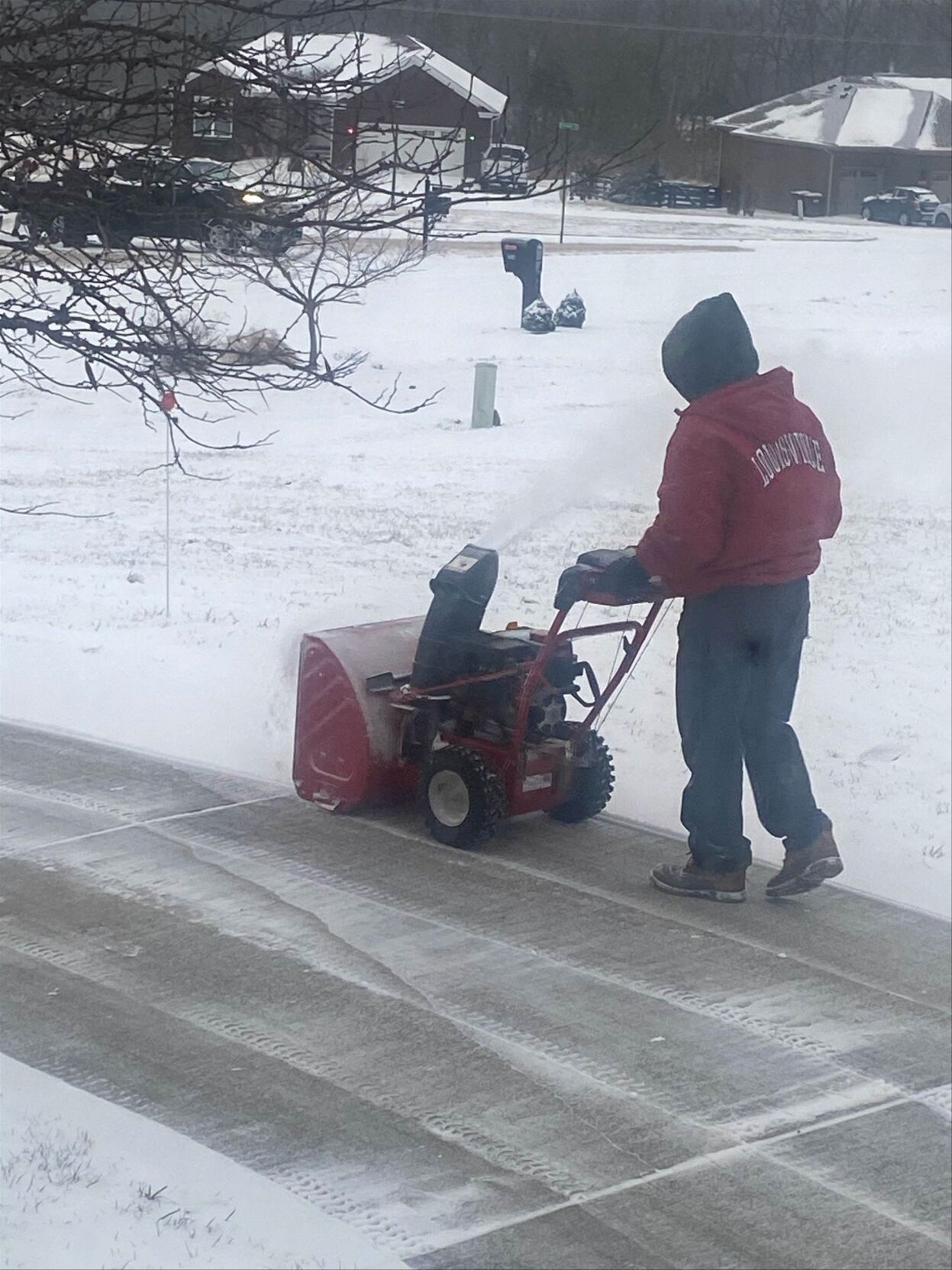
A man using a snow blower to clear a path in Elk Creek, Ky., on Feb. 15, 2021.
The fresh, heavy snow will impact the Tuesday morning commute as well. Through the day on Tuesday, road crews should have a good opportunity to get roads more clear. Temperatures will drop into the single digits by Wednesday morning, making salt less effective, so any water or snow still left on the road overnight could re-freeze again Wednesday morning.
Louisville Metro Government officials say approximately 3,000 tons of salt were used during last week’s snow event, and another 35,000 tons are in storage ready for use.
As the snowfall continues Monday afternoon and evening, power outages are possible due to snow and previous ice accumulations on trees and power lines. Very cold temperatures are expected next week.
City and state officials on both sides of the river have urged residents to remain home during the winter storm and to travel only when absolutely necessary.
CLICK HERE for updates on road conditions in the Metro Louisville area.
Copyright 2021 WDRB Media. All rights reserved.
