

Last night's storms were loud ones and caused damage and lots of flooding across parts of our area. Now, we're looking at another chance for rain and storms later tonight. Unfortunately, this does come with a severe risk for some, but not everyone like on Monday night.
The SPC currently has some of our southern counties in Kentucky under another "Slight" (2/5) risk for severe storms tonight. While Louisville isn't included in this, a rogue warning or two cannot be ruled out even north of that slight risk.
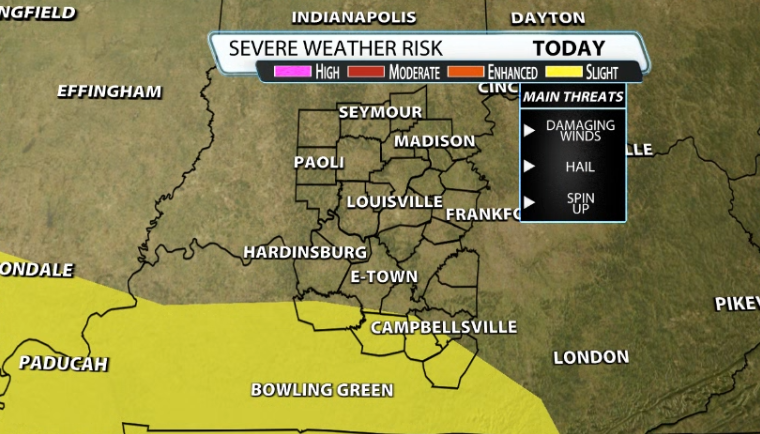
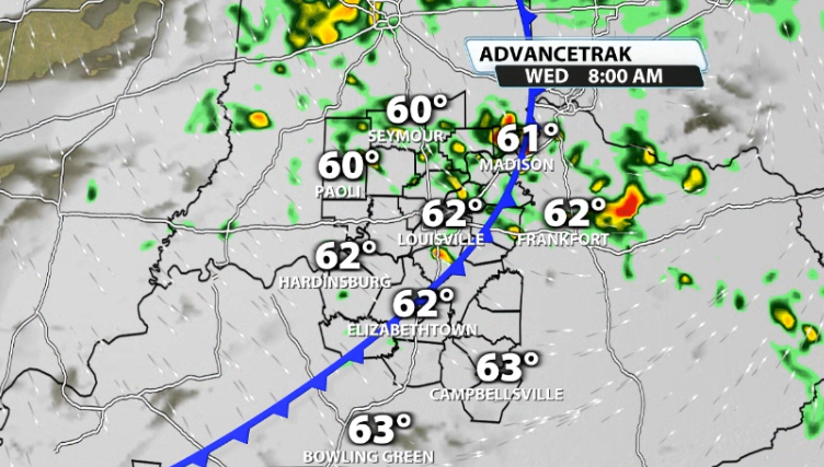
Storms hold off until after sunset for most. This time around, the severe potential window is pretty short. Our western counties in southern Kentucky (i.e: Grayson County) will see these roll in around 8-10PM tonight.
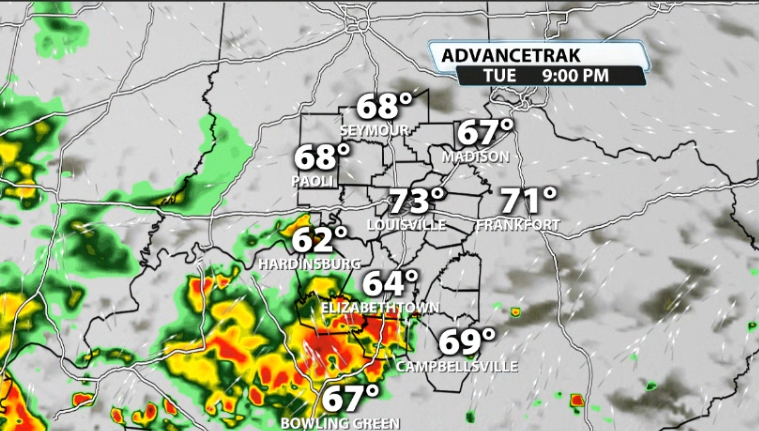
They continue to push further east, and some even coming a little further north as they wrap around the low pressure moving by, swinging rain and perhaps some storms into Louisville around 9PM-11PM.
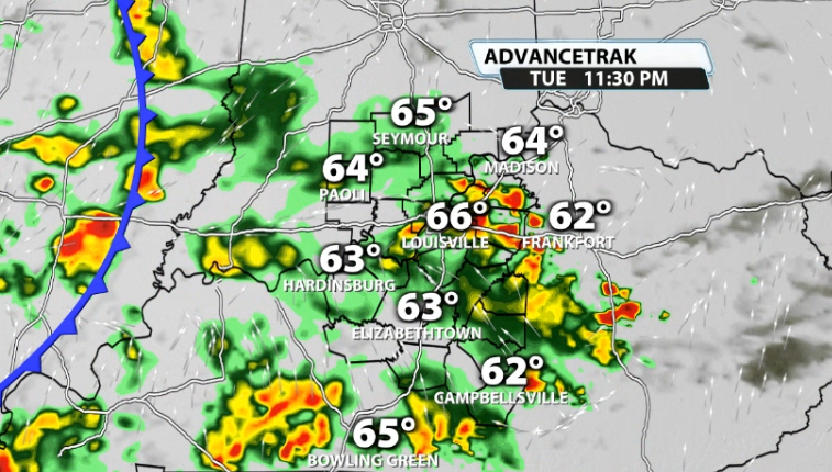
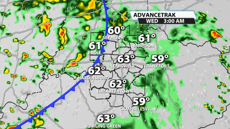
The main severe window should be over by around midnight, but the rain will not be over with. Lingering rain and storms continue almost all night long and perhaps through a good chunk of the morning for Wednesday as well.
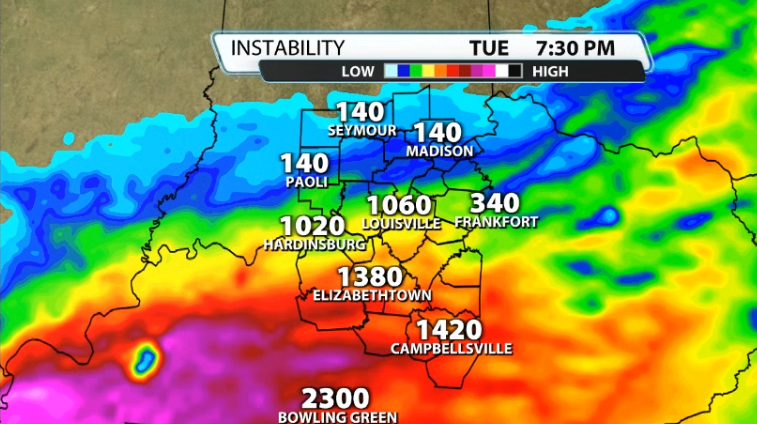
We know we need storm energy(instability) and wind shear to get organized severe weather. Data does show an ample amount of instability available for our area tonight for these storms to eat up on.
What is more lacking is the wind energy. Unlike last night, where at this level of the atmosphere (around a mile above the ground), there was 70mph winds, it's a lot lower this time. The threshold we look for is 40mph winds at this level and you can see that we are lacking in that department.
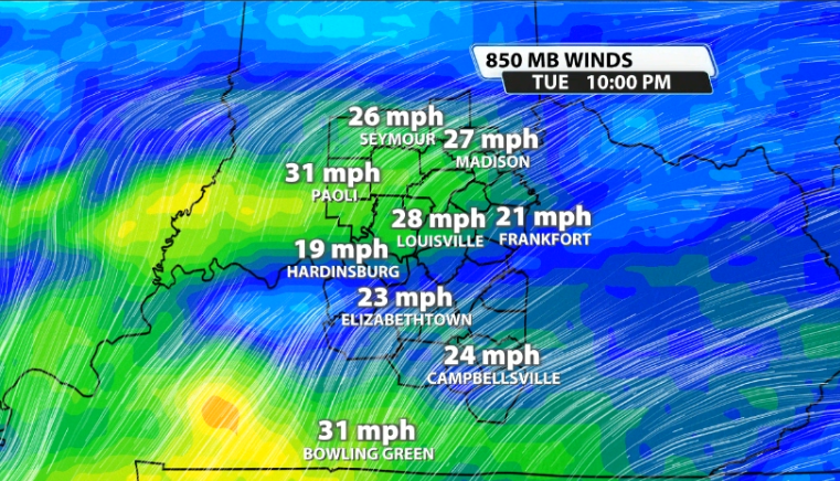
With a higher instability, lower wind energy set-up, you often get some severe storms, but not a ton of them. Any strong storms main threat would be damaging winds followed by large hail. A spin-up is not impossible, but not the highest concern with storms that go severe.


