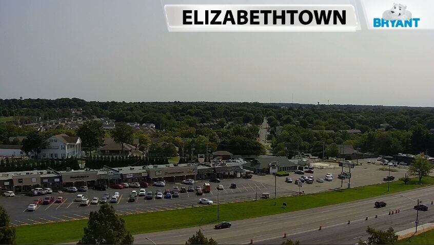
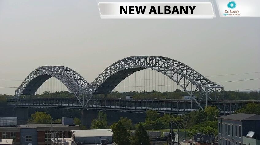
This morning the sky took on a hazy, almost milky tinge (see earlier views from our cameras below) that is turning slightly more orange-looking tonight.
Smoke from wildfires in the western United States is causing these strange views in our area, so let's talk about what's happening and how that's possible.
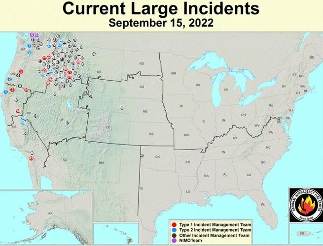
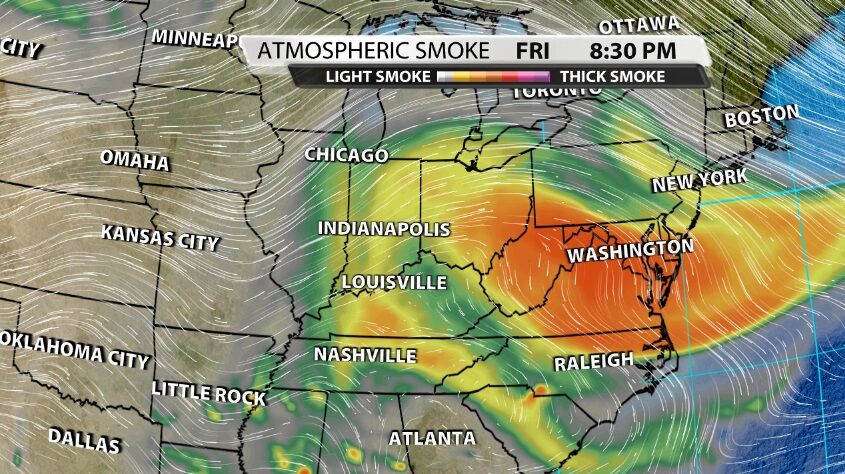
Most of the fires creating heavy smoke are in the northwestern U.S. right now with several others stretching south through California.

Because we have an area of high pressure near us, the wind at the jet stream level is moving in from the west and northwest. The smoke billows up directly from the fire into the atmosphere above it. Then the jet stream wind carries that smoke downstream to us. When the wind direction changes, it will carry the smoke somewhere else. Add to that the element of a nearby center of high pressure. Think about what those words mean - a high pressure center is an area where the air in the atmosphere is sinking, applying a higher amount of pressure to the surface of the Earth. Sinking air will trap more smoke in the atmosphere instead of rising air that would allow it to escape and move away faster.
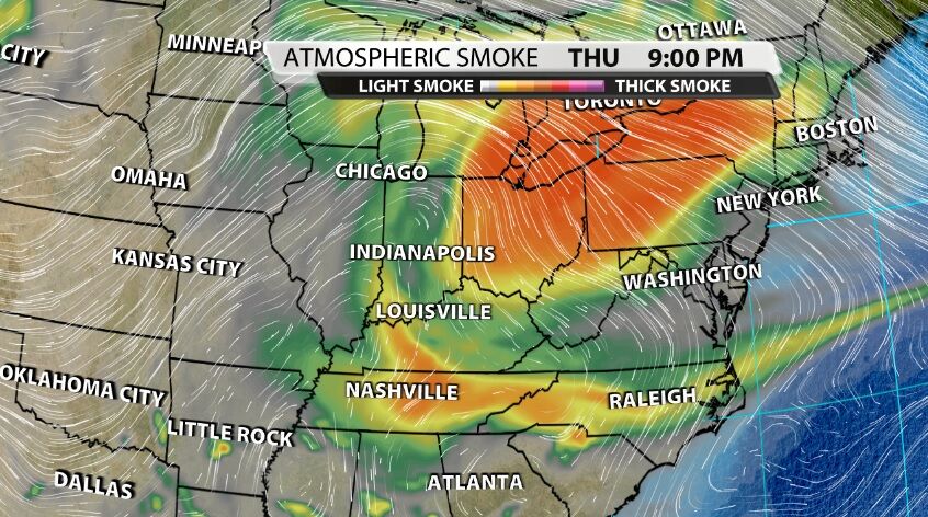
We won't see that high pressure center move far enough away or the wind change direction enough this weekend to get rid of the smoke. It looks like the wind changes direction enough Sunday to start to lower the concentration of smoke by Monday, but the pattern doesn't stay that way for very long. We may see smoke return to our area next week.
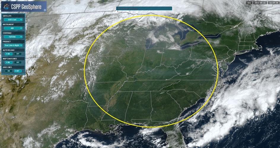
You can see that hazy, milky view even from the images taken by weather satellites orbiting the Earth in outer space.

It's important to note that the surface concentrations of smoke are incredibly low, meaning we are not seeing that down here at the ground or feeling adverse effects from poor air quality. That may become possible as the high pressure center builds, but at this point the smoke is in the sky above our heads by hundreds or thousands of feet.


