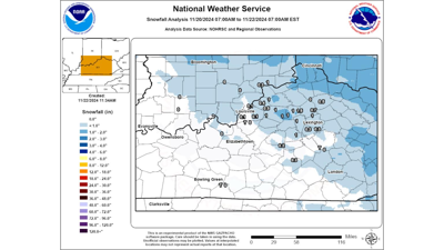


We had our first measurable snowfall of the 2024-2025 Winter Season! It may have been the perfect introduction to Winter with just enough snow to be pretty but not enough to cause serious problems on the roads. Any snow that did manage to stick to elevated surfaces or vegetation melted quite fast as most of our temperatures stayed above freezing overnight. Below is a map of the snowfall totals from the National Weather Service office in Louisville.

The heaviest snow fell right where we expected it: north and east of Louisville. Here are some pictures from around the area sent in by you, our loyal viewers!
Snow Pictures From 11/21/2024
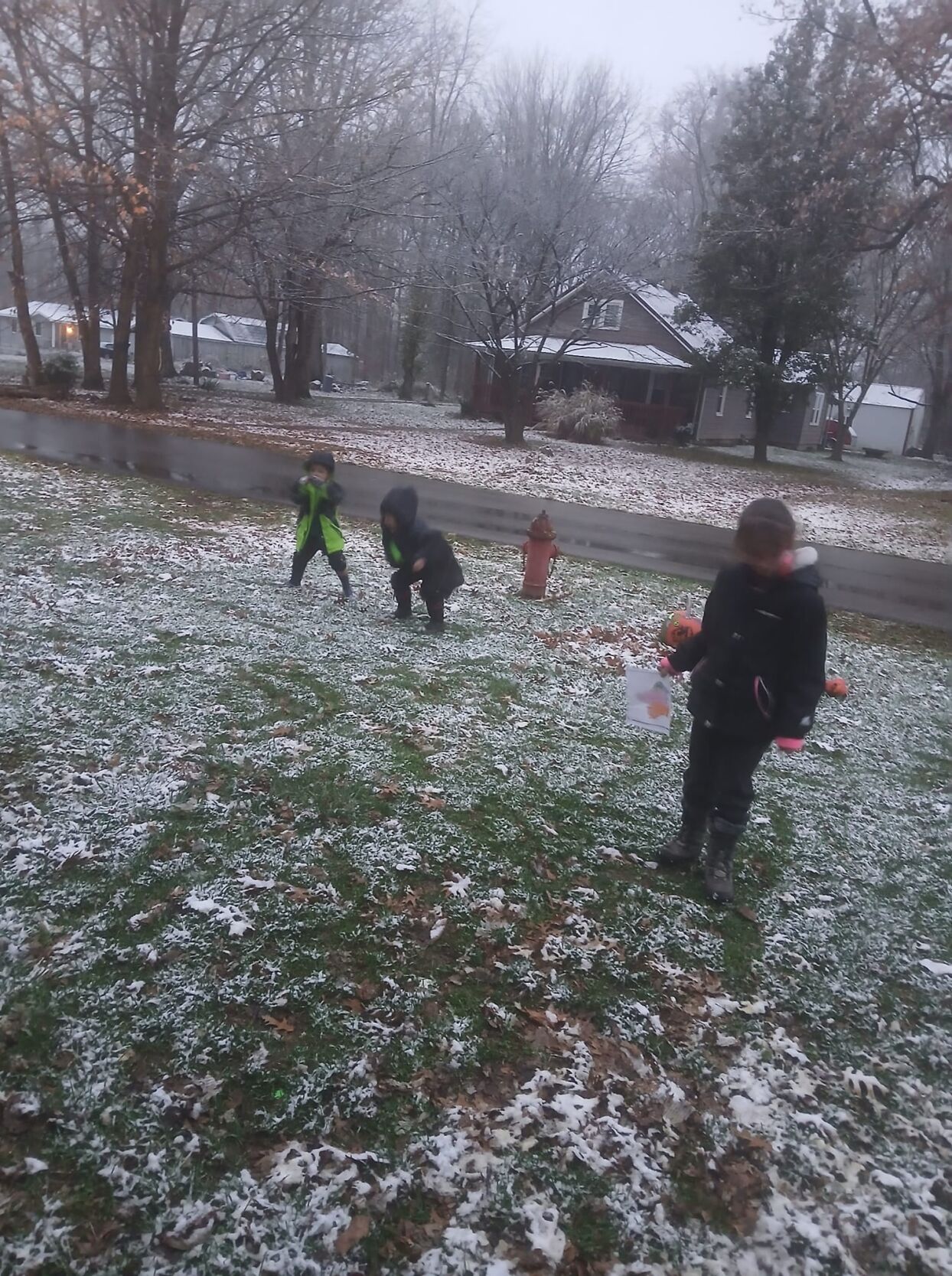
Kids in Austin, IN, made the most of the snow they got! Credit: Tanya Akers
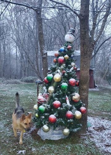
A little snow is just what this Christmas tree in Milltown, IN, needed as a final decoration! Credit: Brenda Robin
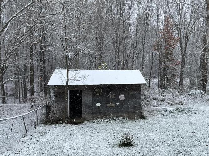
The most picturesque she-shed covered in snow in Jonesville, IN. Credit: Regina Phelps
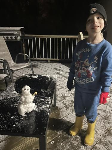
The first snowman we have seen this season!! Credit: Justice Kelty
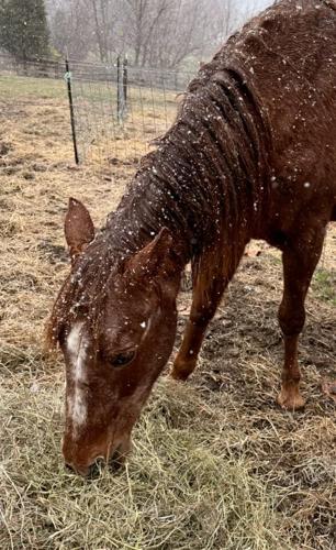
The snow didn't seem to bother this horse too much. Credit: Cathy Cress
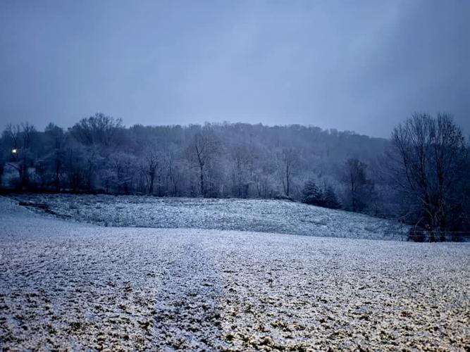
The hills are alive with a thin blanket of snow in Madison, IN. Credit: Sara Imel
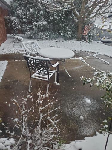
Roads and concrete were just a bit too warm for the snow to stick, but it covered the vegetation and outdoor furniture pretty well in Anderson, IN. Credit: Shawn Ward
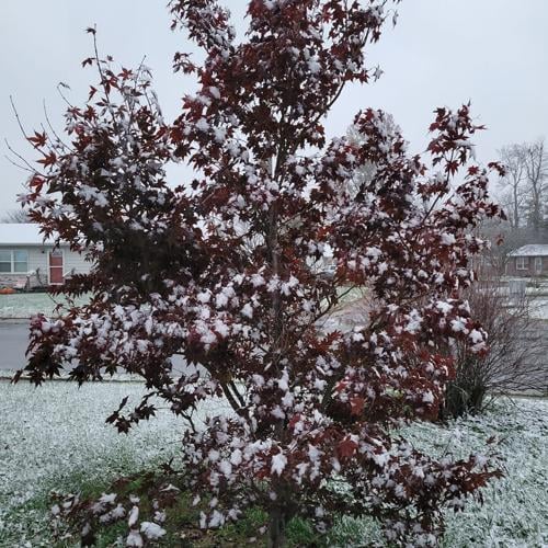
This Japanese Maple looks even more beautiful with a coating of snow on its leaves in Seymour, IN. Credit: Cheryl Jackson
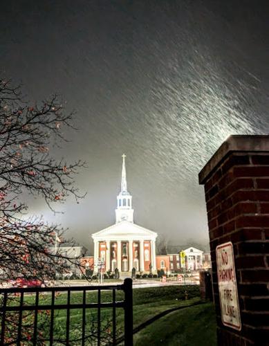
A burst of snow in Bardstown, KY! Credit: Theresa Hauser
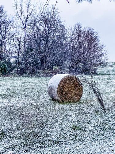
A lone hay bale trying to stay warm in Bethlehem, KY. Credit: Crystal Gayle Snow
We hope you had a chance to appreciate the beauty of yesterday's snow. There may be another chance to see flakes fly just in time for Thanksgiving, so keep checking back in to the latest WDRB forecast!


