
We held off the rain for most of the day Saturday, but now our stormy pattern begins. Sunday will bring more organized storm activity, and that pattern of rounds of storms will be with us through the middle of the upcoming week.
SUNDAY
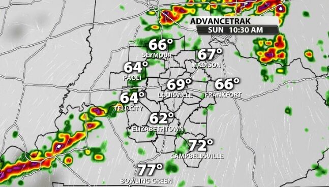
Sunday looks to bring an early round of storms through our area. The image above shows a best-case scenario, a broken line of storms. However, it's looking more likely that line won't be quite this broken, so plan on watching this roll through your area between 9 AM and 2 PM. The earlier side of that window is for our northern and western communities; the later side would be to the south and east.
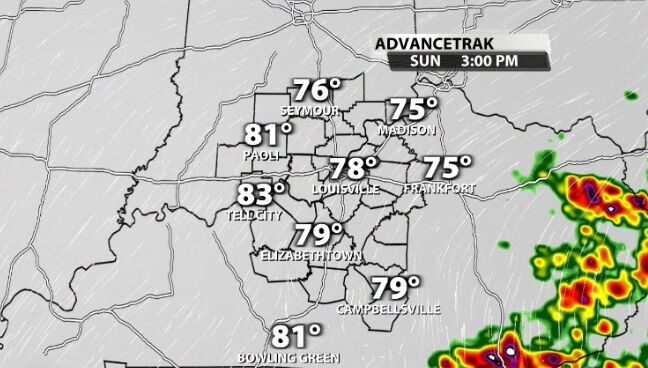
Depending how much sun we get (instability we can build), a few more storms may pop up during the afternoon. At this time, though, this morning line looks like the main show.
MONDAY
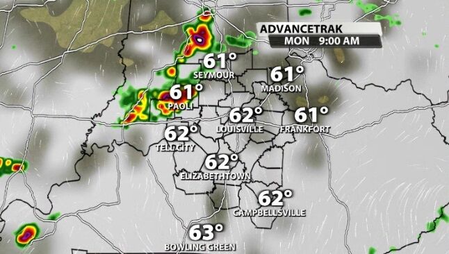
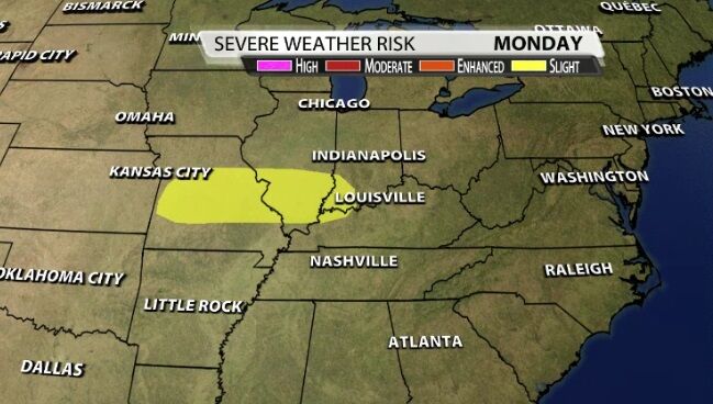
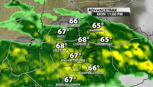
Monday starts similar with a broken line of storms moving through our area in the morning. These will be coming off a decaying complex of storms northwest of us, but stronger storms will be possible here later in the day. The Storm Prediction Center has issued a Level 2 (out of 5) risk of organized severe storms on Monday that comes right up to our western communities. This should tell you the storms will be stronger out west, weakening as they get to us, but could still be on the stronger side.
That stronger round looks to come through during the evening Monday, but the timing on each of these rounds depends on the one before it. We will continue to update the forecast as we get more data to help you see when each round of storms should arrive.
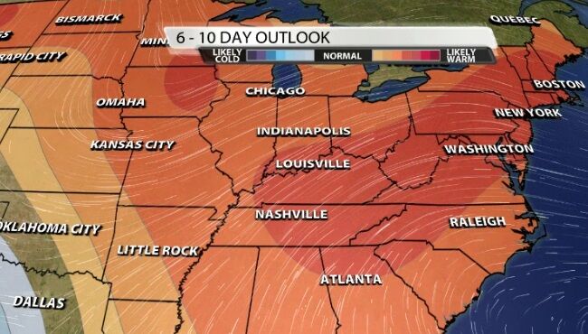
Beyond the storm threat in the next few days, we hang on to the summer-like temperatures. The Climate Prediction Center shows a high likelihood of temperatures staying above average a week from now. For perspective average high temperatures this time of year in our area are in the upper 70s.


