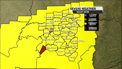

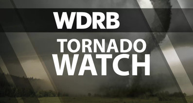
A tornado watch has been issued by the Storm Prediction Center for part of our area ahead of more remnants of what was Hurricane Beryl. Here's who's included in the tornado watch for Tuesday evening through midnight.
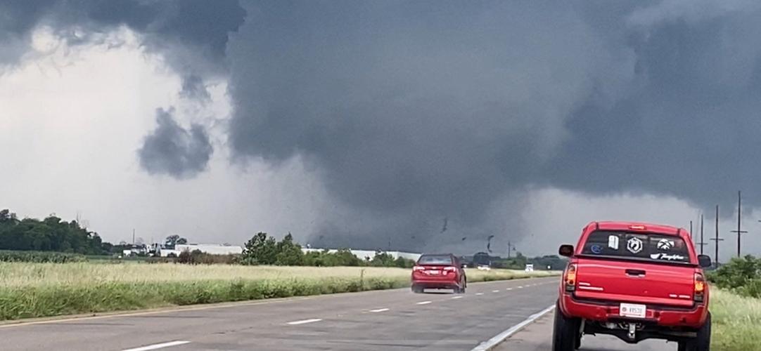
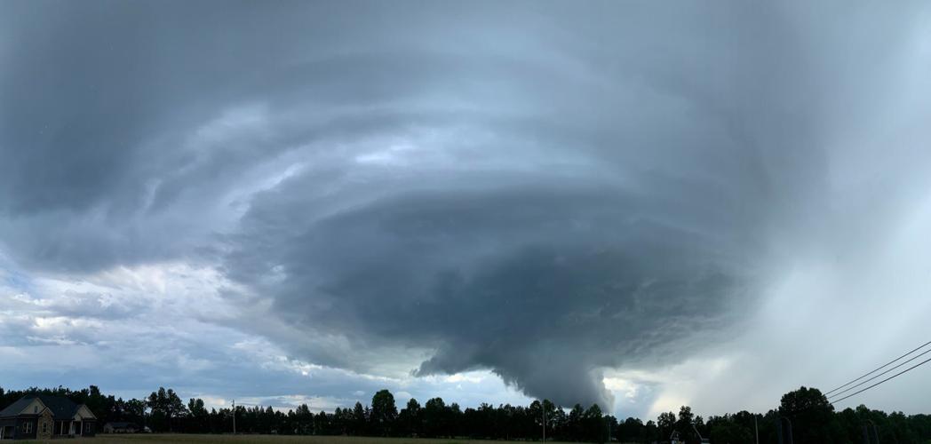
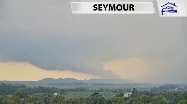
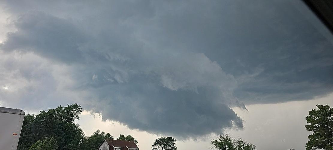
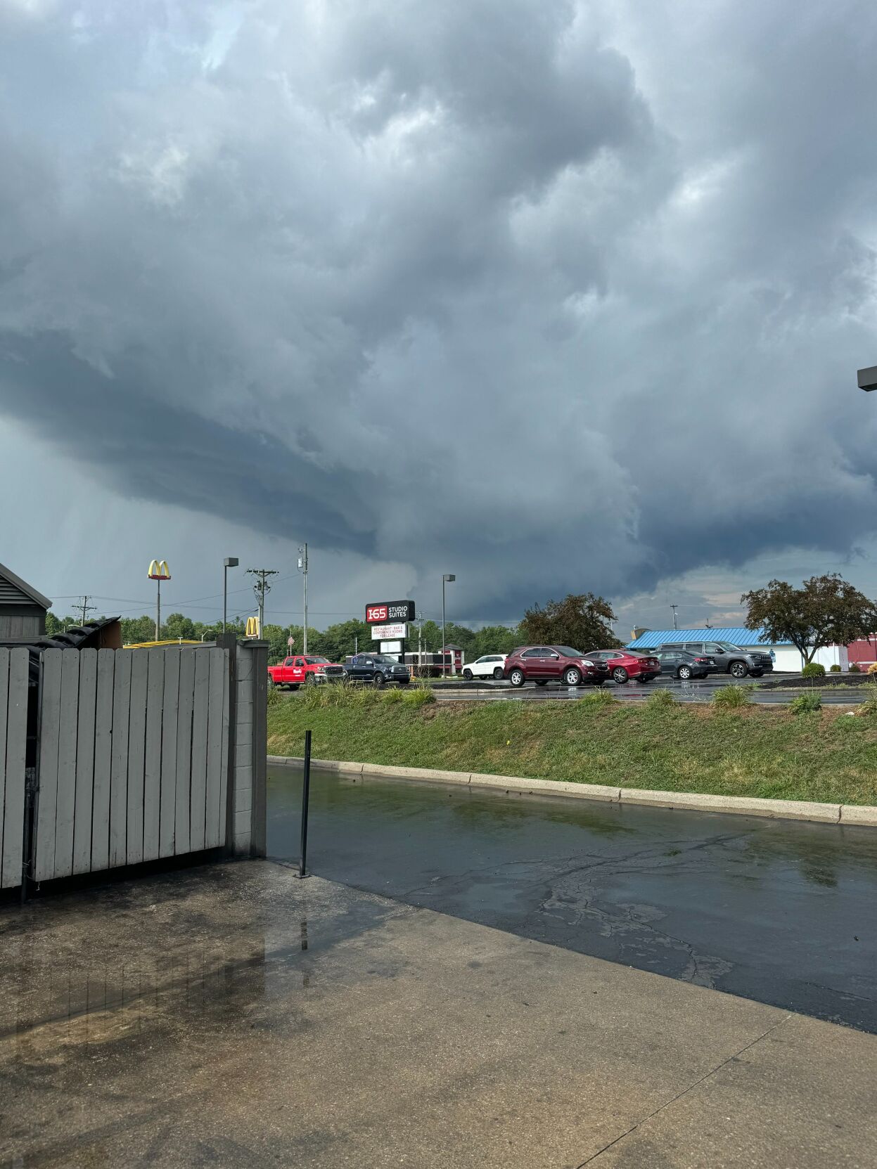
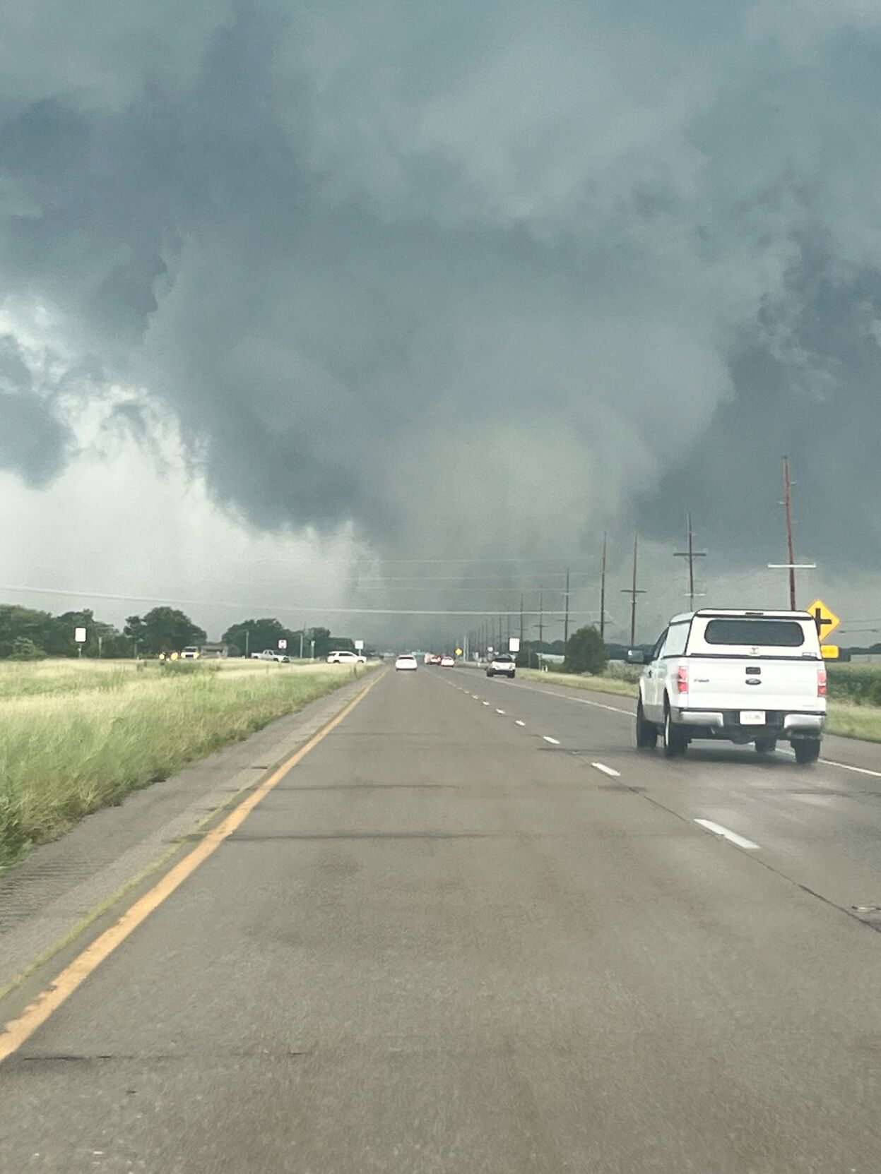
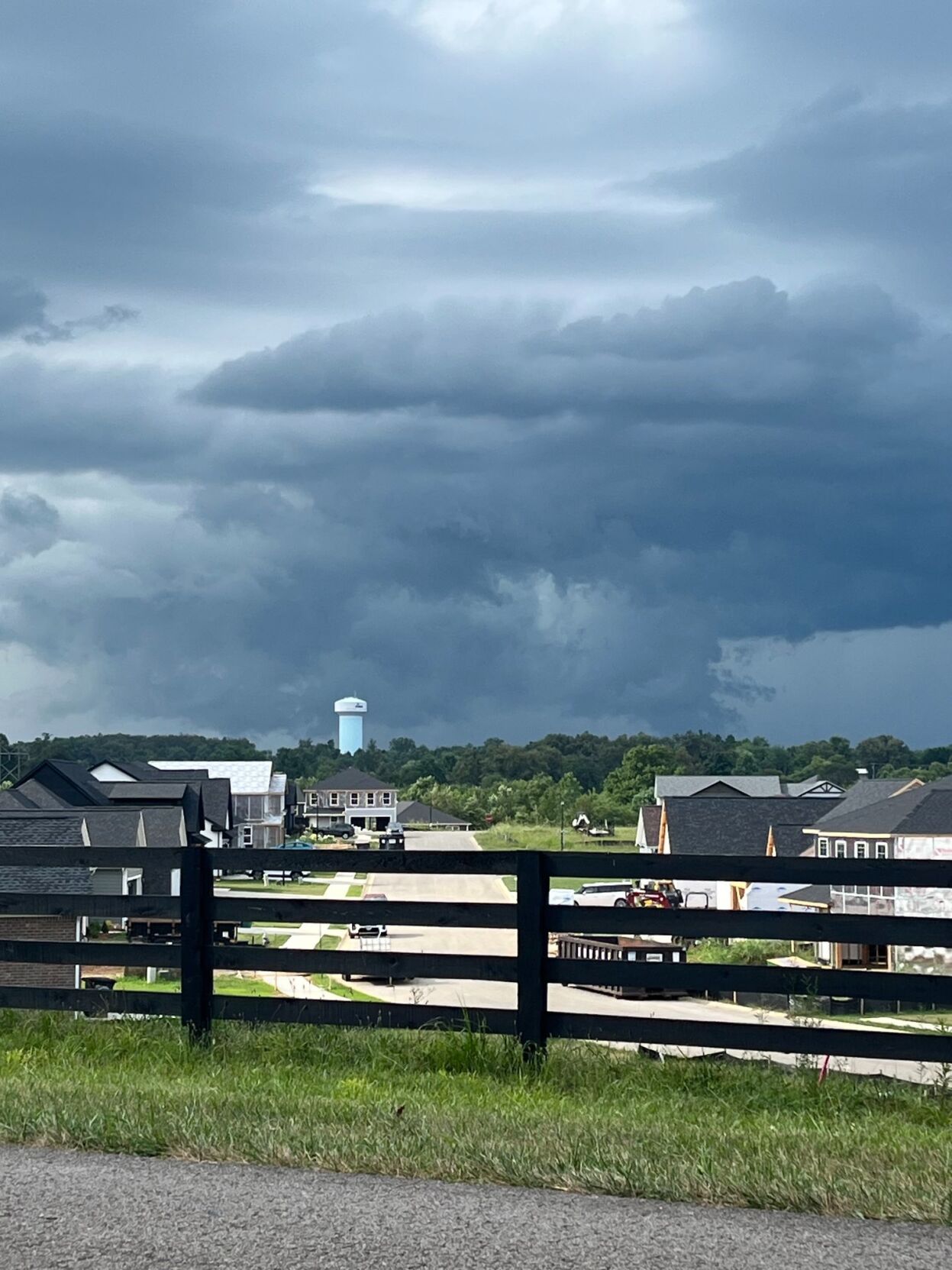
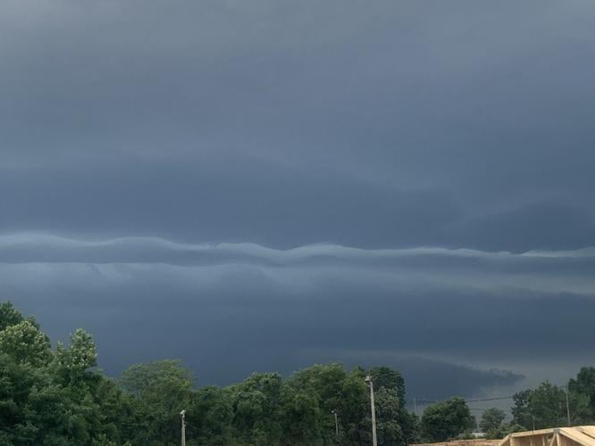
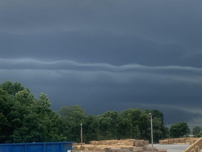
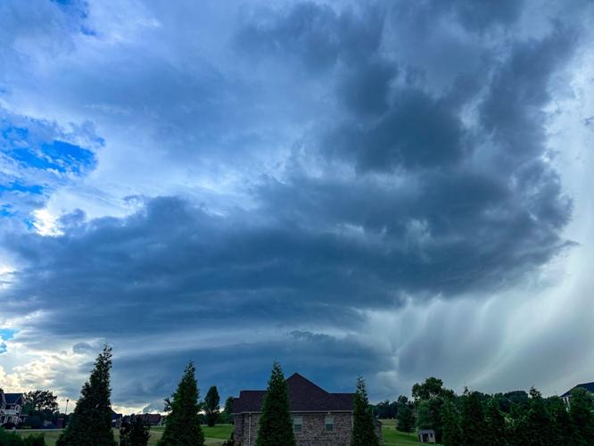
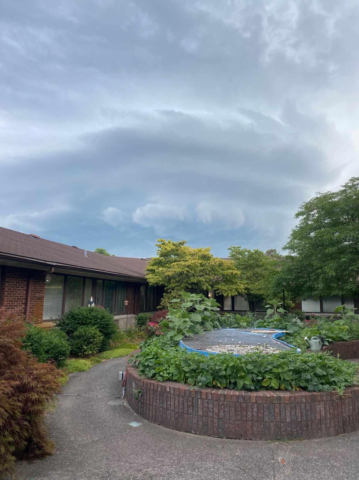
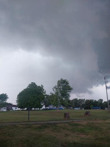
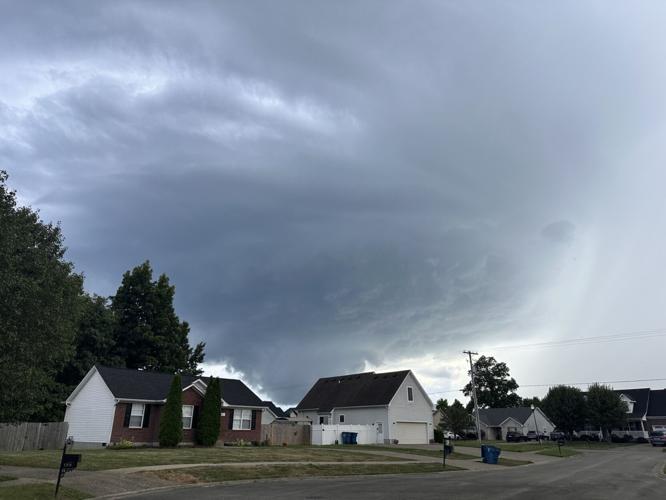
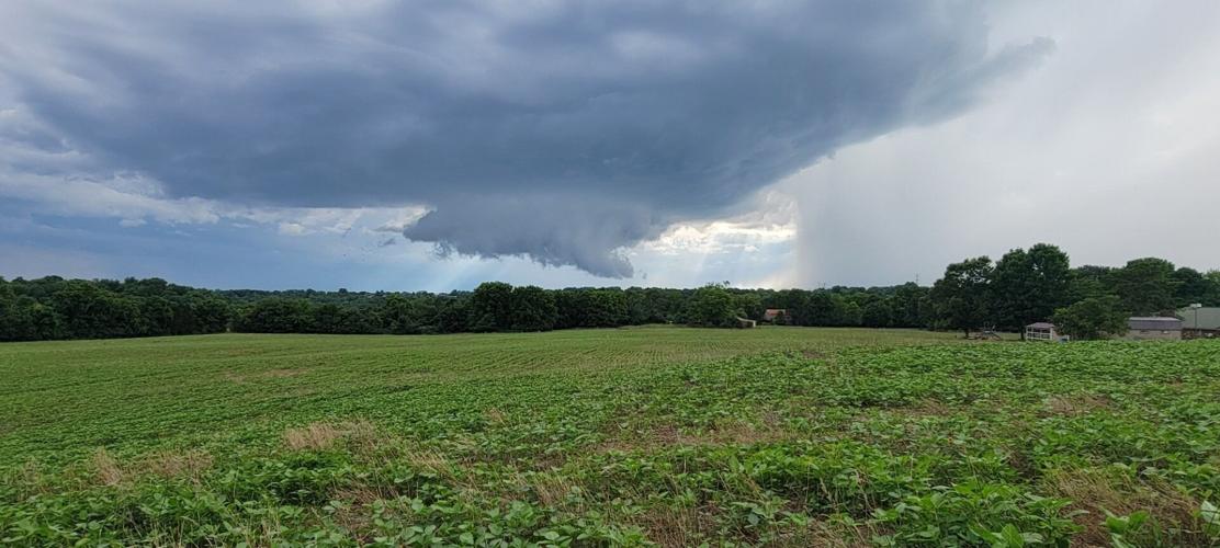
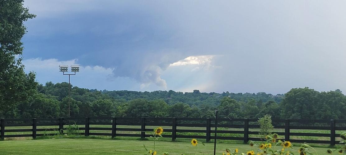
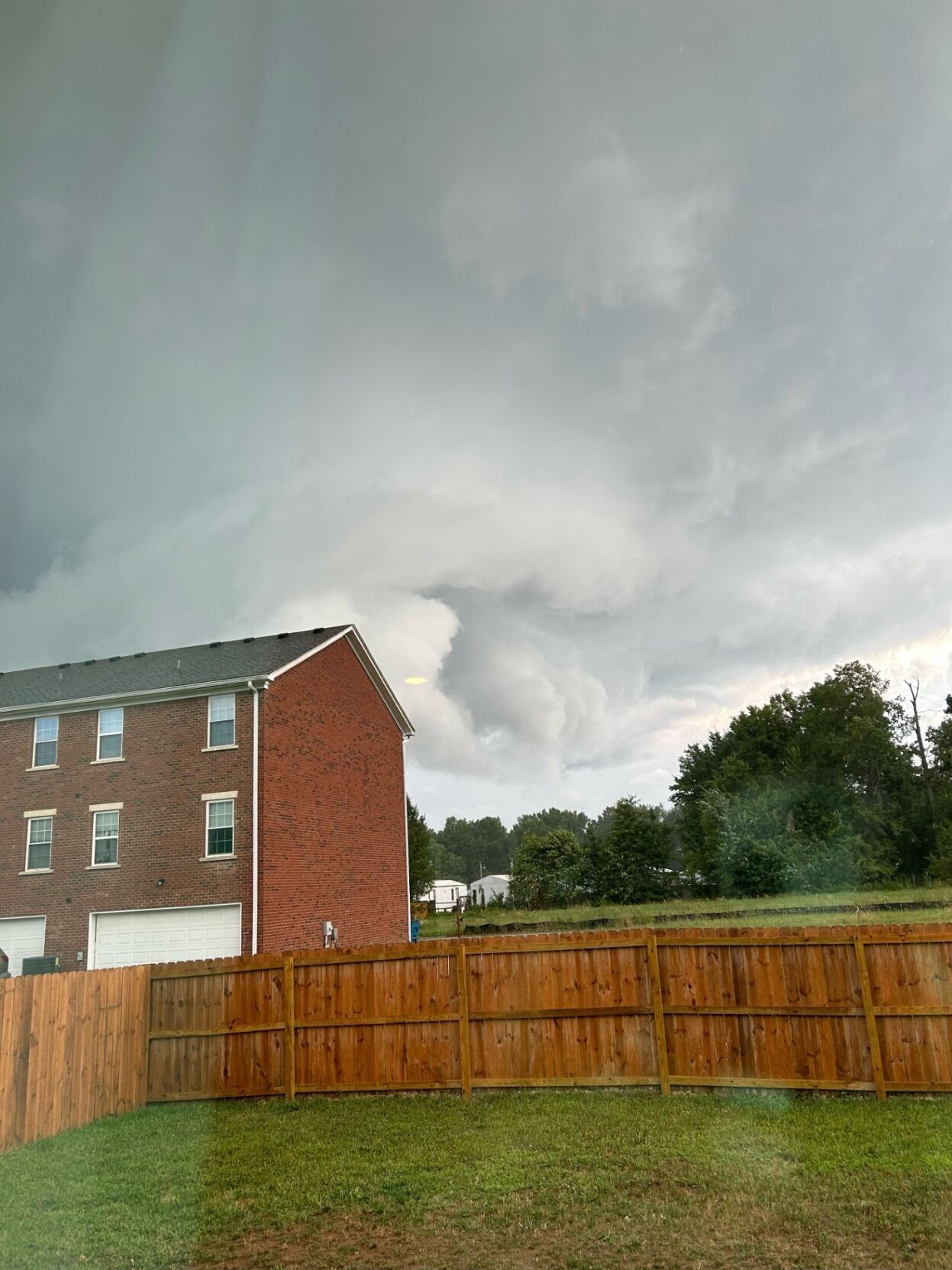
IMAGES | Severe weather moves through Kentuckiana on Tuesday evening
Here's more about the watch from the SPC:
* Tornado Watch for portions of
     Southern Illinois
     Southern Indiana
     Kentucky
     Southwest Ohio
     Middle Tennessee

   * Effective this Tuesday afternoon and evening from 205 PM until
     1100 PM CDT.

   * Primary threats include...
     Several tornadoes likely
     Isolated damaging wind gusts to 70 mph possible
SUMMARY...A very moist environment and the remnants of Beryl, and its strong low-level winds, will be favorable for rotating storms capable of tornadoes, and possibly localized wind damage. The tornado watch area is approximately along and 95 statute miles north and south of a line from 10 miles north northwest of Paducah KY to 15 miles east northeast of Lexington KY. For a complete depiction of the watch see the associated watch outline update (WOUS64 KWNS WOU6). PRECAUTIONARY/PREPAREDNESS ACTIONS... REMEMBER...A Tornado Watch means conditions are favorable for tornadoes and severe thunderstorms in and close to the watch area. Persons in these areas should be on the lookout for threatening weather conditions and listen for later statements and possible warnings.


