
A low pressure center will spin through our region Sunday trailing a cold front. That combo brings a couple rounds of rain and a chance for stronger storms in one of those rounds.

The Storm Prediction Center is only highlighting our southern communities in their Slight Risk of severe storms. That's level 2 out of 5, the lowest level we show to you. They issued that for part of our area due to the risk of strong wind gusts and hail if storms are able to strengthen in the afternoon, but that's a conditional threat, meaning not guaranteed to happen.
TIMING
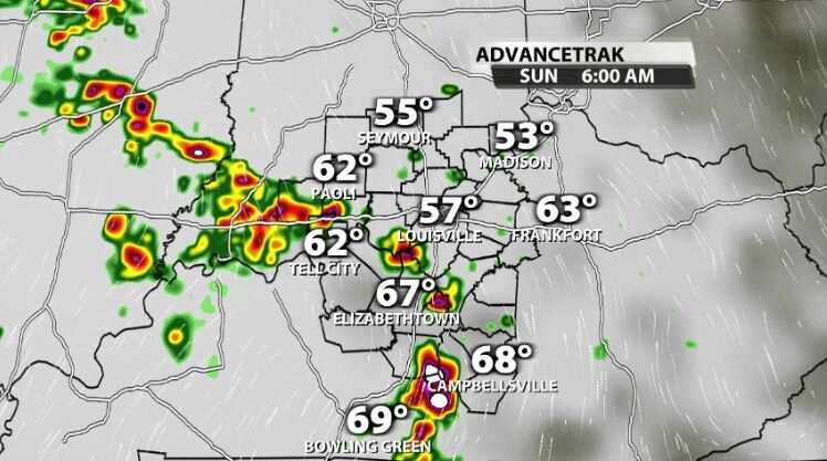
A round of storms will move through first thing in the morning; likely 5 AM - 9 AM. These will be weaker storms with a very low severe storm threat, but they can drop some heavy rain and you may hear a few rumbles of thunder.

After those storms move east out of our area, we get a bit of a break during the afternoon. What happens during this break will determine how strong the evening round of storms will be. If the sun comes out and we stay dry for several hours, that would help destabilize the atmosphere and create an environment for stronger storms. If we stay cloudy, cool, and don't get much of a break from the rain, that storm threat drops a bit.

The next round will start to flare up around 4 PM. This is where strong wind gusts and hail will be possible in addition to the heavy bursts of rain and thunder and lightning.


Those storms move from west to east (generally) and should leave our area after midnight.

For some of you, this will be exactly what you need! If you get rain both in the morning and the evening rounds, 1"-2" will be possible. However, given the scattered nature of these storms, not everyone is guaranteed to get that good rain. Some of you may only see tenths of an inch.

Those smaller amounts won't help eat into the drought developing in our communities, but the larger totals will. With Moderate Drought setting up in our eastern communities, that's where we need to see the heaviest rain.

Tune into WDRB News tonight at 10 to see the updated data on these storms.


