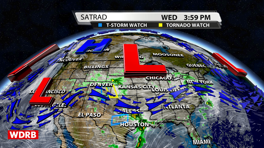


We've had some dreary days around these parts, and that pattern won't change until this weekend. The upper level low to our north will hang around for another few days and bring additional rain chances to the region.

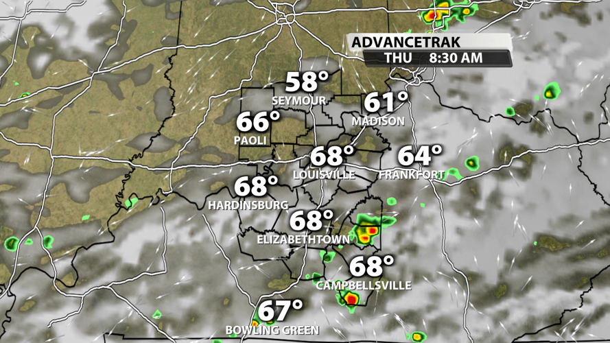
Rain chances are quite low on Thursday with primarily pop-up showers in the morning. Much of the afternoon and evening will be dry; however, the overnight hours will be a different story.

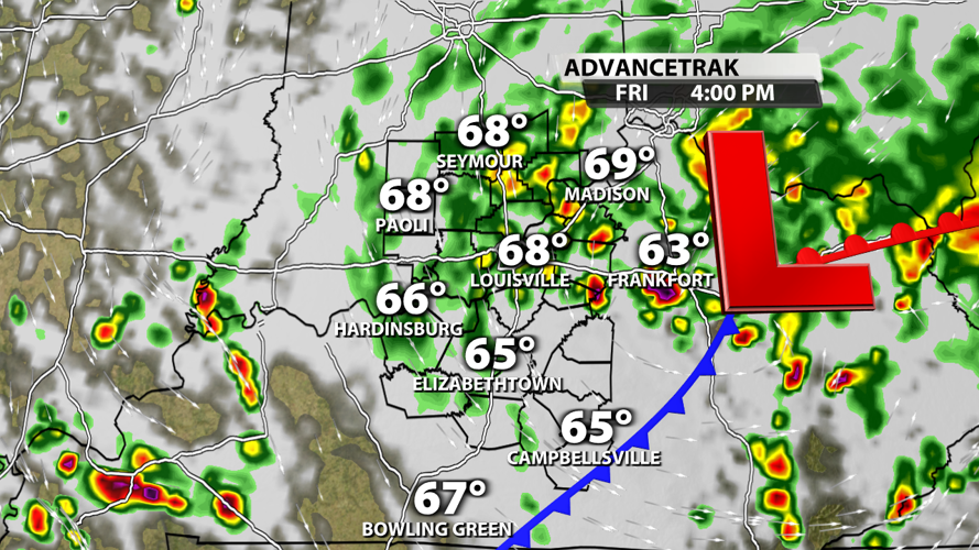
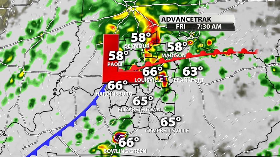
A surface low should move directly across the Kentuckiana region with high chances for rain Thursday night and Friday morning. Rainfall totals will start stacking up at this point. Strong storms may be possible in the morning.

The low will hang around for much of Friday, so expect more showers and some storms in the afternoon and evening.

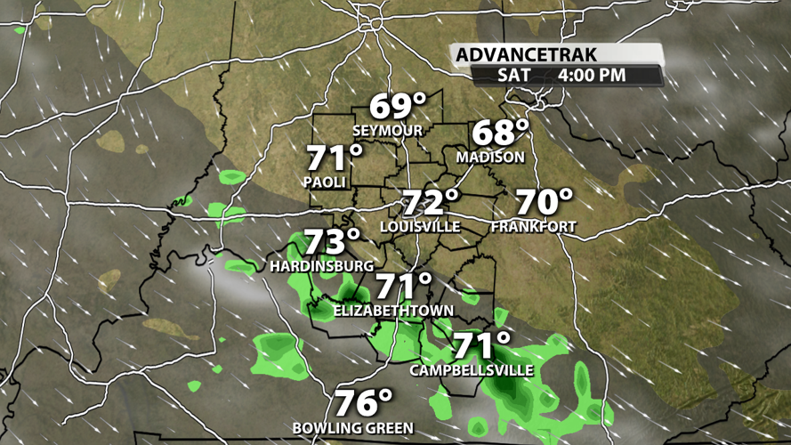
Rain may linger on the backside of the system Saturday, but it will definitely be a drier first half of the weekend compared to how we end the work week.

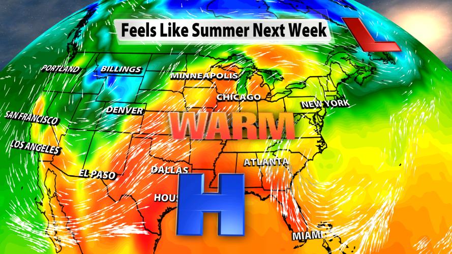
We'll dry out Sunday and bring in some heat early next week with summer-like temperatures and sunshine as a ridge of high pressure builds and rolls across much of the US.


