
We've seen plenty of snow this season, but why stop now? We'll bring in at least a couple more snow chances for the first half of this next work week.

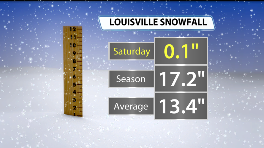
Our snow totals vary widely across the region, but Louisville has already seen more than our average in a winter season by almost 4 inches.

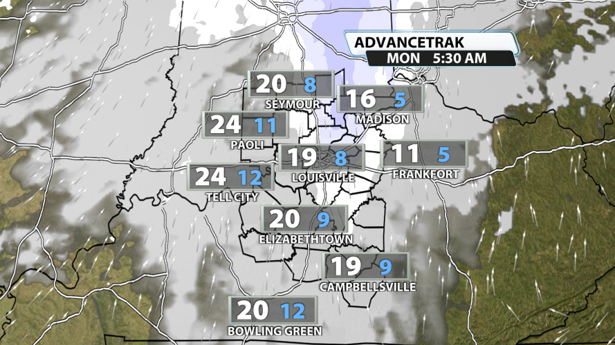
After midnight tonight, we'll have some flurries that could lead to a brief dusting in mainly along and north of I-64. Some of this lingers into the morning commute, but travel impacts are not currently expected. Scattered flurries are possible in the afternoon and evening, but they won't amount to much. Temperatures will climb above freezing across most if not all of the area Monday afternoon.

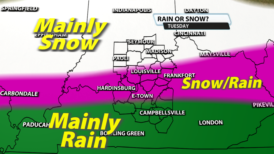
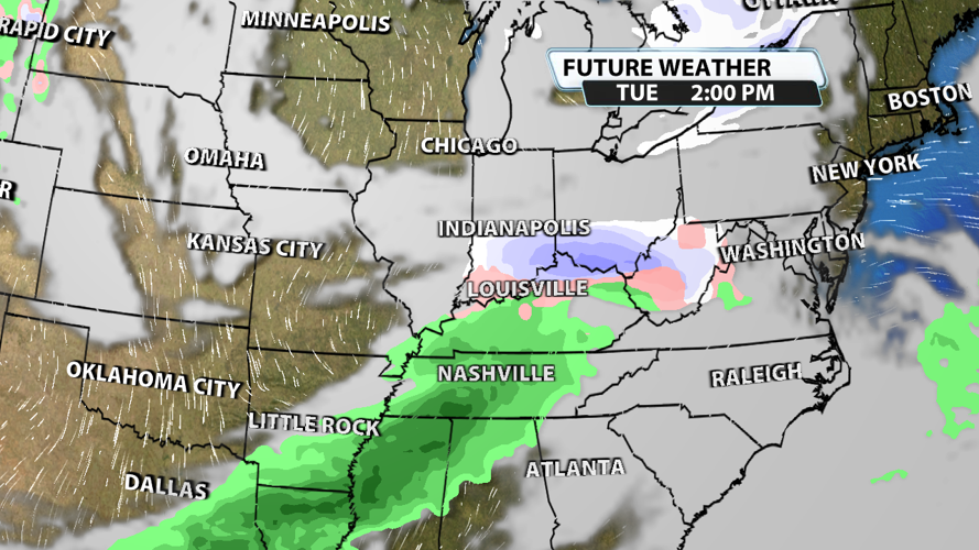
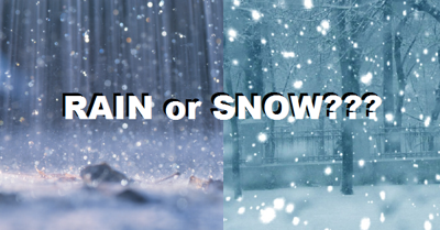
Tuesday is when we will get a rain snow mix across the region. Some of our northern counties will get all snow while some of our southern counties will get all rain. In between these two areas, there will be periods of rain and periods of snow. Snowfall totals will vary, but up to 3" of snow will be possible in places that have an all snow scenario. Travel impacts are expected throughout the day Tuesday. There's also a chance that the cold air and moisture take a little longer to reach each other, so a lot of changes to this forecast are possible.


