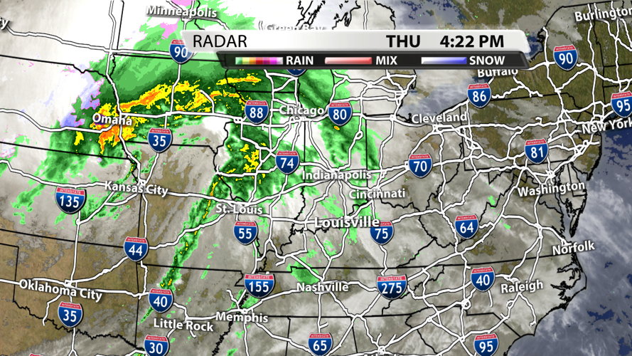


The storm system to our west has produced numerous tornado and severe thunderstorm warnings over the last 24 hours, but it has weakened a bit this evening. Besides a few light showers, the weather will be calm across Kentuckiana through the evening hours.
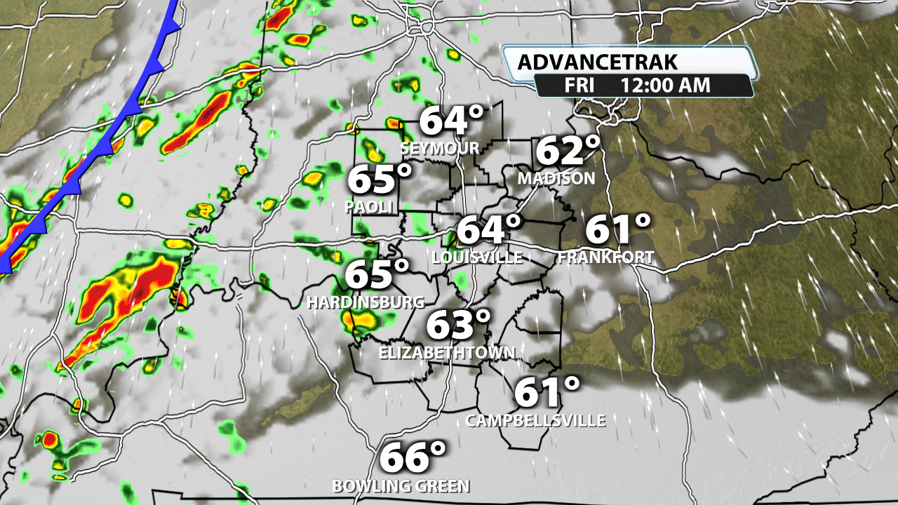
The first sign of storm potential for our area comes around midnight. Winds could gust up to 50 mph within any storms that do develop. Even outside of the storms, wind gusts of 30 - 40 mph will be possible at times.

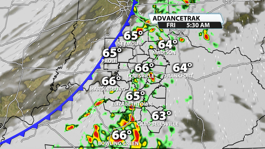
The main line arrives in Louisville within a few hours of sunrise. This means the morning commute will probably be impacted for many folks across Kentuckiana. Again, a damaging wind gust can't be ruled out, but the severe weather threat is low. The storm prediction center has stated there is a very low chance of a brief spin-up south of the Parkways. The better chance for tornadoes will be down in the Deep South.

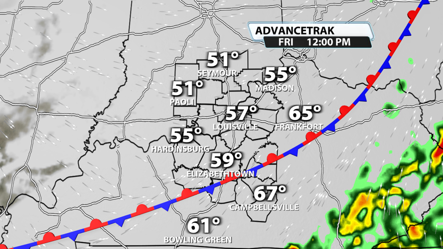
Things clear out pretty quick on Friday with the front stalling out halfway across our region around noon. Temperatures will cool some throughout the day, but it will still be warmer than normal.

A little more rain is possible on Saturday before cold air rushes in behind the system. This cold air will take whatever moisture is left over and possibly turn it into flurries and a few snow showers on Sunday.

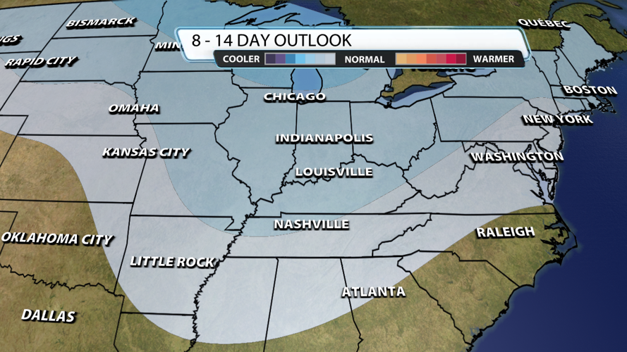
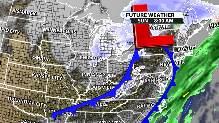
The true pattern shift is a little more than a week out with the possibility of much cooler temperatures returning to our region due to another possible stratospheric warming event.


