

We've had quite the round of winter weather recently with record breaking snow and more than a week of below average temperatures. One would think this can't last forever, but it's starting to feel like it will. Let's talk about those temperature trends and a few snow chances in the coming days.

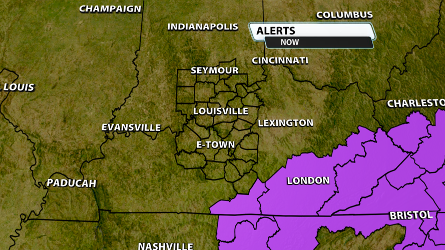
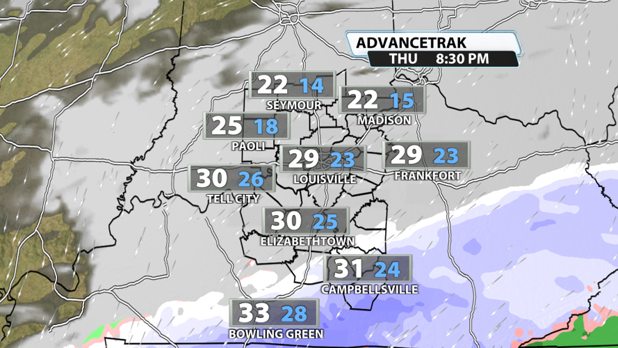
The next chance for snow comes as early as this evening. Many models have consistently placed a system in the Tennessee Valley region over the last week, and it's finally coming together. This system won't impact most of us, but it will bring the potential for measurable snowfall in our far southern counties.

The National Weather Service in Louisville hasn't issued a Winter Weather Advisory for our viewing area concerning tonight's snow potential, but there are advisories just to our south and east. Even without an advisory, slick spots could develop across Green, Taylor, and Adair counties with a quick coating of snow possible for roads down there after sunset.

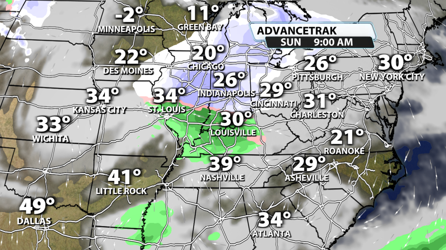
The next winter system comes Sunday. This clipper style storm system will bring snow to some and rain to others. Whatever rain we do get will be fairly light, and most of the snow will probably stay north of the river. Snowfall accumulations should be minimal with a dusting to quick coating being the most likely scenario in our Indiana counties.

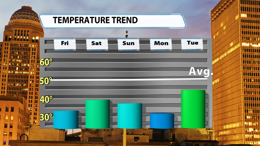
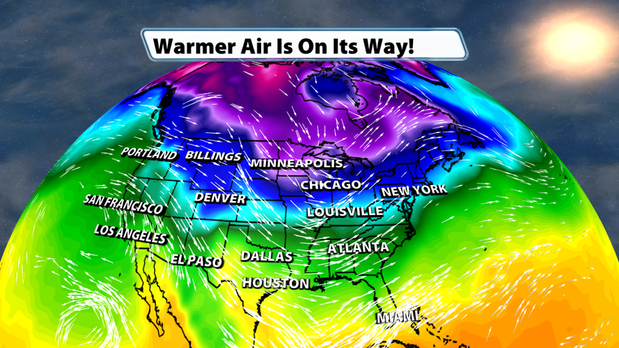
Temperatures will absolutely stay below average through the weekend and into next week. Tuesday is the first day that we could end up with significantly more 40s than 30s for highs across Kentuckiana.

The next real chance for us to have average temperatures comes Wednesday; however, it won't last long. A big blast of cold air very well could rush in right behind whatever warmer air we get along with some rain that day.


