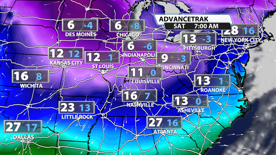
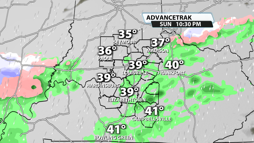


Today has been quiet and quite warm compared to what we've had recently! Temperatures topped out in the middle 40s across much of the region after a sunny start to the day. But that all changes tonight as a cold front slides by and a trough enhances lift to pop-off rain and snow showers.

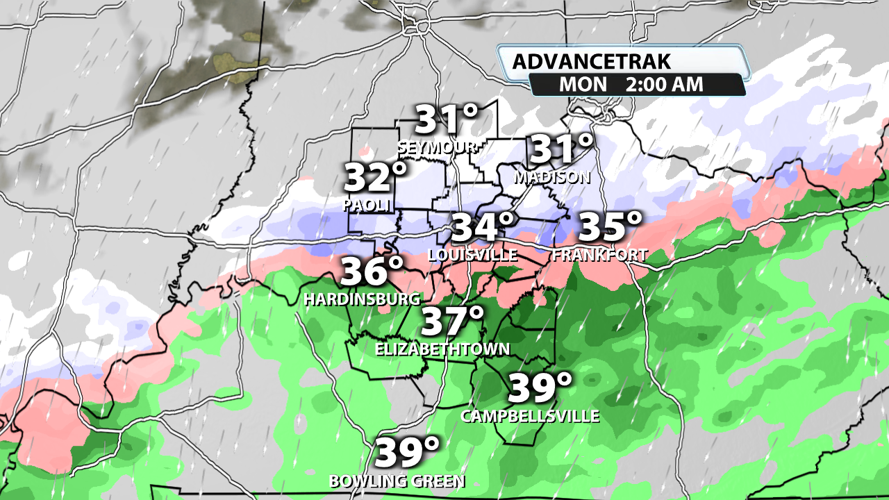
Rain will start for some of us around 10 PM, and it will stay on the light side and not amount to much. Temperatures will be far too warm for accumulating snow at this point.

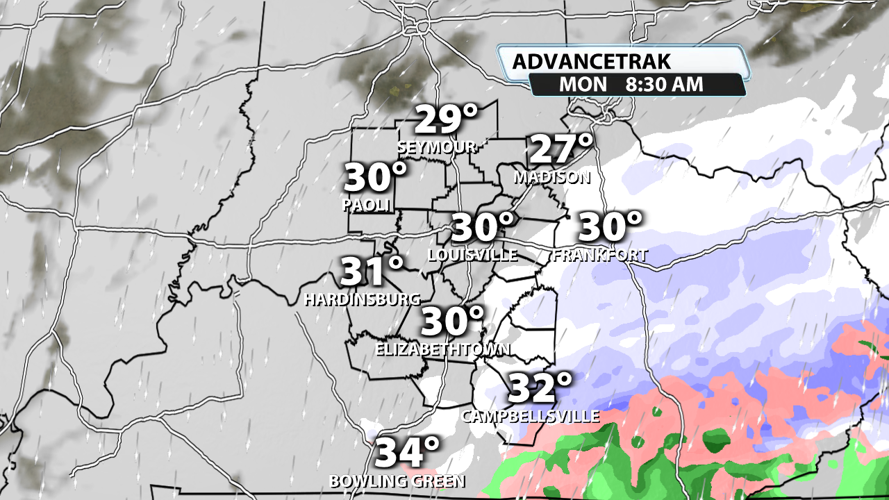
Colder air starts to move in from the north overnight, so we'll see a transition from rain to snow after midnight. Accumulations will be possible, but a coating is the most likely scenario.

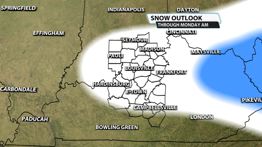
By morning, most of the rain has transitioned to all snow except for maybe spots in far south central KY. Accumulating snowfall between 2 AM and 8 AM will probably result in slick spots especially on roads that don't get much traffic overnight.

Don't get your hopes up for a snow day! This system only has a limited amount of moisture to work with, so snowfall accumulations across Kentuckiana will be anywhere from a dusting to a half inch in the white shaded area. Higher totals are possible along and east of I-75 in the area outlined in blue. This is enough to cause slick spots across the region, so take it slow out there to start your Monday.

There will be a few more chances for snow throughout the week, but an even bigger story will be the brutal cold next weekend. Temperatures could drop to the single digits in some spots with "feels-like" temperatures below 0 at times!


