
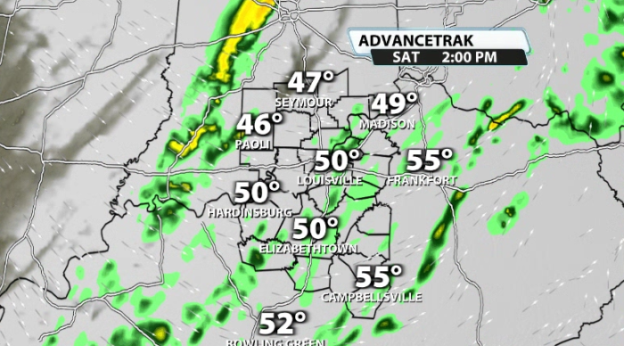
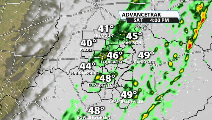
After a day where we nearly hit 70, mother nature is going to take us back to reality pretty quickly. By this afternoon, light showers increase across our area. While light, if you've got plans today, be sure to keep the umbrella handy as these roll through.
By tonight, temperatures start to crash. There's another system on our doorstep that has access to that cold air and does has a little bit of moisture with it. Enough to where we're probably going to get some snow showers overnight tonight.
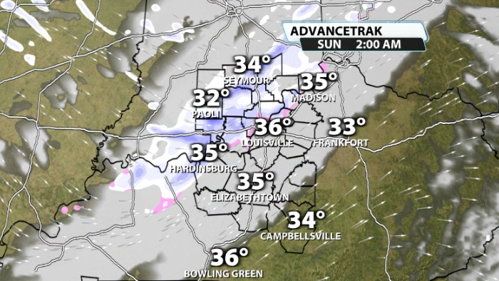
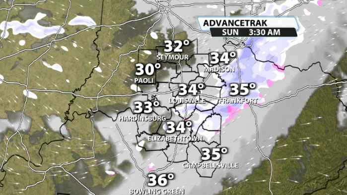
You'll notice that not everyone sees them, and they could be pretty streaky with some heavier bursts. Since it doesn't last very long, impacts should be pretty minimal, especially considering how warm we've been the last couple of days to keep the pavement warm.
Still, some streaky snow totals under 1" are possible, just not very likely. Some won't see much of anything and some could see a dusting on the grass and elevated surfaces. Other than a few streaky spots getting a little more than a dusting, it doesn't look to be a huge concern.
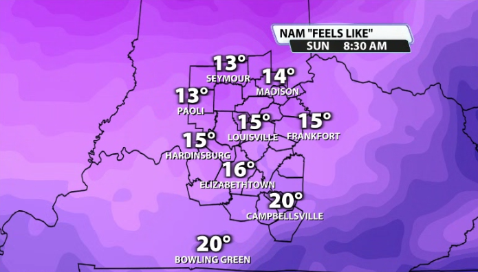
Sunday will bring in colder temperatures fast and will also pick up the wind. Wind gusts to near 25mph for part of the morning tomorrow will bring in wind chill values in the teens and low 20s for much of Sunday.


