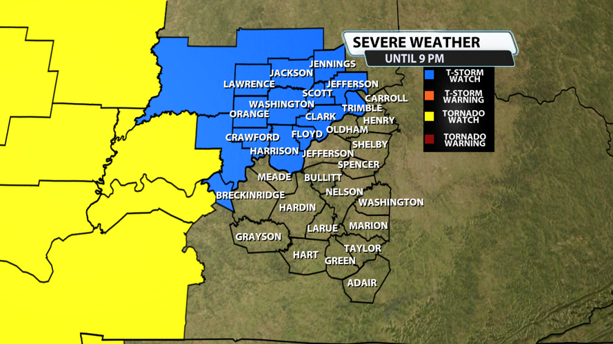


The severe weather threat for Severe Thunderstorm Watch 159
continues.
SUMMARY...Isolated strong thunderstorms may persist for a few hours
late this afternoon/early this evening, posing mainly a risk for
hail and gusty winds. However, the severe risk may increase again
later tonight.
DISCUSSION...Convection is ongoing across southern IN along outflow
north of the Ohio River. Training convection and cloud cover
extending southward in central KY is limiting instability and
resulting in at least weak inhibition. Some lingering risk for
marginally severe hail and gusty winds is expected over the next few
hours. Later this evening into tonight, airmass recovery is expected
as stronger warm advection overspreads the lower OH Valley and a
cold front approaching the Mid-MS Valley advances eastward.
A relative lull in severe potential may develop in the short term
due to convective contamination. Severe Thunderstorm Watch 159 could
be locally extended to cover the short term marginal severe
potential. However, increasing severe potential will likely have to
be addressed later this evening across portions of the region.