


When seasons change, we sometimes experience extremes in different directions. Some days are quite warm. Others are extra cool. And sometimes you get long periods of dry weather of torrential downpours. We've had it all during just the first few weeks of fall, and we've got more of the temperature roll coaster to ride before it's finished.

The last couple of weeks were quite warm with highs in the lower to upper 80s. In fact, we had 10 days in a row that were above 80 degrees from the end of September to the beginning of October. Last Thursday topped out at 86°, but this Thursday peaked at 69°.

Tonight will be an extra chilly one with 40s basically guaranteed and 30s possible in the cool spots. A frost advisory is in effect for counties north of our area. It's not impossible for us to see frost down here, but it isn't likely that many places get it.

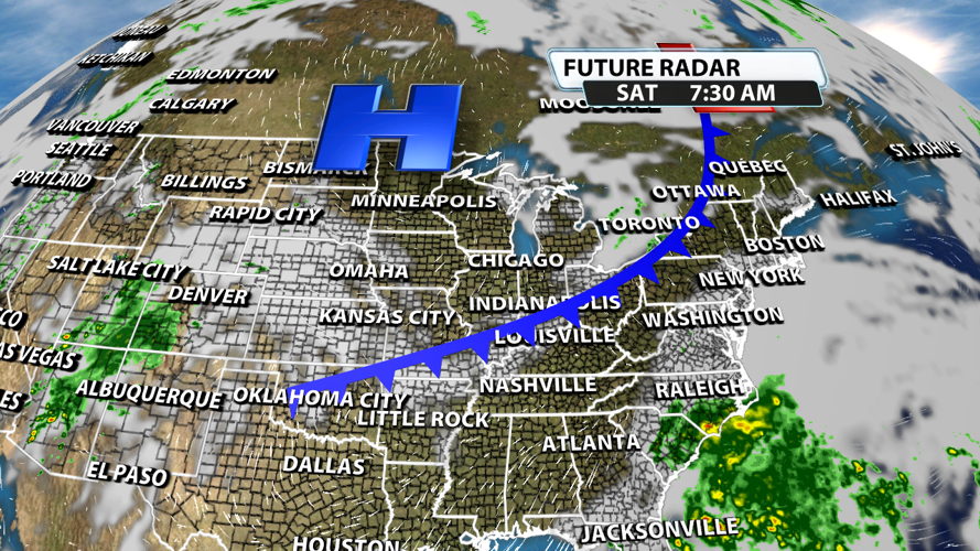
Another cold front moves across the region late Friday night or early Saturday morning. This could pop off a couple of sprinkles. The chance is low considering the low moisture content of the air.

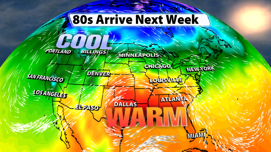
After the weekend cold front, a ridge will build across the southeastern US. This means temperatures should yet again climb into the 80s across much of Kentuckiana next week.


