
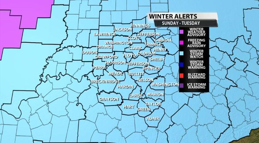

A Winter Storm Watch has been issued for our area Sunday night through Tuesday afternoon. Treat this like you would a Tornado Watch; this is an early heads-up that we are expecting bad weather. Sunday morning this will be upgraded to Advisories and Warnings as we get closer to the snow starting.

TIMING
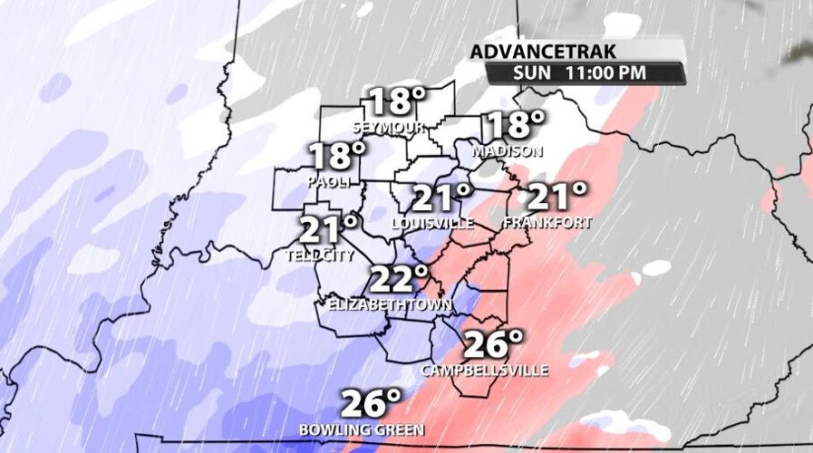
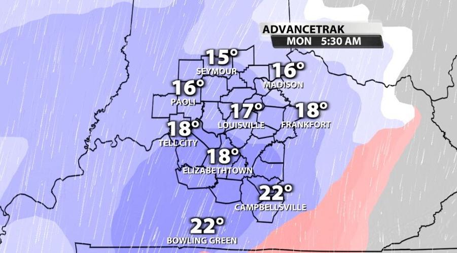
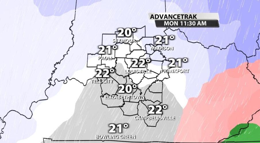
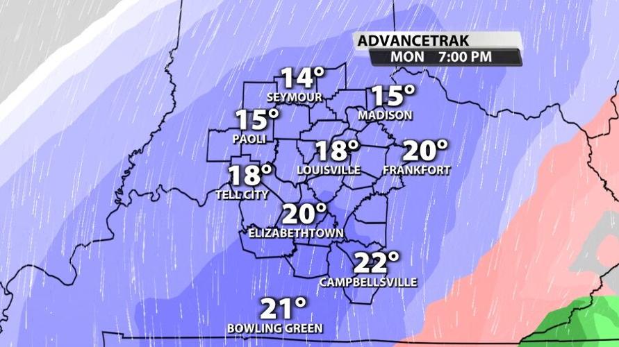
Not much has changed with the timing of this forecast, so I won't add many additional comments here. The main thing to note is that batches of heavier snow will move through early Monday morning and again late Monday night. That's where the snow will really stack up, and in between we will see a bit of a lull in the action.


IMPACTS
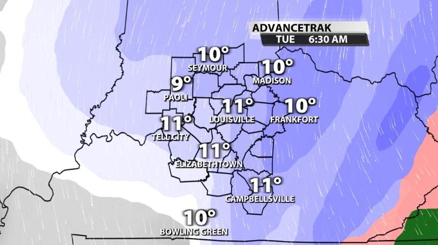
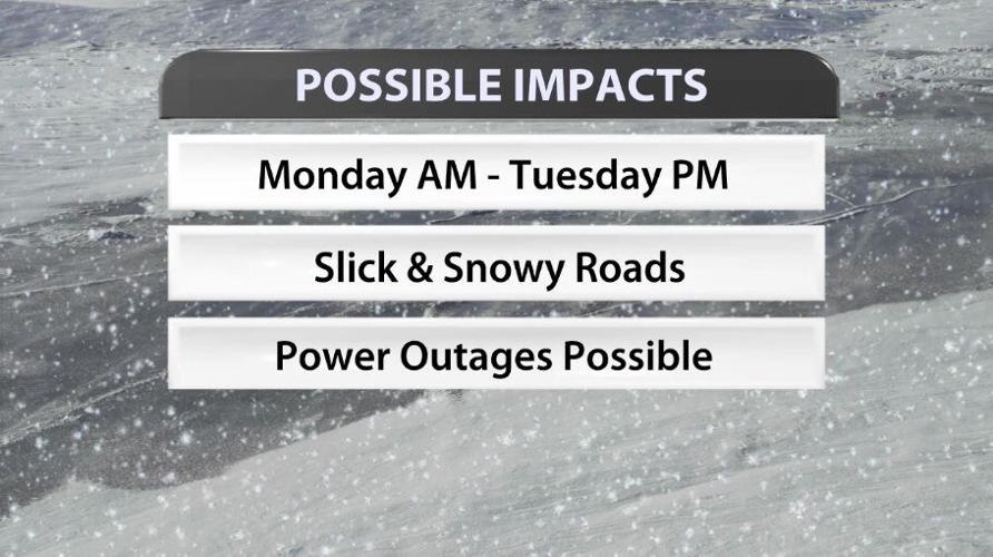
The impacts to watch will be dangerous driving conditions Monday morning through at least Tuesday evening. Part of the difficult part of this forecast is that temperatures drop into the single digits Wednesday morning, so it will be hard to get rid of all the snow in a timely way.

TOTALS
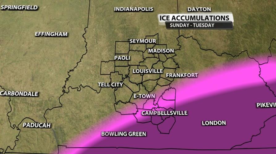
With that said, the big question is, how much should you be expecting? Let's start with ice. The communities who saw some of the highest ice accumulations earlier in the week are still trying to get rid of it! Those are some of the same spots we are monitoring for potential ice accumulation starting late Sunday. The light pink shading below shows where we expect less than a tenth of an inch of ice accumulation, so impacts should be fairly minimal. The darker purple shows where we could see up to a quarter of an inch of ice and impacts would be more likely.

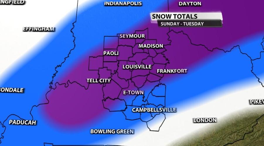
The snow is where this storm becomes MUCH different than what rolled through earlier. We expect to see snow totals stack up under those bands of heavier snow. The white shading in the image below shows where we expect minimal snow accumulations, though please notice we expect all of our WDRB communities to see accumulating snow. The darker purple shading is where we expect higher snow totals, starting around six inches; that does include Louisville.

I (Hannah) will continue to adjust these maps and totals through the evening to make sure we are delivering the most accurate forecast possible. Please join us for WDRB News tonight at 10 to see those updates. Then join Katie and I on WDRB through the day Sunday as we continue to update you on any changes to this forecast. We're talking about a lot of snow that will present a lot of impacts; please make sure you're making decisions based on the most accurate forecast and the most recent updates.


