

You've probably already noticed the breezy day we've had out there so far to get our workweek started. These winds out of the south and southwest today have helped our temperatures climb above normal once again, despite the limited amount of sunshine available. This is setting up our atmosphere for showers and storms to begin to roll in overnight. Don't forget that the wind isn't going anywhere either.
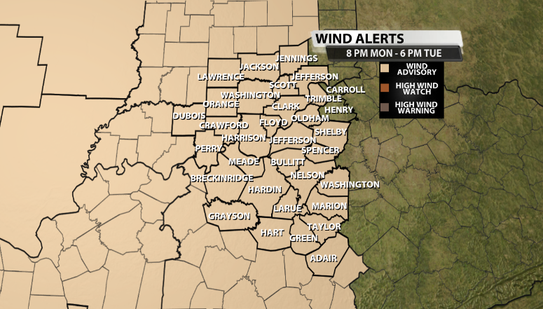
A Wind Advisory goes into effect for nearly our entire area at 8 PM this evening and goes all the way through 6 PM tomorrow afternoon. That's a 10-hour advisory! This advisory is for wind gusts outside of thunderstorms, which we call gradient winds. Wind gusts up to around 45 mph are possible in that timeframe.
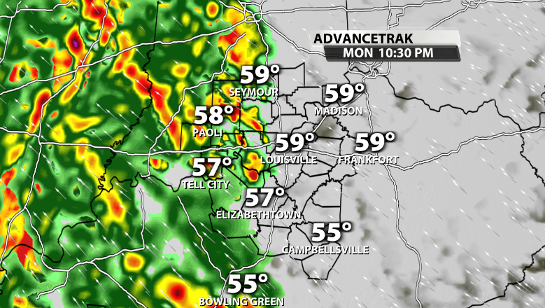
Outside of the strong wind gusts, rain and storm chances increase after sunset tonight. Rain and storms should arrive in our area between around 10 pm-12 am and will remain fairly widespread overnight. Since we don't have much storm energy available tonight, much of this will be just rain, but some thunder is still possible here or there.
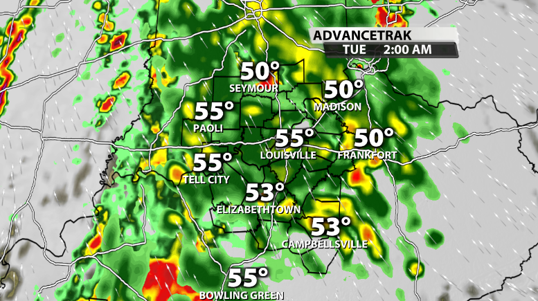
The showers become more scattered and data has many of them slowly tapering off by daybreak and into mid-morning. The biggest question with this forecast is how much dry time can we get after the morning wave of rain moves through. This is important because if we can get multiple hours of dry conditions, and bonus if there's any sunshine, that will allow the atmosphere to revamp itself and regain some storm energy for more storms along the actual cold front that is set to arrive in the afternoon.
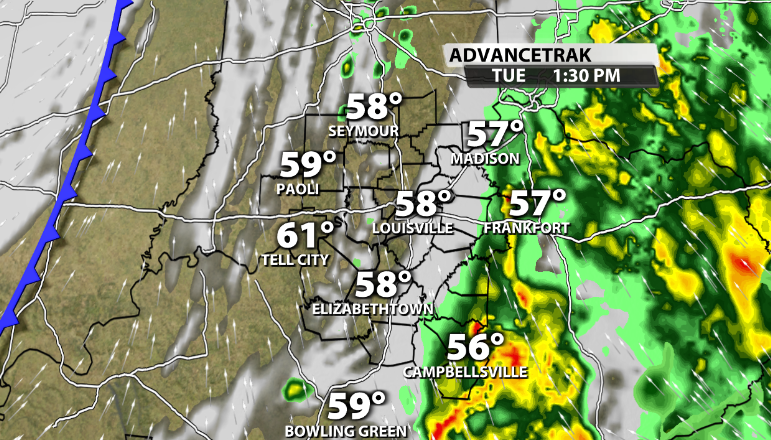
There is a small chance that a few of the storms along this front could become strong to severe, but that will all boil down to how much storm energy (or CAPE) we are able to regain in between the morning wave of rain and when the actual cold front arrives during the afternoon.
Again, strong gradient wind gusts will be the main impact with this system, followed by the chance for more gusty winds and lightning inside storms that could pop-up along the front tomorrow afternoon.


