

Well here we go again folks. Another severe risk has been posted for our area come Friday. This is not a high end risk to be completely clear, but it is worth watching for a few strong storms in our area. Let's dive into it!
First, we have to go through Thursday first. Storm chances start to come up tomorrow. A disturbance heading into our area will weaken by tomorrow morning, leaving decaying storms rolling into our area that will weaken and dissipate by mid-morning.
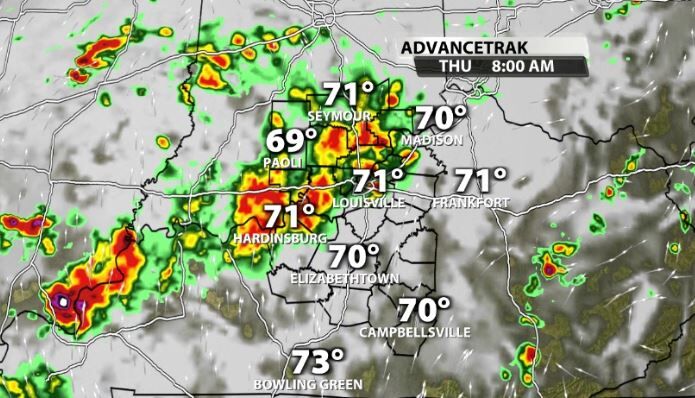
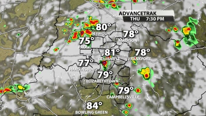
That disturbance however, will still be over us as we get into peak heating of the day. That allows for another resurgence in pop-up storms to thrive along with daytime heating. These storms won't cover everyone, but will be scattered around our area. A couple of them could be on the stronger side with torrential rain and a lot of lightning, but organized severe weather is not expected.
Friday
Friday will likely be the best chance for storms this week. There are still multiple ways we don't end up getting severe weather and to be quite honest, not a whole lot of storm coverage due to a lack of forcing, but let's look at what the data has right now.
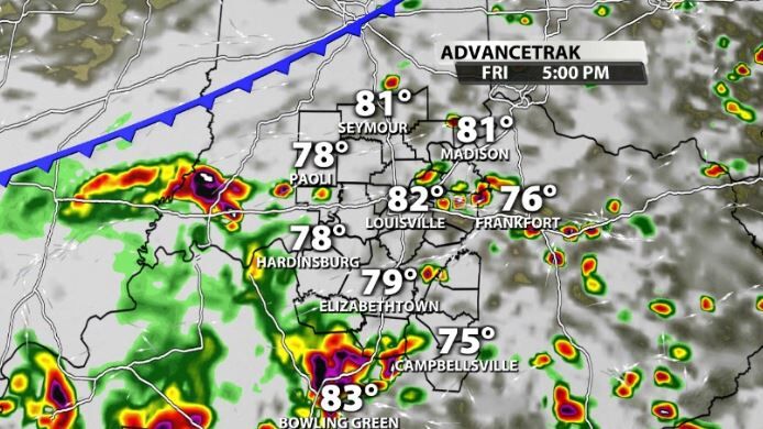
Friday will come in waves. Most data has a wave rolling into our area mid-morning.
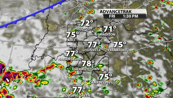
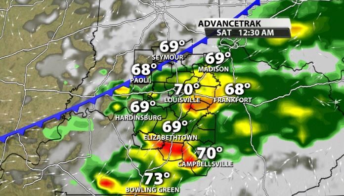
What happens in the afternoon will depend on what happens early in the day and so on and so forth like a domino effect all the way back to Thursday. Data shows another wave moving through late afternoon/evening where the severe threat would be at its highest.
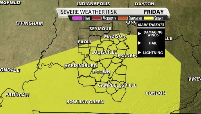
Severe Risk
The Storm Prediction Center currently has most of our area under a Slight (2/5) risk for severe storms on Friday. Again, this is not a high end risk. Damaging winds would be the main threat, along with hail and frequent lightning.
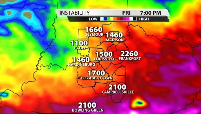
We know what we need for severe weather. We need storm energy, wind energy, and lift. So, what is the failsafe mode that could prevent severe weather for us Friday still? Let's take a look:
First off, storm energy. We get a lot of that by having warm temperatures and high dew points. Well, Friday will have temperatures in the low-mid 80s with dewpoints near 70, so we've got plenty of that.
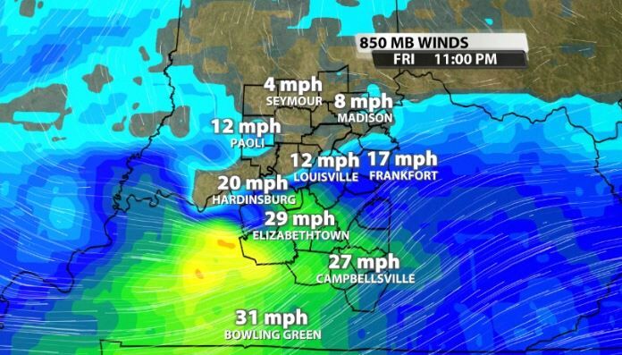
What's a little more in question is the wind energy. We typically look for 40mph winds at the 850mb level (around a mile above our head) to support severe weather. While some data has some sufficient wind energy, as you can see with the model below, not all does.
Lastly is lift. These storms are not firing right along a cold front, so the forcing mechanism that causes lift (the front), is not strong. These are two modes of a failsafe that could still limit severe weather within our viewing area.


