
It has been snowing for a few hours, the air near the ground was too warm and too dry for anything to stick when it started. Now, it's a different story. The snow is now successfully sticking to the grassy areas and elevated surfaces, and accumulation on roads will be happening soon.

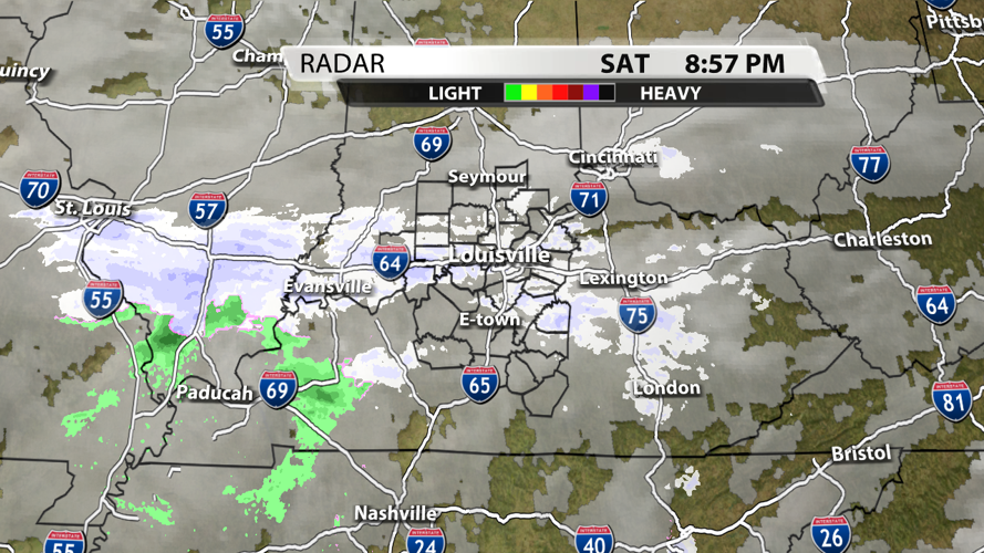
Satellite & Radar graphic from WDRB's WSI weather graphics system

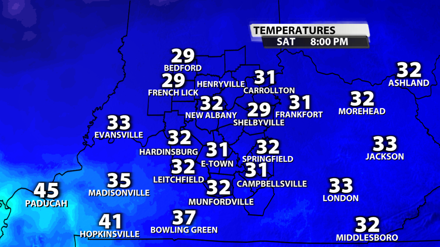
Current Temperatures graphic from WDRB's WSI weather graphics system

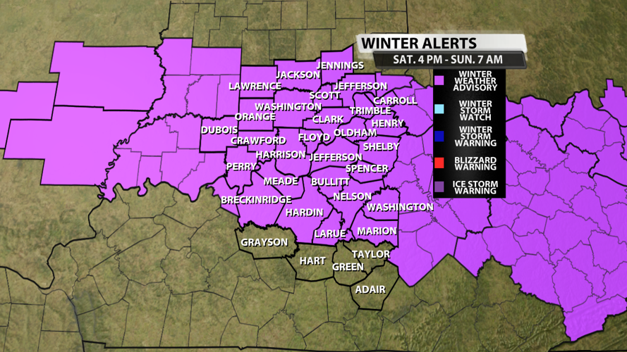
Winter Weather Advisory issued by the NWS in Louisville
We have already received reports of two major wrecks causing extreme traffic issues on I-65 this evening. While we aren't 100% sure if these wrecks are solely weather-related, we can assure you that road conditions will deteriorate overnight as snow starts to stick on the roadways.

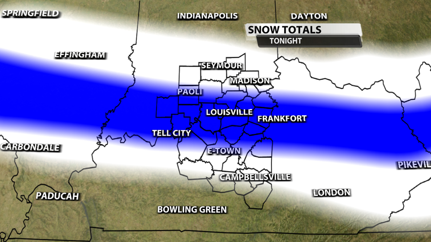
Snowfall map created in WDRB's WSI weather graphics system
The heaviest snowfall will likely occur in Southern Illinois and Southeast Indiana with up to 3 inches possible in the area in blue. The blue shading around the I-64 corridor in Kentucky could see 1-2" of snow, with 1" being the most likely scenario especially as you move closer to Frankfort. The white shaded area will have up to 1" of snow possible, but most folks will get less than 1/2".

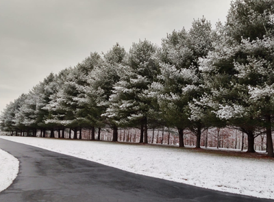
Medora, IN - Credit: Tracy Ann Hansen

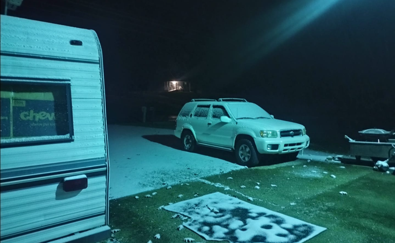
Charlestown, IN - Credit: Teresa Speede

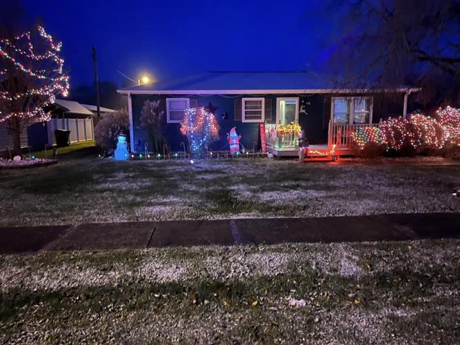
Georgetown, IN - Credit: Greg Griffin


