

Happy Mother's Day! While mother nature is giving us a break for mother's day, it's not going to be the same for the majority of the work week. Storm chances begin to rise quickly by tomorrow morning.
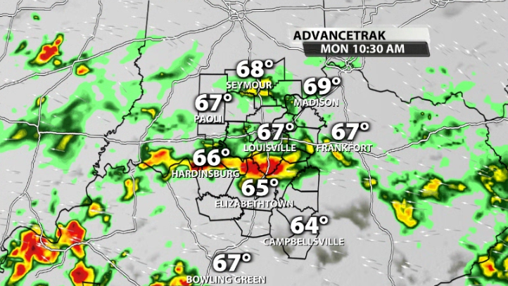
We'll see our first wave of showers and storm around the morning commute on Monday, before getting a little bit of a break for late morning/ early afternoon.
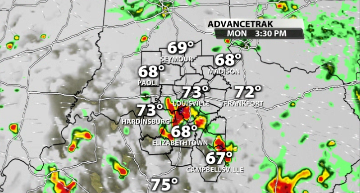
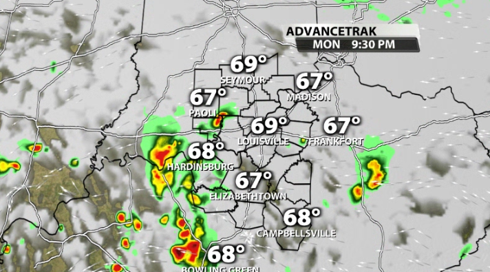
As we heat up and bring in more humidity, storms re-thrive for peak heating of the day. Scattered storms last through the afternoon and into the early evening. We don't expect severe weather with these storms, but it doesn't mean some can't pack a punch. Heavy rain and frequent thunder and lightning will be likely within these.
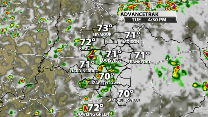
We'll see more of the same on Tuesday. Since we'll still be muggy and warm, we basically recycle the storms and see more pop-up through Tuesday morning and afternoon. Again, no severe weather is expected, but you'll know it if you get caught under one of these storms.
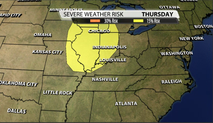
We're watching a potential severe threat for Thursday night into early Friday morning. We're going to try and make a run at 90 on Thursday which will build up plenty of storm energy for storms that night. The SPC for the moment has part of our Indiana communities in a severe risk for Thursday night already.


