
In addition to the issues the heat and humidity bring, we are also dealing with a prolonged stretch of dry weather. My lawn is certainly drying out, and we have heard many of you expressing the need for rain. Some of you will get a bit of rain tomorrow, but even for those who see it, this likely won't be as much as you are hoping for.
MORNING
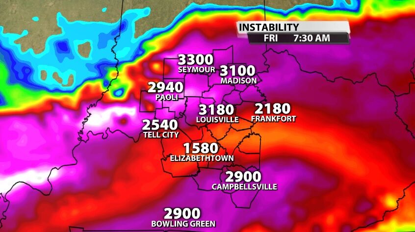
Because of how hot and humid we stay, even late at night, there is some instability in play first thing Friday morning when a cluster of storms will move into our area from the northwest.
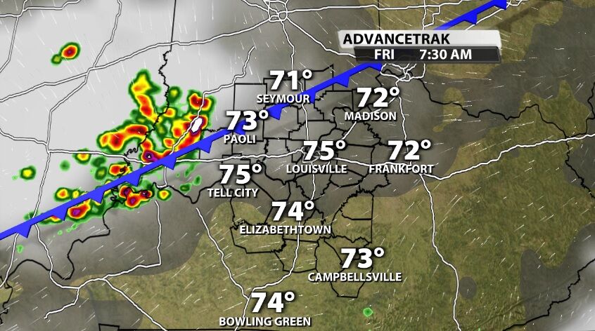
Those storms will bring a quick burst of heavy rain, strong wind gusts, and thunder/lightning. Those are most likely in our western and southwestern communities, specifically west of I-65 and south of I-64.
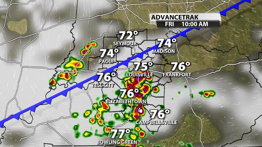
These storms should be in our area between dawn and roughly 11 AM, and they do break apart a bit as they move through our communities toward the southeast.
AFTERNOON
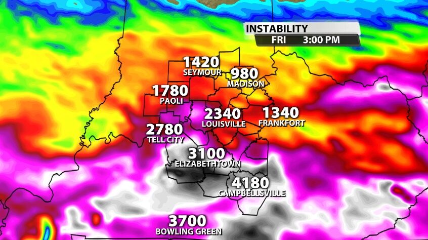
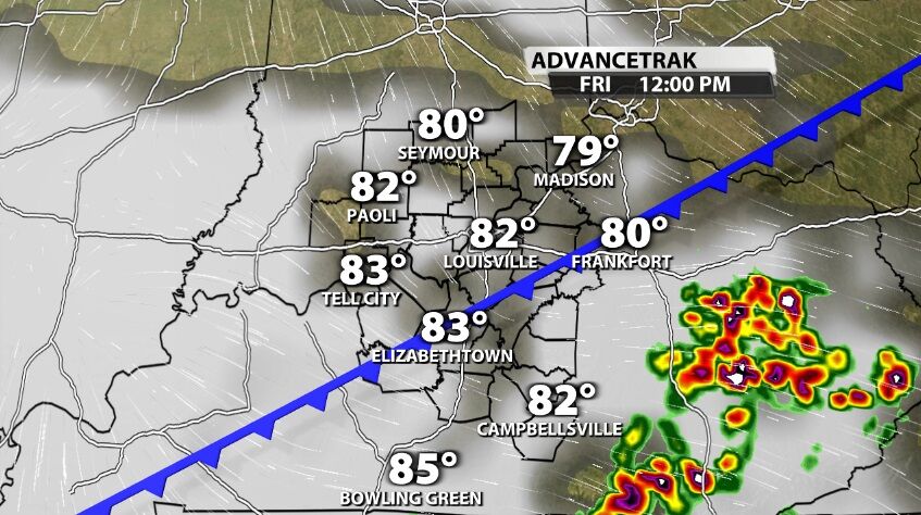
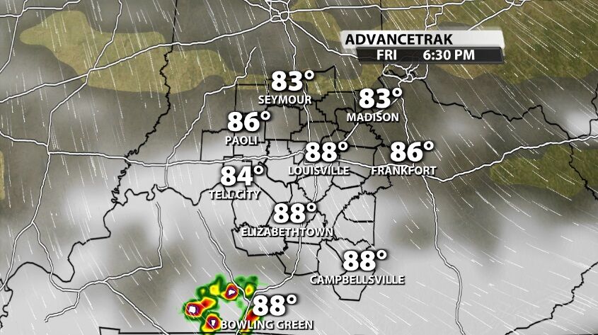
In the afternoon hours, after the cold front has passed through many of our communities, the best storm energy will be confined to central and southern Kentucky. In those areas we may see another round of storms pop up in the heat of the afternoon.
Tune into WDRB News tonight to hear Meteorologist Rick DeLuca's thoughts on the strength of these storms and to see the latest timing data.


