

Just one day ahead of the official start to Winter, we're going to get a little bit of the white stuff. That's right! Snow is on the way!
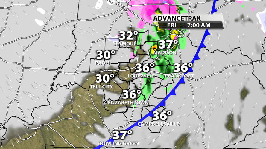
A cold front swings through early on Friday morning, so temperatures will be pretty stagnant most of the day with 30s across the board. Many folks in KY will only see rain at the start of the day, but Southern Indiana residents have a better chanced of catching a wintry mix that leans toward mostly snow.

AdvanceTrak graphic created in WDRB's WSI graphics system
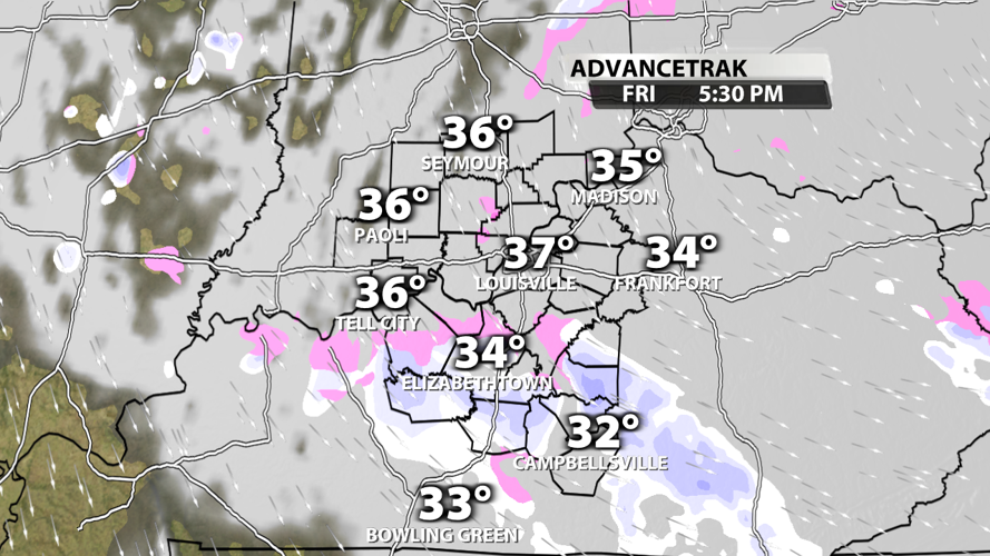
Clouds will hang around all day, but snow showers will turn on and off throughout the day. It's impossible to predict exactly when and where each burst of snow will happen, but you will likely catch one at some point. One of those points could be during the evening commute. Be careful of reduced visibilities if you find yourself in one of these snow bursts.

AdvanceTrak graphic created in WDRB's WSI graphics system
Much of the atmosphere will be cold enough to produce snow, but the air temperatures near the surface will be above freezing as the snow falls. Combine that with the above freeze ground temperatures, and you shouldn't expect much in terms of snowfall accumulations. If you catch one of the heavier snow bursts, we won't rule out a quick half inch of snow. But that chance is low, and accumulations will likely be on elevated surfaces and vegetation.
Take it easy on the roads tomorrow! Even though we won't get a lot of snow, roads will be wet and slick.


