
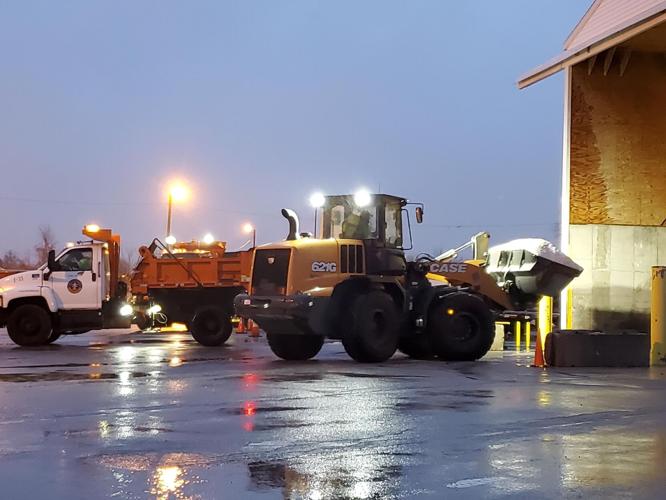
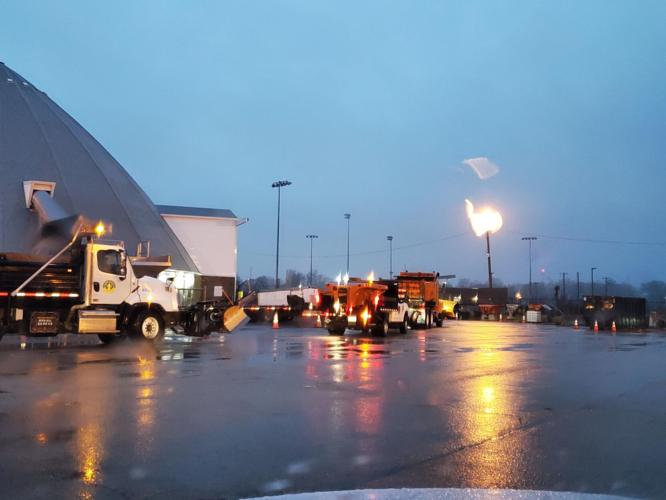
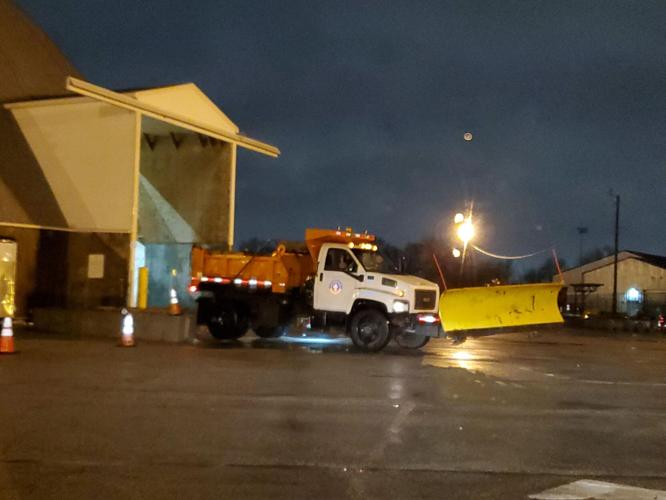


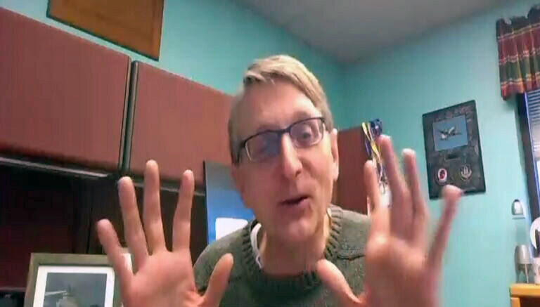
LOUISVILLE, Ky. (WDRB) -- John Gordon with the National Weather Service said he anticipates about a quarter of an inch of ice accumulation in Louisville. And that will mean big problems for drivers on the road Thursday evening.
"I think the real problem for Louisville is probably for the 3 p.m. and onward range," he said. "Especially toward the rush hour is when your really start to see problems off the main roads especially."
Additionally, Gordon said the freezing rain will transition to light snow and freezing drizzle before ending by daybreak Friday.
"The worst-case scenario is up to a half an inch," he said. "I don't think that's gonna happen. I think the Louisville Metro will be between two-tenths and about a third of an inch of ice. And then we get the snow and a little bit of sleet this evening."
Bottom line?
John Gordon, National Weather Service
"Folks, if you don't need to be out on the rush hour, don't," Gordon said. "Rush hour onward this evening will be problematic with ice starting to get down to the main roads, secondary roads especially and some of the main roads and bridges and overpasses."
For the latest update on roads in southern Indiana, click here.
For the latest from KYTC, click here.
For the latest conditions and closures from TRIMARC, click here.
Louisville's "snow team" updates its progress on a map of its snow routes. click here.
To check the latest forecast from our team of WDRB meteorologists, just go to our weather page.
Winter is a great time to download the WDRB Weather app for your Apple or Android phone. It allows you to check current conditions, local radar and get the hour-by-hour forecast. To find out how to download, click here.
Copyright 2022 WDRB Media. All Rights Reserved.


