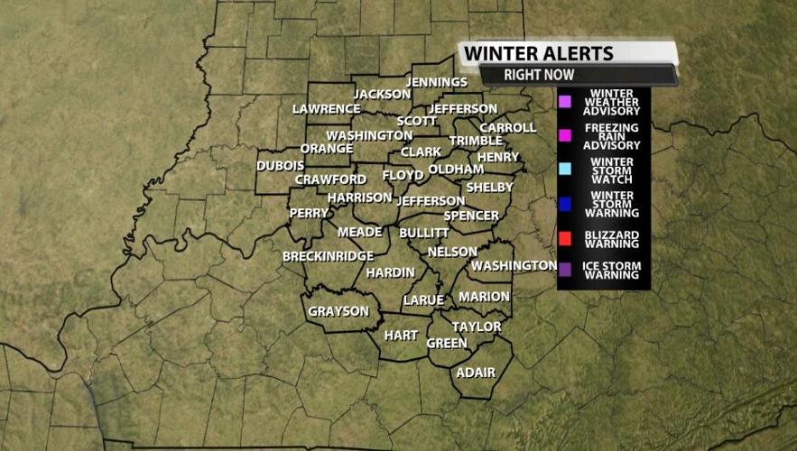
During the winter season, we get a lot of weather alerts from the National Weather Service. You have probably heard us talk about Ice Storm Warnings, Winter Weather Advisories, and even Winter Storm Watches. Each of our winter alerts means something slightly different, so let's make sure we are on the same page when it comes to these winter threats.

The general language of watches, warnings, and advisories stays the same as during severe weather, but there are many different kinds of threats that you may need to be alerted to during the winter. The definitions and list below come from the National Weather Service office in Louisville - the people who are issuing these products. Keep in mind each forecast office has slightly different criteria for each of these alerts. For example offices farther north have a higher threshold for snow than what you see listed here. Offices farther south have lower thresholds, so they may issue one of these products for a forecast with less snow.

Winter Storm Watch: Any combination of snow, sleet, or freezing rain averaging four inches or more within 12 hours. This is expected to occur in the next 2-3 days. This now also covers the old Blizzard Watch, too, which no longer exists.
Winter Storm Warning: Any combination of snow, sleet, or freezing rain averaging four inches or more within 12 hours. This is expected to occur in the next 1-2 days.
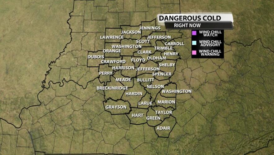
Wind Chill Watch: Wind chill values are expected to fall to -25ºF or less with a wind speed near or above 10 mph in the next 2-3 days.
Wind Chill Advisory: Wind chill values are expected to fall to between -10ºF and -24ºF with a wind speed near or above 10 mph in the next 24-36 hours.
Wind Chill Warning: Wind chill values are expected to fall to -25ºF or less with a wind speed near or above 10 mph in the next 1-2 days.
Winter Weather Advisory: When a combination of sleet, snow, or freezing rain is expected to accumulate 1-4 inches in the next 24-36 hours. This may also be issued in high impact events when accumulations are expected to remain below an inch, such as a quick burst of snow at rush hour. If you remember the old "Freezing Rain Advisory," that doesn't exist anymore. Now these Winter Weather Advisories will be issued to cover that situation.
Blizzard Warning: A combination of sustained winds or frequent wind gusts of at least 35 mph and visibilities of less than 1/4 of a mile due to snow and/or blowing snow for at least three straight hours is possible. This is expected to occur in the next 1-2 days.
Ice Storm Warning: A freezing rain event is expected in the next 1-2 days that will produce ice accumulations of 1/4 of an inch or more.
Snow Squall Warning: Intense, but limited duration, periods of heavy snowfall and gusty surface winds resulting in visibility less than or equal to 1/4 of a mile. (This would also be used to cover a "flash freeze" event that would cause more significant impacts)
You probably noticed a lot of these products look similar, which is why the timeframe is highlighted. Many times a Watch will be issued 3 days before the expected weather arrives. Then the day before the weather is expected, that Watch is upgraded to a Warning or Advisory. Yes, these products describe different types of weather threats, but they are also used to signal immediacy or having a few days to prepare and change plans. Each product also has its own color to help it stand out when many are issued at the same time and are listed on these graphics above.

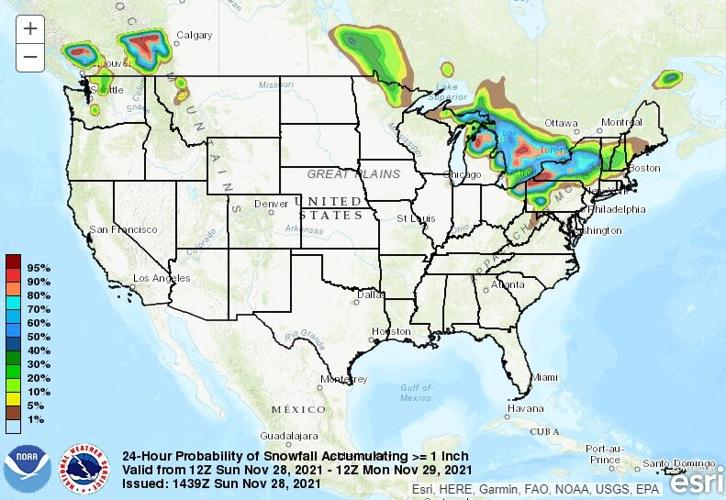
NOAA also has a national office called the Weather Prediction Center that issues outlooks for Heavy Snow (greater than four inches) and Ice (more than 1/4 of an inch). These outlooks are issued for the next three days, so you can think of the WPC like the winter version of the Storm Prediction Center. The SPC issues risk outlook maps for severe weather showing where storms will be most likely and how bad those storms will be. The SPC map above is an OLD example for illustration only. You can click here to go to the Weather Prediction Center website. These hazard risk maps can be found near the top of the page. Below is an OLD example of the WPC snow map for illustration only.

You can click here to go to NWS Louisville's website where you can see all their winter products listed in the same place. We write a blog post each time one of these winter alerts is issued by the National Weather Service, so we will keep you informed here and on TV about what threats are coming and when.


