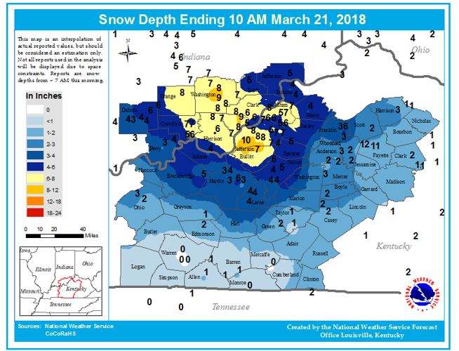


A significant winter storm impacted southern Indiana and portions of central Kentucky on March 20-21, 2018. As low pressure developed and pivoted east of central Kentucky Tuesday night, a deformation band of snow also pivoted across the region. The heaviest and most persistent moderate snowfall occurred over southern Indiana and portions of north-central Kentucky, where 5 to 10 inches of snow fell. The heavy, wet nature of the snow resulted in some downed trees and power lines.

Image Credit: NWS
Above is a map of observed snow depth from the morning of Wednesday, March 21, 2018. These data were gathered from various reporting sources including trained spotters, trained observers, emergency management, law enforcement, media, department of highways, and the general public. This map is an interpolation of the numerous snow depth reports received, but may not exactly match how much fell at your house.

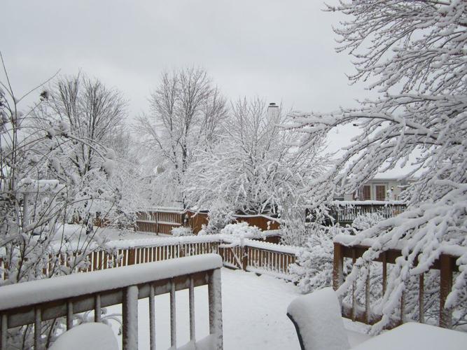
Image Credit: Tom Reaugh in Anchorage

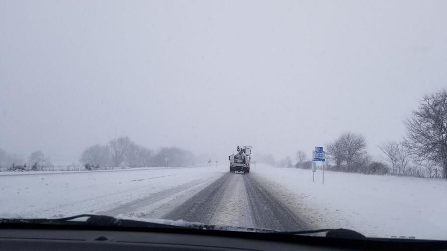
Image Credit: Steve Webb in Bardstown


