
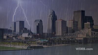
After many hit or miss downpours in our area yesterday, we are far from done. More is on the way for part of Father's Day for some of us and even more for part of the work week.
You can see how some of us yesterday got a lot of rain in a short amount of time. This is from the Cravens, KY area between Bardstown and Boston. You can see the flooding from a storm that rolled over yesterday afternoon.

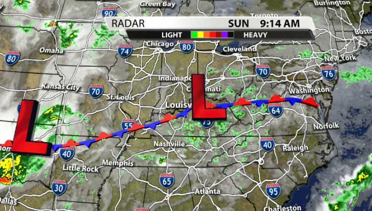
For Father's Day, we do have another pop-up storm chance. The good thing is that the low pressure that brought a higher rain chance yesterday is now sliding off to the East. Since it isn't right over us anymore, our chance chance isn't as high.
The afternoon will warm back up into the low-mid 80s again and provide enough fuel to get a few storms going for the mid-afternoon through the evening hours.


We aren't done after today, though. More pop-up storm chances return Monday afternoon, but become more likely late in the day and after sunset Monday night into Tuesday.


Tuesday will be very similar to today, we warm up, we see more pop-up hit or miss storms.

A cold front will be rolling toward our area on Wednesday night. We will be a little warmer on Wednesday which will provide a decent amount of storm energy as that cold front approaches. The good thing (for now) is that data has that front actually reaching our area near daybreak on Thursday. That is the coolest part of the day, which would help limit chances for severe weather. With that being said, there is still a severe risk already out for that night, just to our West.

If that front speeds up at all and gets to our area earlier when it is a little warmer, then we could see a few strong storms get into our area.


