
Rain returns to our area Sunday as a pair of low pressure centers head toward us.
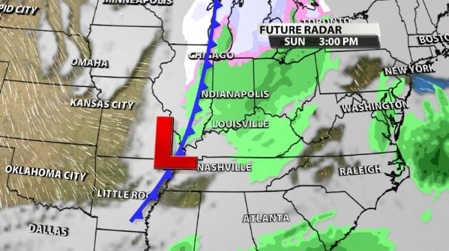
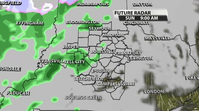
Rain will start Sunday morning in our western communities and move east through the morning.
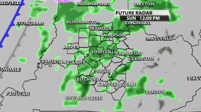
The heaviest rain looks most likely in the late morning hours as that first round spreads across our area, though none of this rain will be especially heavy.
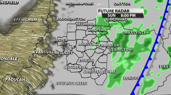
Through the afternoon and evening, scattered lighter showers will be likely. With temperatures dropping from the low 50s into the 40s, this will all still be rain.
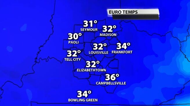
By Monday morning, though, any moisture leftover could fall as flurries because temperatures will be below freezing. There won't be much moisture left, so this won't be "real snow" that could stack up or cause problems.
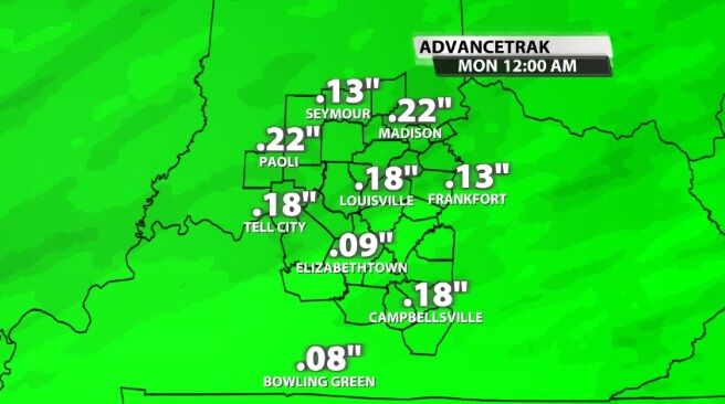
The rain we do see will be fairly light, totaling up to less than a quarter of an inch for most of you.
Tune into WDRB News tonight at 10 to see the latest data on this rain and hear my thoughts about how it may impact your people who are traveling home after the holidays. The news will be on WBKI tonight, the CW.


