

We're roughly 24 hours away from showers and storms developing in parts of our area, and the forecast is becoming more clear with each new round of data that we get.

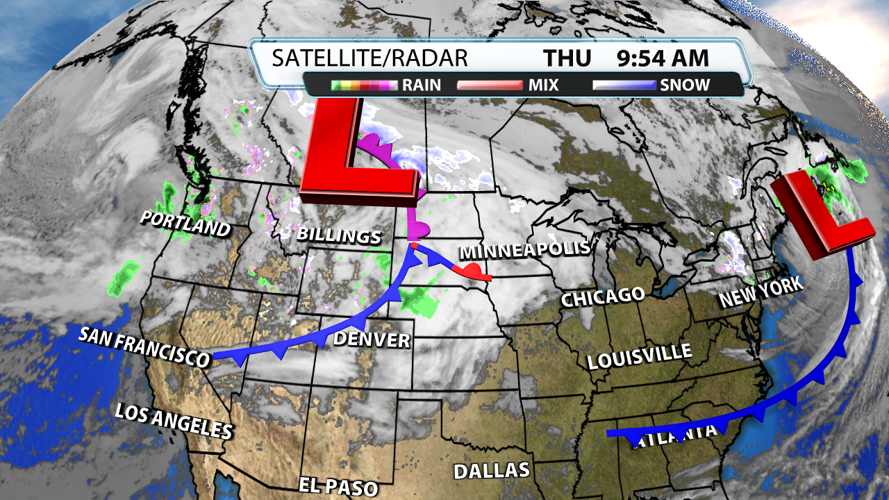
The storm complex coming off the Northern Rockies today is the one that will swing by our region tomorrow. The coldest air will stay closer to the area of low pressure, but the better dynamics for severe weather potential will be on the southern side of the system.

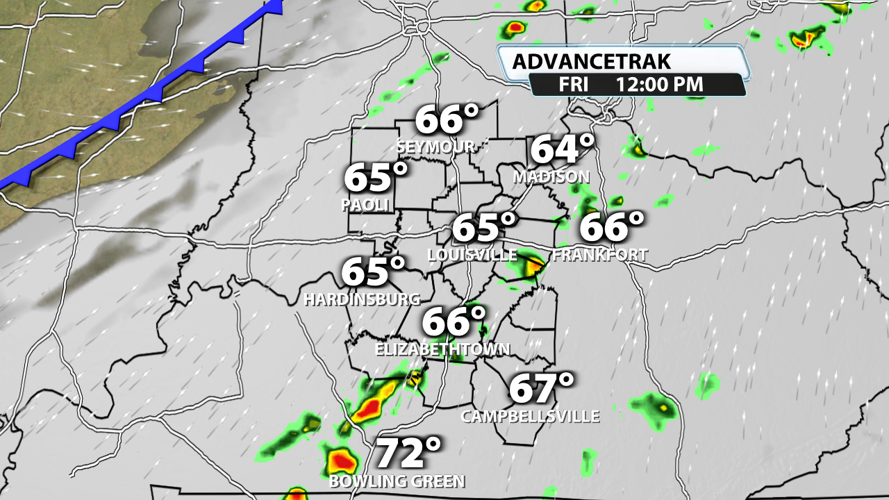
A few pre-frontal showers are possible in the morning, but storms should hold off until the afternoon.

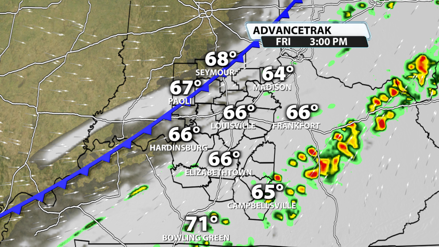
A strong/severe isolated supercell can't be ruled out when things really get going in the afternoon. Some instances of damaging wind gusts and hail will be possible with any supercells that develop. The most likely timeframe is 2 - 5 PM for these storms, and they should be confined to places south of the Parkways.

The cold front will clear most of our viewing area before dinnertime, but some of our far southern communities could still be dealing with storms in that timeframe. Damaging winds and hail are still the main threats.

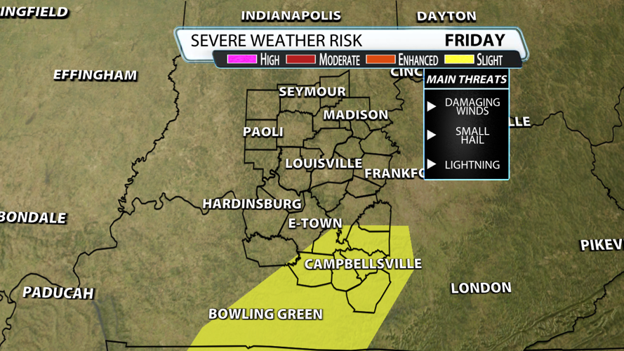
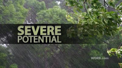
The Storm Prediction Center has places south of the Parkways in a Slight Risk (level 2 of 5) for severe weather. There is a very low chance for severe weather in general, but it could still happen even outside of the Slight Risk outlined in the map above. Some rotation within these storms is possible. Gusty winds outside the storms will be present much of the day with some gusts as high as 30 mph.


