

I know it's been cold for what seems like forever and the snow from last week is still about 95% on the ground. However, when we're this cold for this long, it's not hard to get a few more snow chances. We have one today!
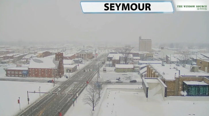
You can see the scenes from Seymour this morning as snow showers are rolling off the Great Lakes and down into our area today. There is just enough moisture available where we could get a few more of these snow showers for more of us through our Saturday.
You'll notice in data that a lot doesn't get shown. Data has had a hard time picking up on these snow showers, but when you look at snow totals for the same model, you can see the numbers tallying up.
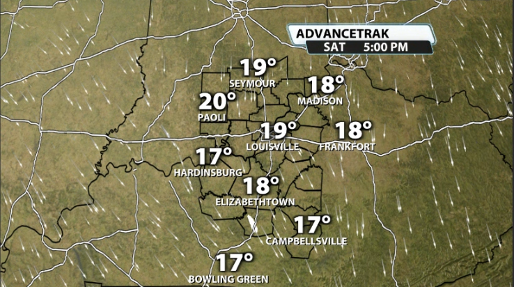
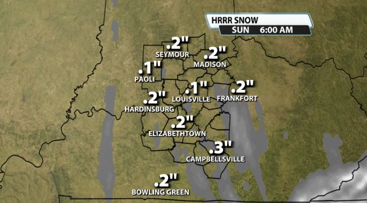
It doesn't end up being a lot, but it can put a quick coating here or there on some roads that are still easily and obviously below freezing. It doesn't take much to create a few more slick spots on even plowed roads when you get some scattered snow showers like what could be out there today.
Monday & Tuesday
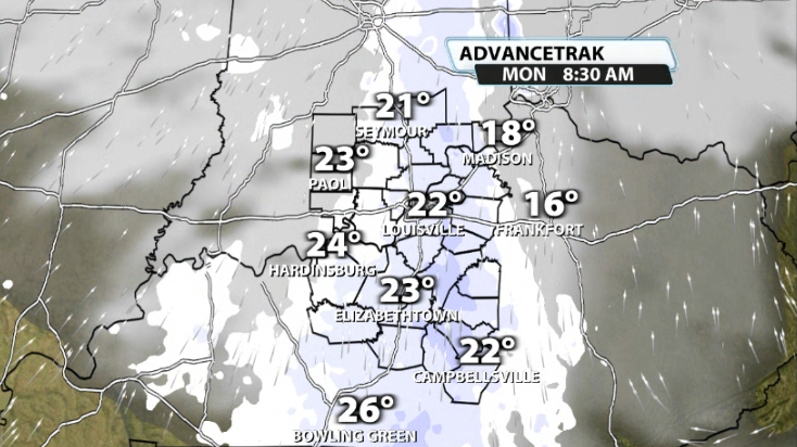
Some data, not all, shows a quick hitting round of light snow showers for the morning commute on Monday. Again, not all data shows this, but it is worth mentioning if it plays out considering the time of day it would roll through.
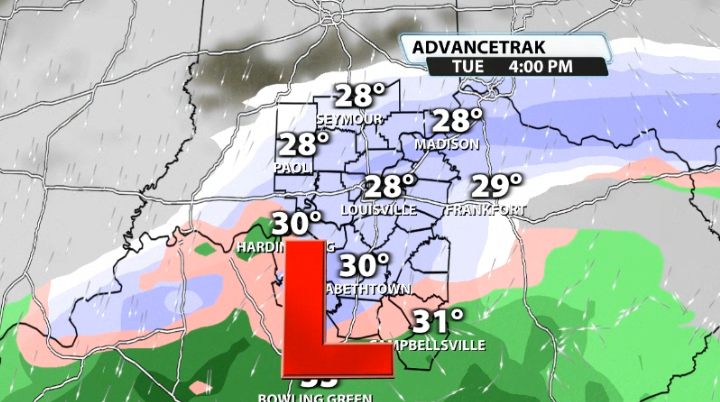
Tuesday could bring a little bit of a better chance, depending on the track. A clipper system will be heading toward our area, but where snow vs rain ends up is far from being set in stone. If the low goes further south, then we would have access to colder air and therefore snow, but if it comes further north we could get just to around freezing and end up with more of a mix.


