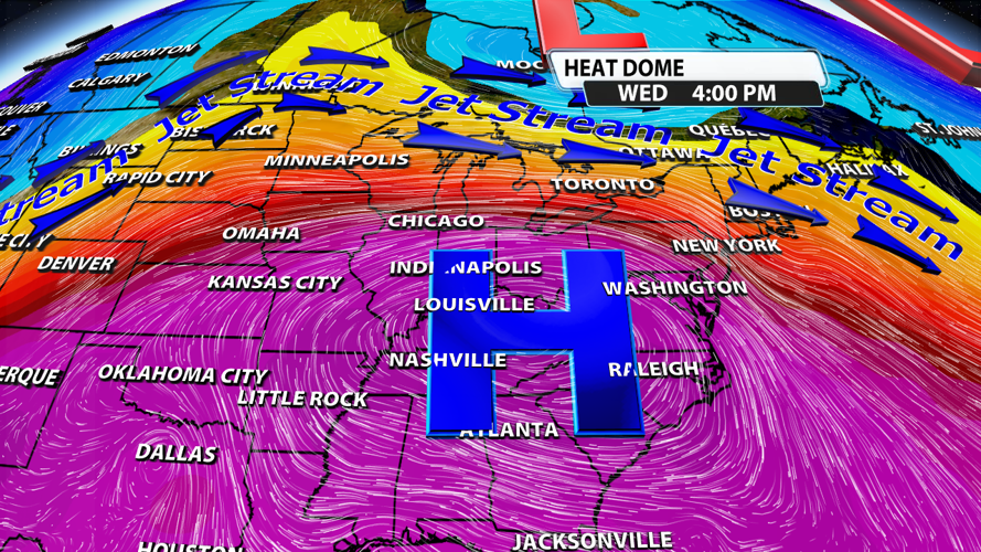


A big ridge of high pressure is building over the Ohio River Valley this week. The canter of the high should sit directly overhead Tuesday and Wednesday. Once it takes hold, it won't want to let go.

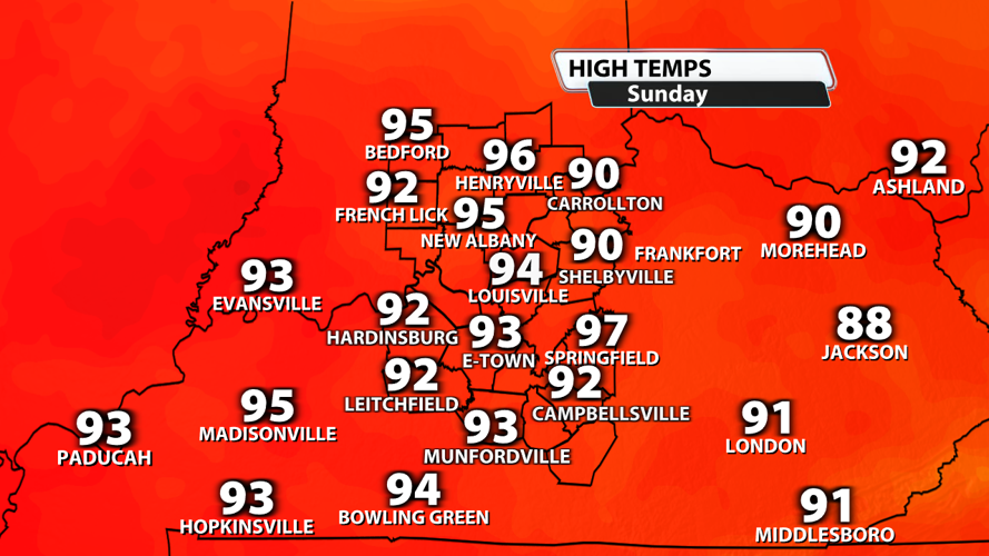
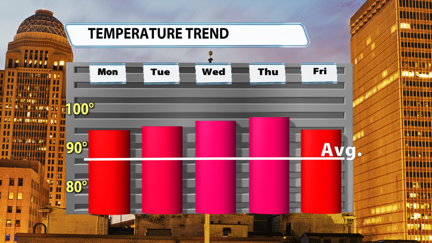
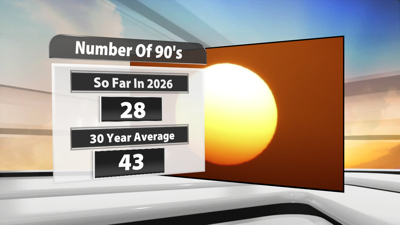
The average high this time of year is in the middle to upper 80s, specifically 87 degrees dropping to 86 degrees over the next 5 days. That means every high temperature through this next work week is expected to be roughly 10 degrees hotter than average. In fact, as highs run up close to 100 degrees, these should easily be the hottest days of 2026!

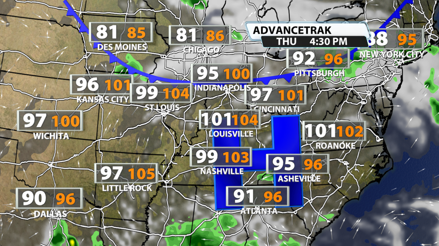
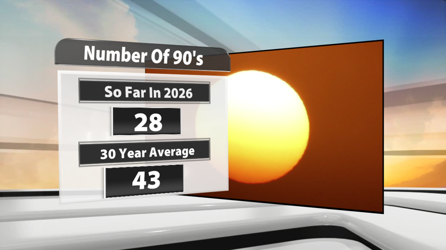
Thursday will likely be our hottest day, so we have to find a silver lining somewhere. What is it? Ironically, it's the "feels-like" temperature! A few weeks ago, temperatures topped out in the low and middle 90s, but they felt like they were around 110 degrees at times. This week, temperatures will feel like they are between 100 and 105 degrees most afternoons. Models, like in the picture below, take the actual air temperature above 100 degrees but only have it feeling like 104 degrees. While that's obviously still very hot, it isn't as miserable as what we had earlier this month.

High temperatures could come crashing down to the 80s next weekend as a cold front slides in from the north on Saturday.


