
Another round of rain moves in to end the work week. After such beautiful weather Thursday, the atmosphere has some work to do before rain will fall.
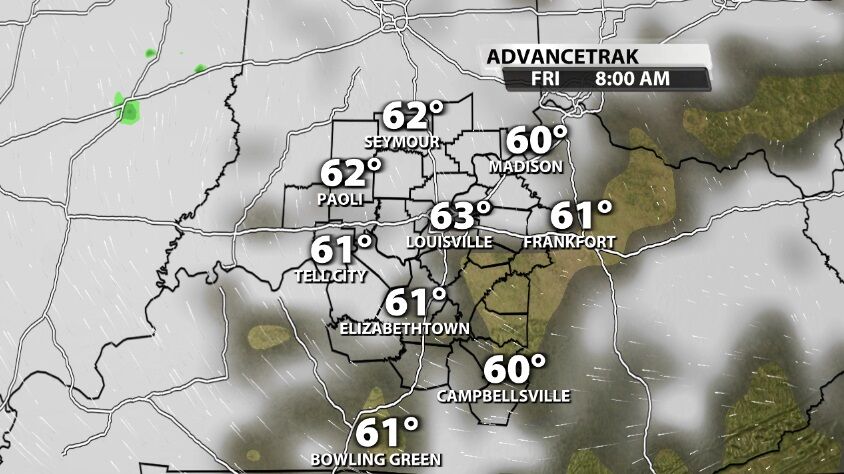
Friday morning brings more clouds and moisture to the atmosphere. The dew point will need to come up a bit before rain will fall in our area.
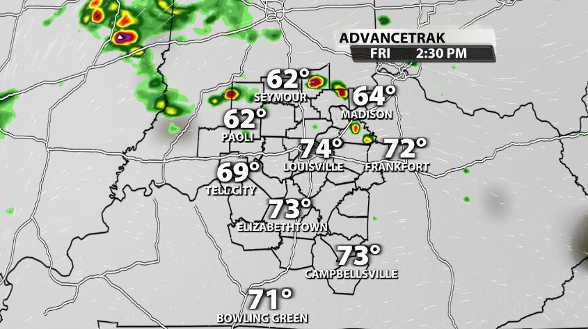
Storms should start popping up in central and southern Indiana around 1 PM or 2 PM with more rain spread south through the afternoon.
At this point the threat of severe weather looks low. With limited heat and humidity and no significant forcing mechanism, there's not much energy to work with. With that in mind, the best area for storms to develop will be in our far northern and northeastern communities.
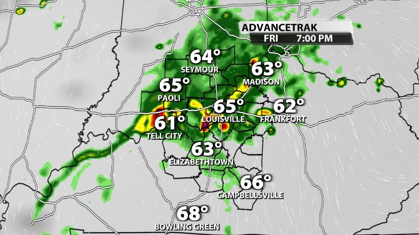
Not everyone will see rain from this round. The heaviest, most organized rain will be north of the river with lighter showers extending south. Rain totals reach about a tenth of an inch south of the river, but where heavier rain pops up to the north, you may get closer to half an inch of rain or even a bit more.
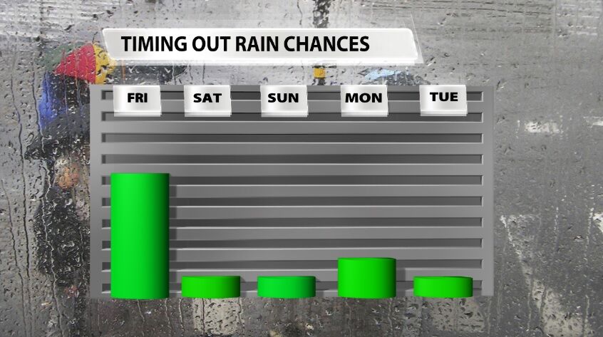
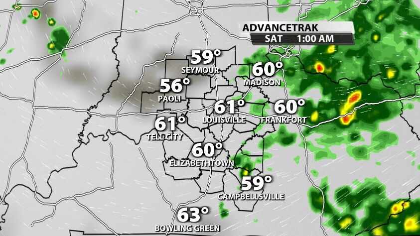
While this isn't our only chance for rain in the next few days, it is by far the best. From this point on, we will be dealing more with heat and humidity-driven pop-up storms next week.


