

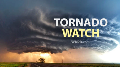

The NWS Storm Prediction Center has issued a
* Tornado Watch for portions of
East-Central and Southeast Illinois
Central and Southern Indiana
Far Northern Kentucky
Western Ohio
* Effective this Wednesday morning from 620 AM until NOON EDT.
* Primary threats include...
A couple tornadoes possible
Scattered damaging wind gusts to 70 mph likely
Isolated large hail events to 1.5 inches in diameter possible
SUMMARY...Thunderstorm coverage is expected to increase over the
next few both within and ahead of a convective line approaching from
the west. A warm, moist, and unstable airmass is in place across
much of the Ohio Valley, with very strong low-level shear in places
as well. These environmental conditions will support strong to
severe thunderstorms capable of all severe hazards, including
tornadoes.
The tornado watch area is approximately along and 75 statute miles
north and south of a line from 10 miles south of Salem IL to 25
miles east northeast of Dayton OH. For a complete depiction of the
watch see the associated watch outline update (WOUS64 KWNS WOU1).
PRECAUTIONARY/PREPAREDNESS ACTIONS...
REMEMBER...A Tornado Watch means conditions are favorable for
tornadoes and severe thunderstorms in and close to the watch
area. Persons in these areas should be on the lookout for
threatening weather conditions and listen for later statements
and possible warnings.


