
While there are no active named storms in the Atlantic, the National Hurricane Center is monitoring four areas of potential development. The one closest to the U.S. is the one most likely to develop into a tropical cyclone soon.

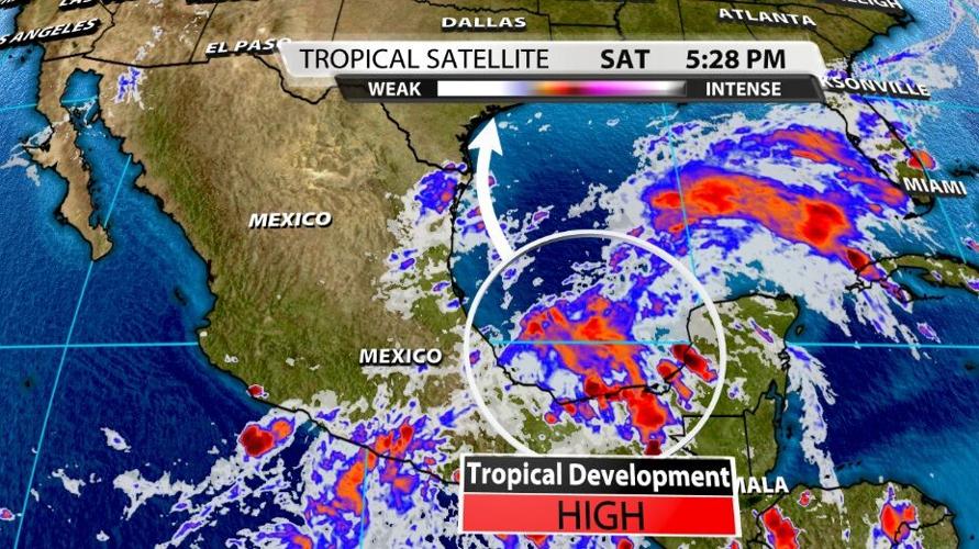
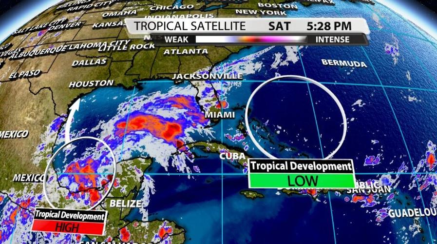
This highlighted area in the southwestern Gulf of Mexico has a 90% chance of developing into a tropical cyclone in the next 5 days. If you shorten that window to the next two days, this cluster of storms has an 80% chance of developing into a tropical cyclone in that window. All that means is that this storm will likely develop very soon. Here's the National Hurricane Center discussion of this area of storms:
 A tropical wave and an upper-level trough continue to produce a
large area of disorganized showers and thunderstorms over portions
of southeastern Mexico and the southern and central Gulf of Mexico.
Although upper-level winds are not conducive for development
currently, they are expected to become more favorable for the system
during the next day or so. A tropical depression is likely to form
on Sunday or Monday while the disturbance moves northwestward and
then northward near the coast of northeastern Mexico.  Further
development will be possible through the middle of next week if it
remains over water, and interests along the western and northwestern
Gulf coast should monitor the progress of this system.  An Air Force
Hurricane Hunter aircraft is scheduled to investigate the system
tomorrow.

Regardless of development, this disturbance is expected to produce
heavy rain across portions of Central America and the Yucatan
Peninsula through today which may lead to flash flooding and
mudslides. By late this weekend, heavy rain will likely reach
portions of the western Gulf coast, including coastal Texas and
Louisiana through the middle of next week. Localized significant
rainfall amounts will be possible, potentially resulting in areas of
flash and urban flooding.

The Hurricane Center is also monitoring a spot out in the Atlantic ocean. It may look like an empty circle right now, but conditions are favorable for more storms to pop up here in the next few days. This is just something they are watching, not an immediate threat. This area has a 20% chance of producing a tropical cyclone in the next 5 days. Here's what the NHC says about this area: "An area of low pressure is expected to form near the southeastern Bahamas in a few days. Gradual development of this system is possible thereafter as it moves northwestward across the western Atlantic."

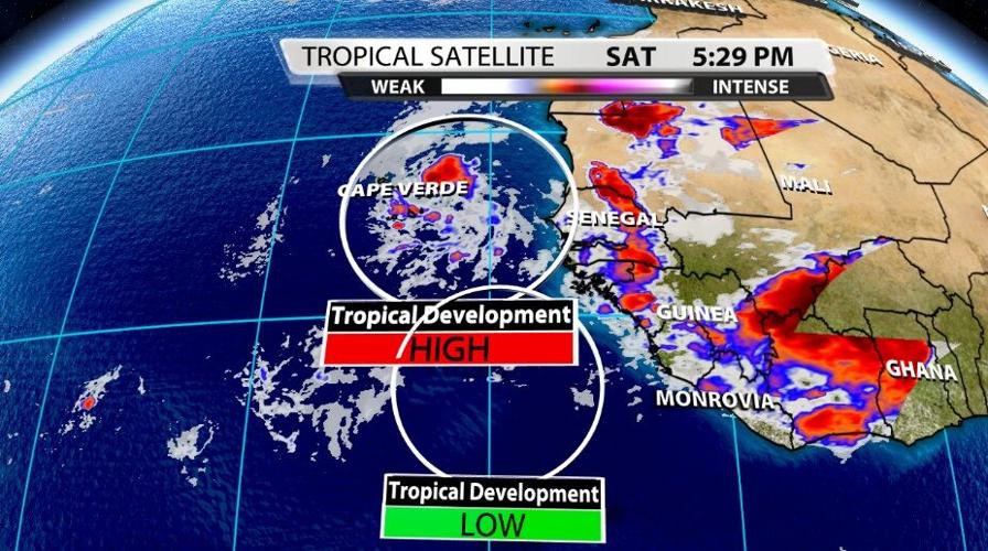
A wave is coming off Africa generating another cluster of storms worth watching. The circle at the bottom has a low potential for development in the next five days (only 20%), but the circle on top looks much more interesting. There's a 50% chance this will develop into a tropical cyclone in the next 2 days, but if you open that window to the next five days, that chance goes up to 70%. NHC says "a tropical depression is likely to form late this weekend or early next week while the system moves westward over the far eastern Atlantic." Hurricane season runs through the end of November, so we are still very much in the middle of this.


