Rain has been falling off an on in our area most of the day, and there's more on the way. Your weekend won't be a washout; in fact, we are seeing signals in the data that more of your weekend will be rain-free than previously expected.
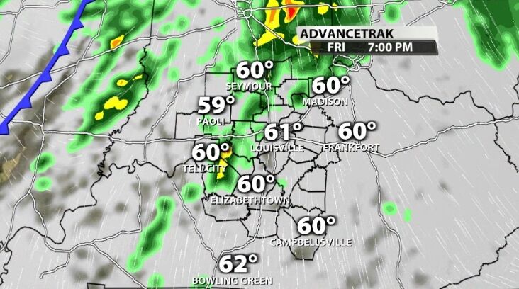
The rain so far Friday has been fairly light. We will see a few more showers and weak thunderstorms through the afternoon, but activity ramps up tonight.
Overnight as the cold front approaches, our next round of rain will bring a few rumbles of thunder. Heavy rain and gusty wind will also come through with this round, but we are not expecting widespread severe weather.
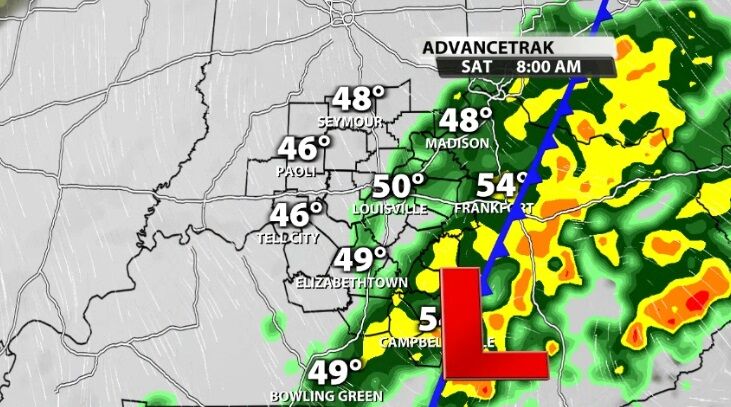
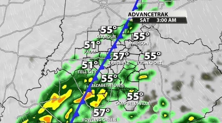
This pattern of heavier rain and storms will continue through Saturday morning. Through the late morning and early afternoon, the cold front will continue to push east and take the rain with it.
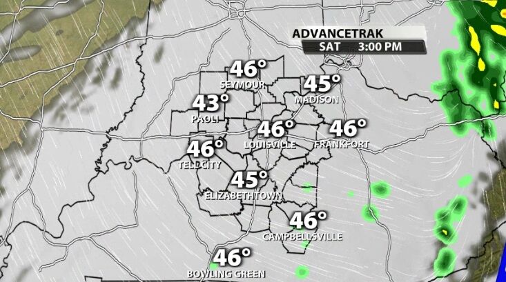
By mid-afternoon the rain should be out of our area with temperatures starting to drop. Sunday will be cooler.


