Let's get this out of the way right at the beginning: this will not be the big snow event of the season. In fact this snow will be falling while many of you are asleep or at least inside.

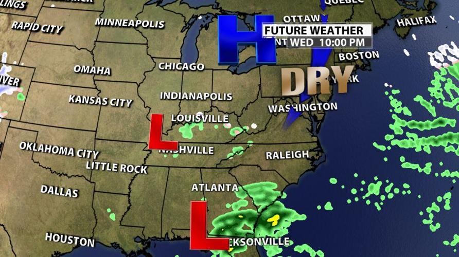
A low pressure center is bringing this small disturbance late Wednesday, but it has to erode a layer of dry air before it can bring us any snow.

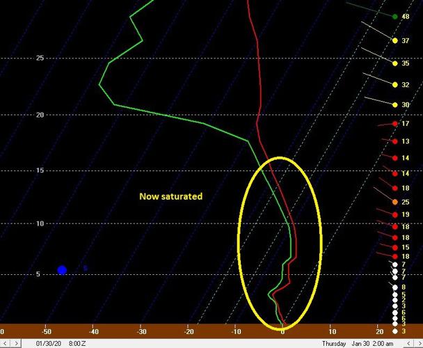
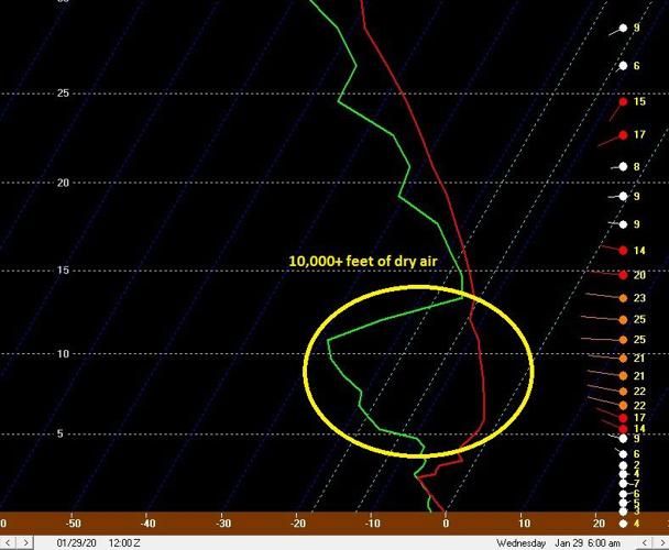
The image you're looking at above (and below) is a profile of the atmosphere for Louisville. It's looking about 30,000 feet up into the sky and showing you what conditions will be like between here and there. In the image above at 6 AM Wednesday, notice the yellow circle. That shows an area of dry air in the lower/mid-levels of the atmosphere. We know that because the green line representing dewpoint and the red line representing temperature are so far apart from each other. Compare that to the image below at 2 AM Thursday.

In the second profile, those two lines are much closer to each other. That means the snowflakes that form will fall through a saturated atmosphere and hold together until they reach us. The dry layer from the earlier time frame will cause the moisture falling through to evaporate and cool us through evaporative cooling.

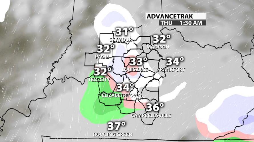
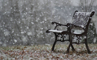
So what does that mean for you? It means between sunset Wednesday and sunrise Thursday some light snow showers can fall. That might give you a light dusting on your car or in the grass, but it shouldn't stick to roads for very long. Accumulation will be a fraction of an inch if you see anything at all. Some of you will miss this completely because these showers will be widely scattered.


