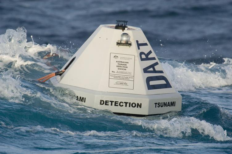

This is a buoy from the Deep-ocean Assessment and Reporting of Tsunamis (DART®) system, which can detect tsunamis as small as 1 cm and report them in real time.

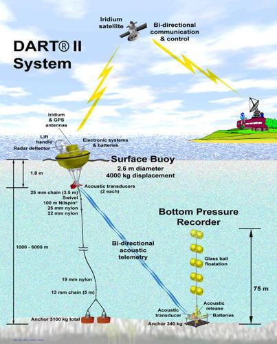
When deployed, the buoy floats on the ocean’s surface, linked to a tsunameter on the ocean floor that transmits data to the buoy for relay to a ground station via Iridium satellite communication system.

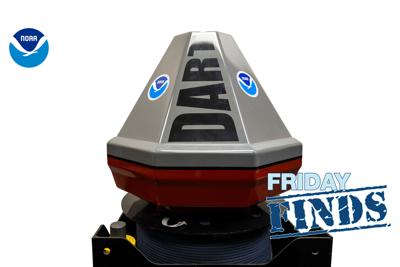
Deep-ocean Assessment and Reporting of Tsunamis (DART®) - Easy to Deploy (ETD) buoy system (Image credit: NOAA)
The second generation of DART® buoys features two-way communications, so that ground stations can pull tsunami data at any time.

Graphic showing the entire DART® II system used for tsunami forecasting. (Image credit: NOAA)
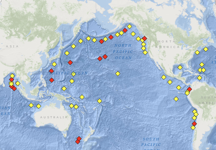
There are currently 74 DART® buoy systems around the world, most of them near coasts in the Pacific Ocean.


