
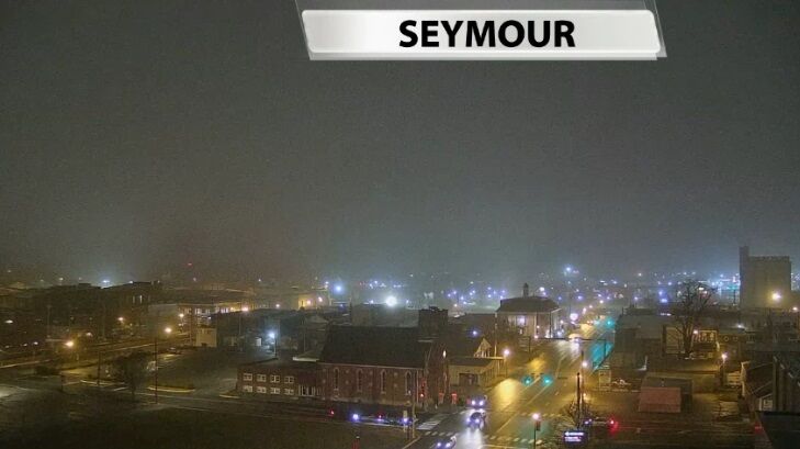
We've seen a bit of a slowdown in the rain as fog settled in across most of our area, but heavier rain moves in later today.
From
To
The week ahead brings several rain chances to our area, opportunities for more wintry weather to mix in when temperatures drop, and temperatures ranging from the 20s to 50s. This post will dig into the forecast in more detail for the next 48ish hours.

We saw some thick fog develop in part of Indiana this morning, so let's look at how fog forms and why not everyone sees it.

Saturday brought organized, light rain to part of our area. Even those who saw rain generally received less than a tenth of an inch, and some spots (mainly in southern Indiana) did not see measurable rain.

We all know outdoor sports are subject to weather, but there are some times it causes more problems than others. The National Weather Service office in Louisville compiled a list of some of the biggest weather events that have impacted football games.

We have seen patchy fog develop a few mornings this week, so let's look at how fog forms and why not everyone sees it.

You have most likely seen this phenomenon before over a lake or pond, but in the winter you can sometimes see "steam" above the Ohio River. Technically what you're seeing isn't steam but more of a cloud or fog!

We got to see a treat this morning as the sun started to break through the fog around our communities. Watch carefully to see a fogbow or "white rainbow" form toward the middle of our camera view in Simpsonville

Thursday morning many of you dealt with rain during your commute. Now you may be dealing with low visibilities for your Friday morning drive. You'll notice the similarities between the two maps below - where the heaviest rain fell is generally where this Dense Fog Advisory is centered.

If you guessed fogbow, ghost rainbow, white rainbow, or cloudbow, you're right! All of those names can apply to this unusual weather phenomenon.