

After topping out in the 70s on Thursday, it's crazy to think we will see accumulating snow potential on Sunday! But it's in the data. Let's break down what's coming our way.

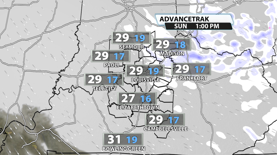
Snow is likely in Kentuckiana on Sunday. But who's most likely to receive some? Just about anyone cold see a flurry fly, but the better chance for actual snow showers will be in the north of the Ohio River and east of I-65. The most likely time frame for snow showers to pick up is during the mid-morning and afternoon hours.

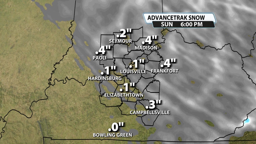
Want to see what is likely a "worst" case scenario? Look no further than than the picture above with snowfall totals up to almost a half inch. It won't be impossible to get accumulating snowfall, but it could be difficult to tally up anything more than a quarter of an inch for most of us. A dusting to a coating is the most likely scenario. Just keep in mind that snow bursts can reduce your visibility when driving and could cause slick spots in a hurry. Folks closer to Cincinnati have a higher chance of seeing the higher end of the potential snowfall totals.

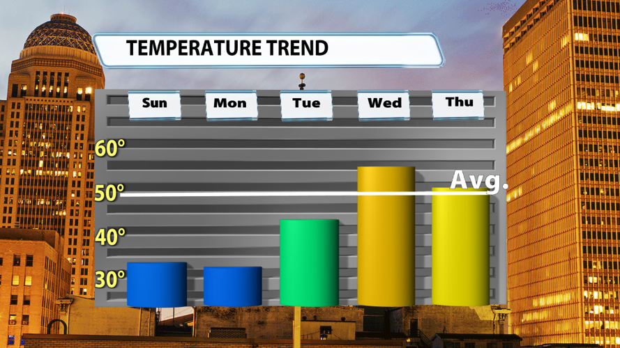
We start the next work week just like we end the weekend: cold. And some flurries won't be ruled out on Monday. But a wind shift on Tuesday will bring temperatures out of the 30s and into the 40s for highs. We climb to the 50s both Wednesday and Thursday.

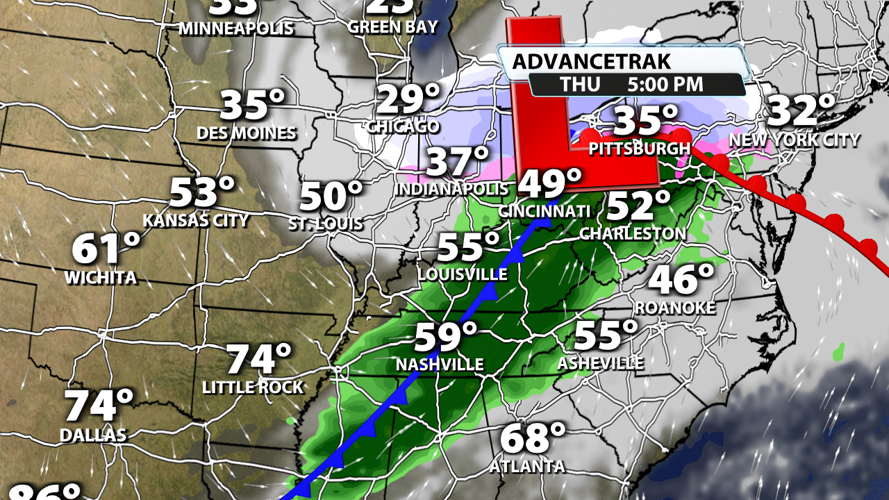
A warm up this time of year can often indicate a new chance for rain, and that is absolutely the case for the middle of the next week. Rain looks likely Wednesday and/or Thursday, but we haven't quite nailed down the timing just yet. After the rain, Friday should turn out sunny.


