Another round of storms passed through our communities Sunday afternoon, pushed ahead of this cold front. As the front clears our area overnight, it will bring some different weather to this forecast.
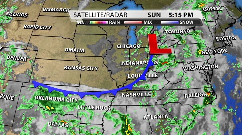
First, as the front passes through, it will take the storms away with it. Instead of storm chances dropping after sunset, tonight storm chances will drop after midnight.
Short-term
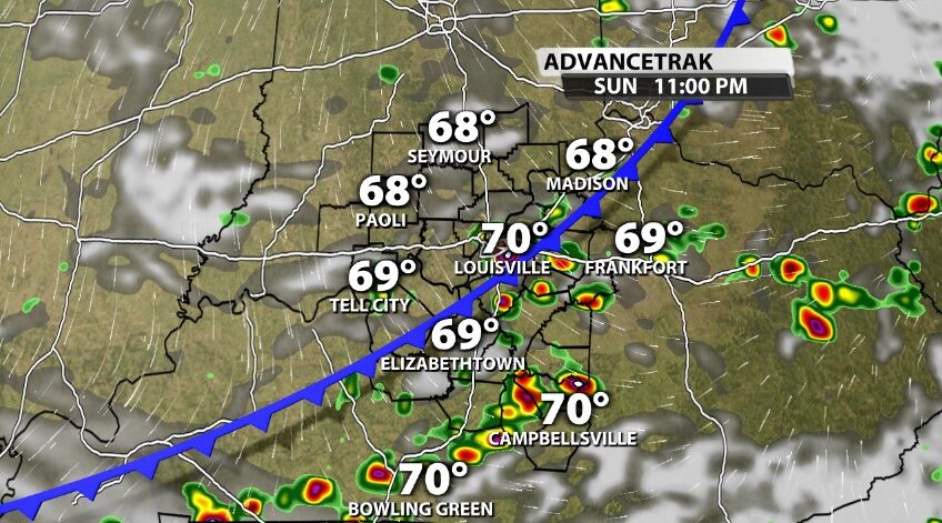
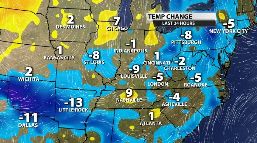
Remember a cold front is separating two different kinds of air, so after the front crosses through our area, we should feel some different air in its wake. In this case the air will be a little cooler right away.
The humidity will take a little longer to drop. Dew points will still be in the upper 60s Monday, dropping into the low 60s by the end of the day. Tuesday will bring reduced humidity.

Longer-range
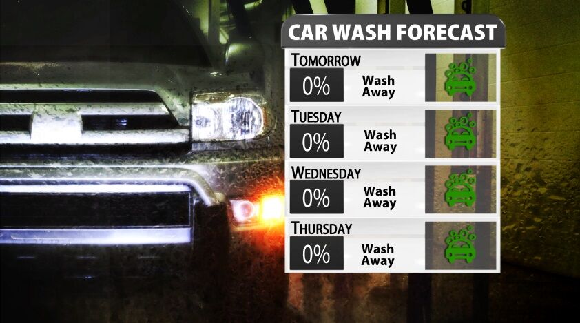
The longer-range looks dry and hot. We will head into an extended dry stretch this week, and the reason for that will also allow temperatures to climb. A high pressure center will slide across our region bringing sinking air. That makes it hard to get rain and clouds, which means more sunny days across our area.
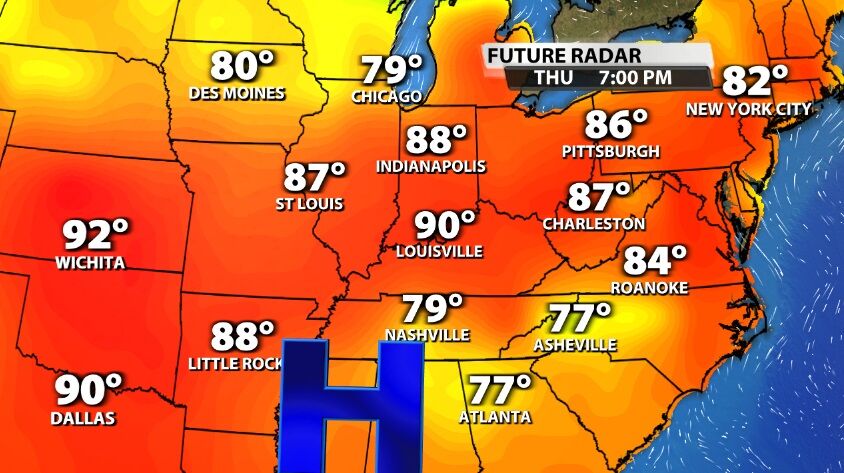
With more sunshine and sinking air, temperatures (especially in the afternoon) can build faster. It looks like high temperatures will be back in the 90s by the end of the week. Tune into WDRB News tonight at 10 for a look at when these storms clear out and how quickly the heat builds this week.


