Our next storm system is on the way! It mainly arrives later tonight, but some of us could see some of it a little earlier than that.
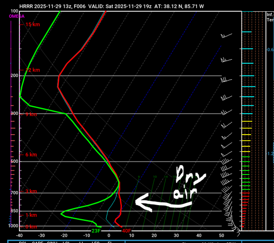
Snow showers attempt to get into our area this morning and into mid-afternoon. While some flakes are possible, we have a lot of dry air in the atmosphere right now that is going to hold much of those flakes from reaching the ground. You can see the dry air on an atmospheric sounding for our area early this afternoon.

That means that only some of the flakes could reach the ground. Evaporative cooling could allow for some of that snow to fall all the way, but a lot of it will be evaporated and will not accumulate in most of our area.
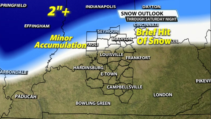
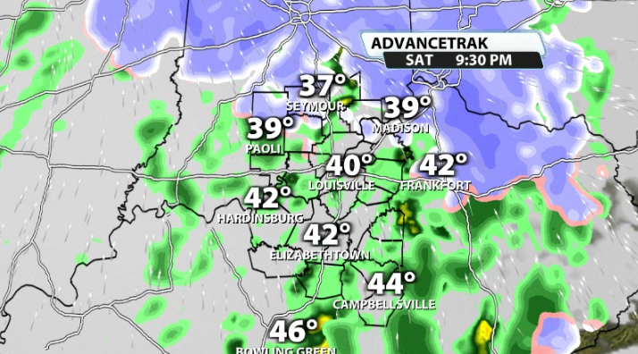
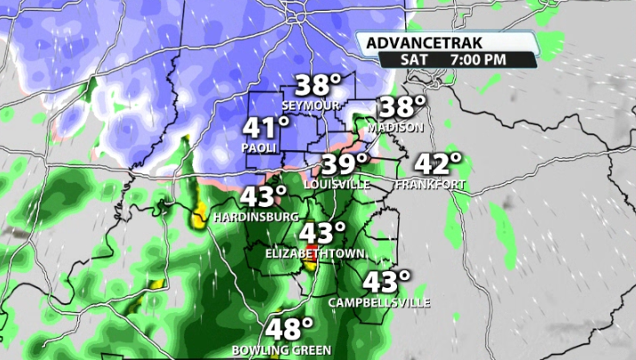
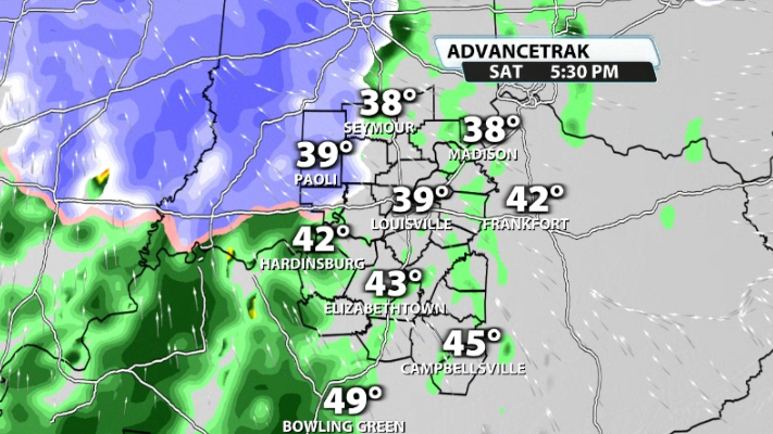
By this evening, mix showers/cold rain rolls into our area. By then, strong south wind has allowed for warm air advection into our area and the majority of our viewing area will be too warm from the surface to the clouds for snow to fall. Some of us could see a quick hit of snow to start, but will see it quickly move to a cold rain set-up for much of the night.


In terms of accumulation, this is not a good set-up for that for our area. With the winds picking up out of the south, our atmosphere will quickly warm and limit most/any snow from falling and accumulating. Some of our extreme northern communities could see some minor accumulation (mainly on grassy surfaces), but the real accumulation will be further north and into central Indiana.

Monday night/Tuesday
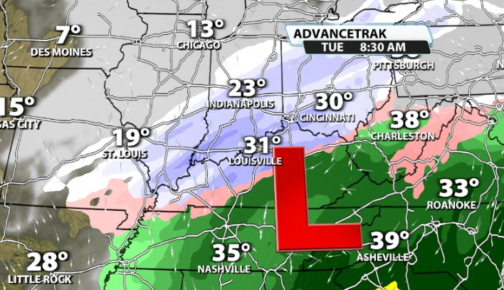
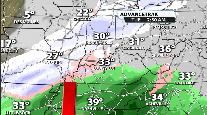
There is arguably a better chance of accumulating winter weather come Monday night and into Tuesday morning. Another system will be rolling on by, this time to our south, and will allow for more cold air to roll into our area.

The location of the low will be an important factor on who sees what mode of precipitation. If the low ends up further south, then more of our area could see an all snow scenario, but if it ends up closer to our viewing area, then we're talking more of a mix shower/cold rain set up. We will know more over the next couple of days.

