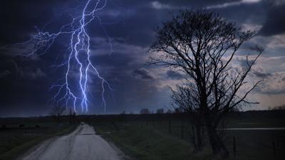
Brace for the likelihood of scattered severe storms later tonight as an ENHANCED risk for severe weather is in play.

The primary threat will be damaging straight-line wind gusts near 60mph. This is also a situation where hail near 1.5" in diameter is possible. Once it gets above an inch it typically causes damage to property.

The good news is that we get to enjoy the day with pretty nice weather. Our storms don't erupt until after supper time. I'm going to go with a generic storm timeline of 9pm - 3am.

Once these storms flare up to our west they will quickly form into a line.

They will then move at a fast pace to the East/Southeast near 50-60mph.


