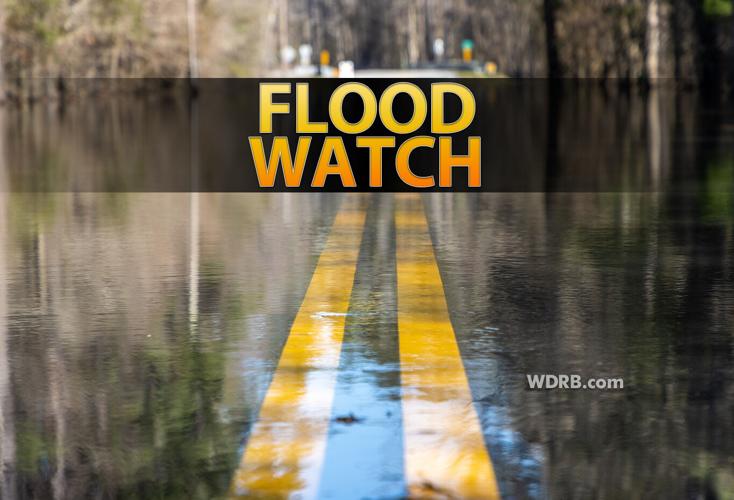


Ahead of increasing rain and storm chances today & tomorrow, the National Weather Service has issued a Flood Watch for a good chunk of our viewing area. Here is who's included:
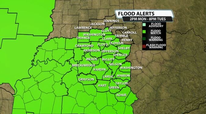
This is in effect from 2PM this afternoon (Monday) all the way through 8PM on Tuesday evening. A lot of the showers and storms moving in will be moving really slow and will have plenty of low level moisture to use to put down heavy rain and cause localized flooding in some areas. Here's more from the NWS on the Flood Watch:
* WHAT...Flash flooding caused by excessive rainfall is possible.
* WHERE...Portions of Indiana, including the following areas, Clark
IN, Crawford, Dubois, Floyd, Harrison IN, Orange, Perry, Scott IN
and Washington IN and Kentucky, including the following areas,
Adair, Allen, Barren, Breckinridge, Bullitt, Butler, Clinton,
Cumberland, Edmonson, Grayson, Green, Hancock, Hardin, Hart,
Jefferson, Larue, Logan, Marion, Meade, Metcalfe, Monroe, Nelson,
Ohio, Oldham, Russell, Shelby, Simpson, Spencer, Taylor, Warren
and Washington KY.
* WHEN...From this afternoon through Tuesday evening.
* IMPACTS...Excessive runoff may result in flooding of rivers,
creeks, streams, and other low-lying and flood-prone locations.
Low-water crossings may be flooded.
* ADDITIONAL DETAILS...
- Ample moisture will move into our region ahead of a slow
moving disturbance. This combined with an unstable airmass
and slow storm movement will create the potential for locally
heavy rainfall. 1 to 2.5 inches is expected to fall for most
between now and late Tuesday, however localized amounts over
3+" will be possible.


