

The cold front that we've been waiting on has now rolled through our area, but that doesn't mean we're done with the rain just yet. More moisture on the backside of the low that rolled through will swing through our area today, popping up more gusty showers and possibly a storm or two.
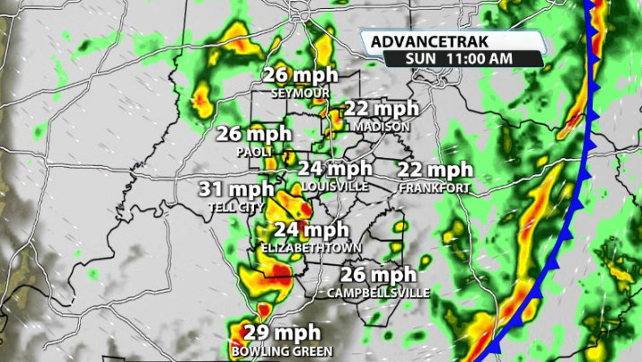
By mid-morning, data shows more downpours rolling into our area as we still have some moisture present. These would have limited access to storm energy, but there is just enough there this morning to help sustain a few storms as they move on by.
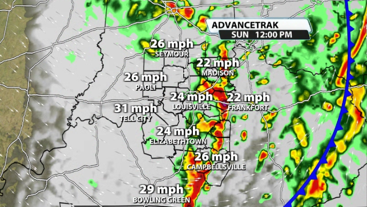
The afternoon will be filled with more spotty showers instead of widespread rain. The winds will pick back up again along with the showers and will help drag in much cooler air. We'll likely be in the lo-mid 50s by early afternoon as showers pass on by.
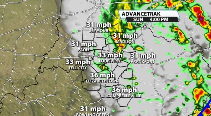
We'll slowly see that come to an end before sunset and allow skies to clear overnight. That means our temperatures will be dropping a lot more as well, back into the mid 40s by Monday morning.
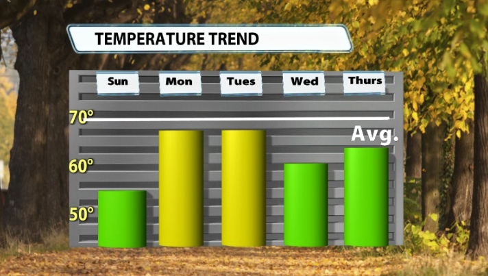
From there, we have a much cooler pattern in our area, with every single day through Friday being below normal and in the low to mid 60s.
Watch for isolated wind gusts 30-40mph at times for your Sunday!


