
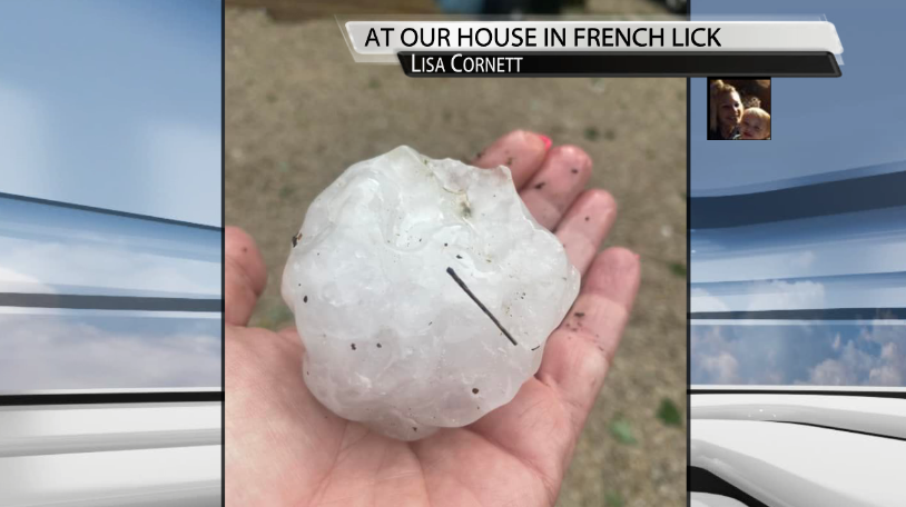
Well last night was certainly a loud one for some of us. Storms rolled through our entire area yesterday afternoon and evening and brought some very large hail to parts of our area that ended up doing a considerable amount of damage in some locations as well, like in French Lick.


We don't usually see very large hail around here too often like the Midwestern states do, but occasionally we can get events like this where large hail falls across part of our area.
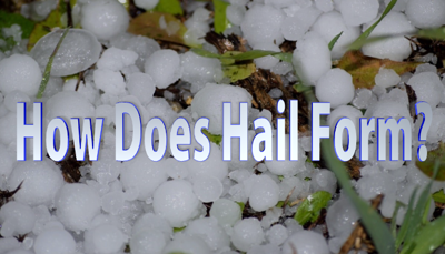
After all of that last night, you may be wondering, how does Hail form and what exactly is it?
Here's a video from Meteorologist Hannah Strong explaining how hail forms.
Hail begins to form first, with a strong updraft. An updraft is warm humid air moving up inside of a cloud. This updraft is moving supercooled water droplets, which are tiny pieces of ice, up into the cloud. Once these supercool water droplets cross the freezing mark, the area that is 32 degrees or colder within the cloud, hail stones begin to form. Water and ice stick together and add on layer by layer, hence why hail stones are not perfectly round circles, instead, they are more jagged. Stronger updrafts can support and hold up heavier hail, allowing them to grow larger and larger within the cloud. Once the hailstone becomes too heavy, it falls out of the cloud and onto the ground where it can cause damage to cars and houses.
So with last night's hail, the updrafts in the storms rolling through were pretty strong considering the size of the hail that ended up falling.
How do the hailstones we saw last night, as big as they were, stack up to the history books across our area? The largest hailstone recorded in Indiana's history was back in 2000 in Cayuga, IN at 4.5"! The largest hailstone recorded in Kentucky's history was a staggering 5.0" in diameter in Princeton, KY during the 1974 tornado super outbreak.
To answer your curiosity further, the largest officially recognized hailstone ever recorded in the United States was in Vivian, South Dakota in 2010 when a huge 8.0" diameter hailstone fell.


