

Saturday's weather was about as perfect as it can get in our area for early August. Low humidity, cooler than normal temperatures, and sunshine were a perfect mixture. However, great things can't last forever and it is August after all.
Humidity is on the rise. We can start to see that happening as early as this morning with dew points reaching the mid 60s in some of our Kentucky counties. This moisture will slowly bleed its way northward and make it feel a tad more muggy than it did on Friday & Saturday.
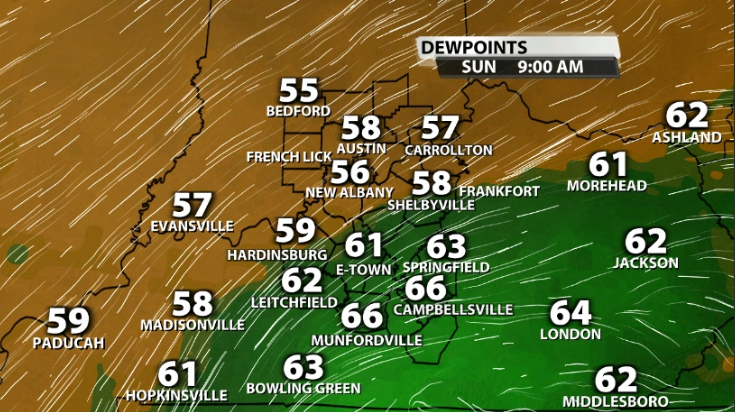
This also brings in more storm chances. Since we have more moisture present, storms can use that. A few storms and showers are possible for Sunday, but most will be in our southern KY counties where that muggy air is present.
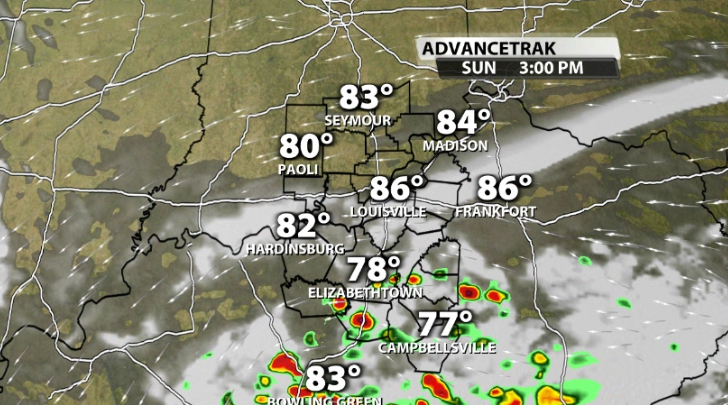
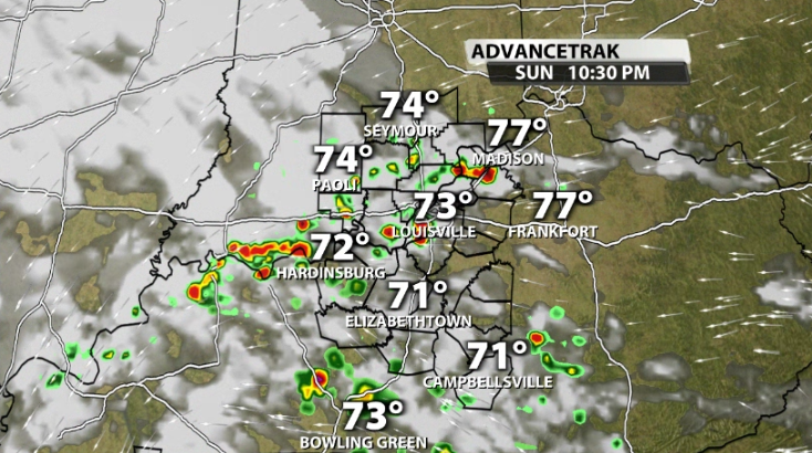
As the day goes on and the moisture moves north, the showers will eventually take over the dry air that is over Louisville and helping to try to keep showers to our south. This is where Louisville's small storm chance comes into play today and this evening.
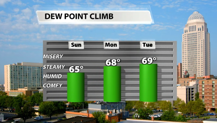
Dew points continue to climb the next few days, which will make it feel more muggy through the middle of the week and will also help bring in more scattered storm chances during the work week.


