
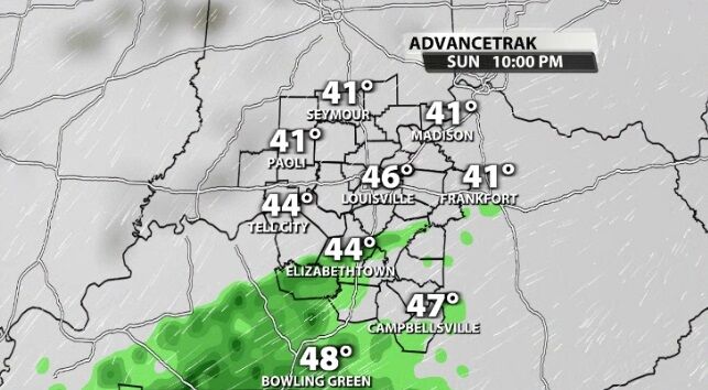
With rounds of rain in the forecast this weekend, let's take an early look at the timing to help you set your plans.
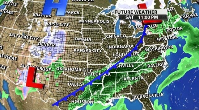
A cold front will be draped near our are for most of the weekend which is why the rain chance sticks around instead of moving through in a night and clearing up quickly.
The heaviest rain should move through late Friday/early Saturday when the rain becomes more widespread and a few thunderstorms will be possible.
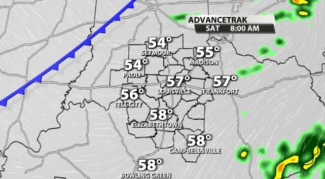
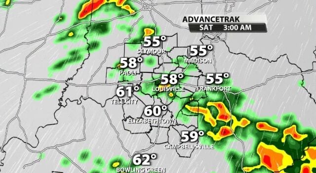
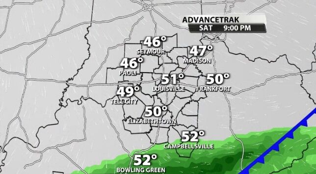
Most of the day Saturday should stay dry, but cloudy. The next batch of rain will start up again Saturday evening. That Saturday night/Sunday morning round looks most likely farther south, especially focused in Kentucky.
Another round of rain will start up again in those same spots late Sunday night and continue off and on through the day Monday. We will post more about that next system in the coming days.
Tune into WDRB News tonight to see Rick DeLuca's updated forecast.


