
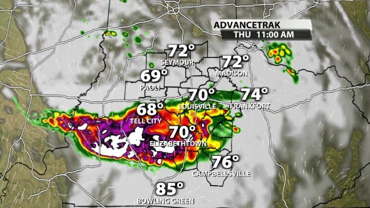
Severe storms are moving through our area this morning and rounds of strong storms will plague our area for the next few days.
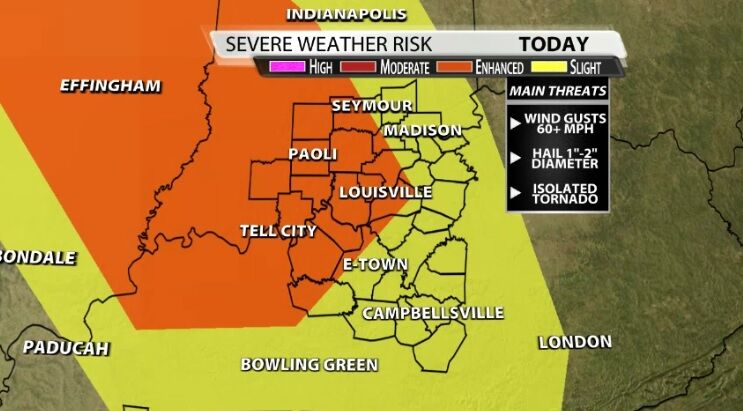
The Storm Prediction Center upgraded their risk of severe storms for our communities today to an Enhanced risk (level 3 of 5) for strong wind gusts up to 60 mph, hail 1" to 2" in diameter, and isolated tornadoes. These storms will also bring heavy rain leading to a risk of flash flooding.
The round of storms this morning will continue moving south mainly impacting our communities west of I-65 with the threats listed above.
This afternoon we may see another cluster of storms move through the area or scattered pop-up storms, especially in our eastern spots who haven't seen the rain yet.
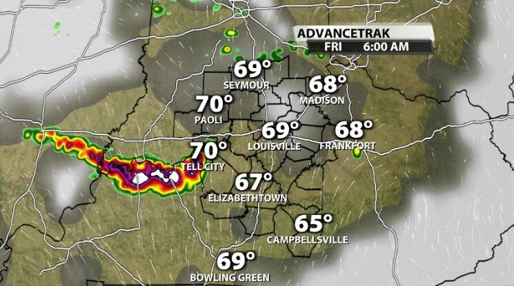
Friday morning may wind up looking very similar to Thursday morning as we watch the next rounds of strong storms setup northwest of here and move toward us.
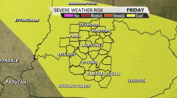
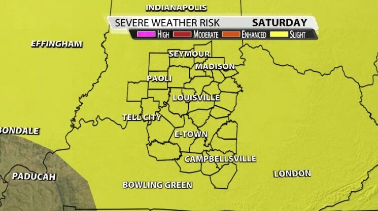
The Storm Prediction Center includes our area in a Slight risk of severe storms both Friday and Saturday to make you aware of the potential for more rounds of strong to severe storms as we get into the weekend.
Each round of storms depends heavily on what happened in the one before it so please check the forecast regularly for updates on what to expect in these future rounds.


